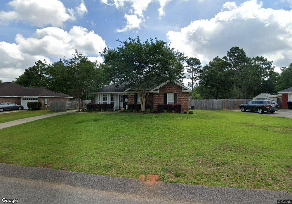
9785 Oak Forrest Dr Mobile, AL 36695
Baker NeighborhoodEstimated Value: $200,697 - $250,000
3
Beds
2
Baths
1,514
Sq Ft
$150/Sq Ft
Est. Value
About This Home
This home is located at 9785 Oak Forrest Dr, Mobile, AL 36695 and is currently estimated at $227,674, approximately $150 per square foot. 9785 Oak Forrest Dr is a home located in Mobile County with nearby schools including Elsie Collier Elementary School, Bernice J Causey Middle School, and Baker High School.
Ownership History
Date
Name
Owned For
Owner Type
Purchase Details
Closed on
Dec 27, 2013
Sold by
Fowler Brenda
Bought by
Fowler George and Fowler Vanessa
Current Estimated Value
Home Financials for this Owner
Home Financials are based on the most recent Mortgage that was taken out on this home.
Original Mortgage
$100,800
Outstanding Balance
$28,421
Interest Rate
4.38%
Mortgage Type
New Conventional
Estimated Equity
$199,253
Purchase Details
Closed on
Feb 14, 2005
Sold by
Fowler Brenda and Case #Dr 2003-502339-C
Bought by
Fowler George E
Purchase Details
Closed on
Mar 8, 2002
Sold by
John Howard Homes Ltd
Bought by
Fowler George E and Fowler Brenda
Home Financials for this Owner
Home Financials are based on the most recent Mortgage that was taken out on this home.
Original Mortgage
$101,550
Interest Rate
6.95%
Create a Home Valuation Report for This Property
The Home Valuation Report is an in-depth analysis detailing your home's value as well as a comparison with similar homes in the area
Home Values in the Area
Average Home Value in this Area
Purchase History
| Date | Buyer | Sale Price | Title Company |
|---|---|---|---|
| Fowler George | $120,000 | None Available | |
| Fowler George E | -- | None Available | |
| Fowler George E | -- | -- |
Source: Public Records
Mortgage History
| Date | Status | Borrower | Loan Amount |
|---|---|---|---|
| Open | Fowler George | $100,800 | |
| Previous Owner | Fowler George E | $101,550 |
Source: Public Records
Tax History Compared to Growth
Tax History
| Year | Tax Paid | Tax Assessment Tax Assessment Total Assessment is a certain percentage of the fair market value that is determined by local assessors to be the total taxable value of land and additions on the property. | Land | Improvement |
|---|---|---|---|---|
| 2024 | $773 | $15,870 | $4,000 | $11,870 |
| 2023 | $729 | $14,940 | $4,000 | $10,940 |
| 2022 | $590 | $13,520 | $4,000 | $9,520 |
| 2021 | $579 | $13,300 | $4,000 | $9,300 |
| 2020 | $596 | $13,650 | $3,200 | $10,450 |
| 2019 | $604 | $13,840 | $0 | $0 |
| 2018 | $610 | $13,960 | $0 | $0 |
| 2017 | $612 | $12,560 | $0 | $0 |
| 2016 | $552 | $12,760 | $0 | $0 |
| 2013 | -- | $27,220 | $0 | $0 |
Source: Public Records
Map
Nearby Homes
- 9510 Gaslight Ct
- 1120 Colonial Hills Dr
- 1100 Wellington Ct S
- 1261 Comstock Ct
- 9410 Ashwood Ct
- 9556 Bridgeton Ct
- 1345 Camden Ct
- 1306 Summerchase Ct
- 11900 Airport Blvd
- 1081 Hillside Ct
- 10061 Sasser Ln
- 9601 Royal Woods Dr S
- 960 Abilene Dr W
- 10153 Tarawood Ct
- 1151 Seven Hills Curve S
- 9751 Pine Knoll Rd
- 10164 Waterford Way
- 811 Royal Woods Dr W
- 1125 Wakefield Dr W
- 789 Royal Woods Dr W Unit 7
- 9775 Oak Forrest Dr
- 9795 Oak Forrest Dr
- 9662 Firethorn Dr
- 9765 Oak Forrest Dr
- 9639 Boxford Ct
- 9631 Boxford Ct
- 9810 Oak Forrest Dr
- 9790 Oak Forrest Dr
- 9652 Firethorn Dr
- 9770 Oak Forrest Dr
- 9800 Oak Forrest Dr
- 9755 Oak Forrest Dr
- 9780 Oak Forrest Dr
- 9632 Boxford Ct Unit 3
- 9760 Oak Forrest Dr
- 9681 Firethorn Dr
- 9671 Firethorn Dr
- 9623 Boxford Ct
- 9661 Firethorn Dr
- 9642 Firethorn Dr