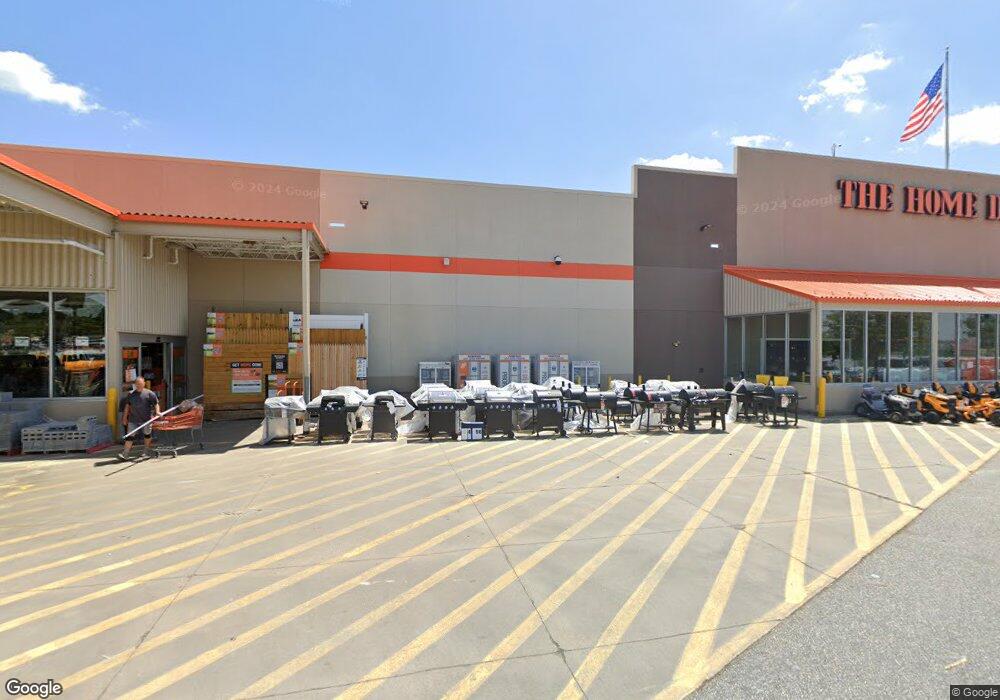
979 Beards Hill Rd Aberdeen, MD 21001
Estimated Value: $10,167,970
Studio
--
Bath
104,940
Sq Ft
$97/Sq Ft
Est. Value
About This Home
This home is located at 979 Beards Hill Rd, Aberdeen, MD 21001 and is currently estimated at $10,167,970, approximately $96 per square foot. 979 Beards Hill Rd is a home located in Harford County with nearby schools including Roye-Williams Elementary School, Aberdeen Middle School, and Aberdeen High School.
Ownership History
Date
Name
Owned For
Owner Type
Purchase Details
Closed on
Sep 18, 2007
Sold by
Home Depot U S A Inc
Bought by
Hd Development Of Maryland Inc
Current Estimated Value
Purchase Details
Closed on
Oct 23, 2006
Sold by
Home Depot U S A Inc
Bought by
Hd Development Of Maryland Inc
Purchase Details
Closed on
May 9, 2006
Sold by
C P Holdings Inc
Bought by
Home Depot U S A Inc
Purchase Details
Closed on
Oct 27, 1988
Sold by
K Mart Corporation
Bought by
C P Holdings Inc
Create a Home Valuation Report for This Property
The Home Valuation Report is an in-depth analysis detailing your home's value as well as a comparison with similar homes in the area
Home Values in the Area
Average Home Value in this Area
Purchase History
| Date | Buyer | Sale Price | Title Company |
|---|---|---|---|
| Hd Development Of Maryland Inc | -- | -- | |
| Hd Development Of Maryland Inc | -- | -- | |
| Home Depot U S A Inc | $7,500,000 | -- | |
| C P Holdings Inc | $3,605,200 | -- |
Source: Public Records
Tax History
| Year | Tax Paid | Tax Assessment Tax Assessment Total Assessment is a certain percentage of the fair market value that is determined by local assessors to be the total taxable value of land and additions on the property. | Land | Improvement |
|---|---|---|---|---|
| 2025 | $78,118 | $8,488,367 | $0 | $0 |
| 2024 | $75,315 | $8,194,433 | $0 | $0 |
| 2023 | $75,315 | $7,900,500 | $3,323,200 | $4,577,300 |
| 2022 | $75,213 | $7,889,700 | $0 | $0 |
| 2021 | $79,129 | $7,878,900 | $0 | $0 |
| 2020 | $79,129 | $7,868,100 | $3,323,200 | $4,544,900 |
| 2019 | $79,044 | $7,859,567 | $0 | $0 |
| 2018 | $78,256 | $7,851,033 | $0 | $0 |
| 2017 | $78,171 | $7,842,500 | $0 | $0 |
| 2016 | -- | $7,842,500 | $0 | $0 |
| 2015 | $81,024 | $7,842,500 | $0 | $0 |
| 2014 | $81,024 | $7,877,000 | $0 | $0 |
Source: Public Records
Map
Nearby Homes
- 642 Andrews Rd
- 302 Graceford Dr
- 303 Graceford Dr
- 624 Southgate Rd
- 0 Arthur Rd Unit MDHR2050208
- 11 Bush Chapel Rd
- 631 W Bel Air Ave
- 21 Gunnison Dr
- 516 Beards Hill Rd
- 520 Beards Hill Rd
- 3501 Garrett Ct
- 479 Manor Rd
- 521 Beards Hill Rd
- 607 Northgate Rd
- 687 Plater St
- 0 Paradise Rd
- 301 Northeast Rd
- 125 Valley Rd
- 770 Custis St
- 812 Long Dr Unit F
- 939 Beards Hill Rd
- 999 Middleton Rd
- 1024 Beards Hill Rd
- 950 Middleton Rd
- 436 Doris Cir
- 1024 Middleton Rd
- 440 Doris Cir
- 432 Doris Cir
- 1021 Middleton Rd
- 444 Doris Cir
- 987 Beards Hill Rd
- 428 Doris Cir
- 983 Beards Hill Rd
- 991 Beards Hill Rd
- 448 Doris Cir
- 1004 Beards Hill Rd
- 424 Doris Cir
- 996 Beards Hill Rd
- 929 Beards Hill Rd
- 452 Doris Cir
Your Personal Tour Guide
Ask me questions while you tour the home.