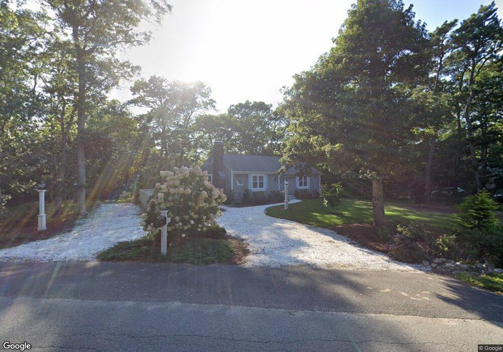
979 Crowells Bog Rd Brewster, MA 02631
Estimated Value: $532,000 - $680,000
2
Beds
1
Bath
1,001
Sq Ft
$597/Sq Ft
Est. Value
About This Home
This home is located at 979 Crowells Bog Rd, Brewster, MA 02631 and is currently estimated at $597,861, approximately $597 per square foot. 979 Crowells Bog Rd is a home located in Barnstable County with nearby schools including Nauset Regional Middle School, Nauset Regional High School, and Cape Cod Lighthouse Charter School.
Ownership History
Date
Name
Owned For
Owner Type
Purchase Details
Closed on
Aug 10, 1990
Sold by
Plante Joseph P
Bought by
Strait Edward C
Current Estimated Value
Home Financials for this Owner
Home Financials are based on the most recent Mortgage that was taken out on this home.
Original Mortgage
$83,000
Interest Rate
10.04%
Mortgage Type
Purchase Money Mortgage
Create a Home Valuation Report for This Property
The Home Valuation Report is an in-depth analysis detailing your home's value as well as a comparison with similar homes in the area
Home Values in the Area
Average Home Value in this Area
Purchase History
| Date | Buyer | Sale Price | Title Company |
|---|---|---|---|
| Strait Edward C | $118,500 | -- |
Source: Public Records
Mortgage History
| Date | Status | Borrower | Loan Amount |
|---|---|---|---|
| Open | Strait Edward C | $114,600 | |
| Closed | Strait Edward C | $83,000 | |
| Previous Owner | Strait Edward C | $50,000 |
Source: Public Records
Tax History Compared to Growth
Tax History
| Year | Tax Paid | Tax Assessment Tax Assessment Total Assessment is a certain percentage of the fair market value that is determined by local assessors to be the total taxable value of land and additions on the property. | Land | Improvement |
|---|---|---|---|---|
| 2025 | $3,920 | $569,800 | $314,600 | $255,200 |
| 2024 | $3,662 | $537,700 | $296,800 | $240,900 |
| 2023 | $3,378 | $483,200 | $265,000 | $218,200 |
| 2022 | $3,164 | $403,000 | $220,700 | $182,300 |
| 2021 | $3,028 | $352,900 | $191,900 | $161,000 |
| 2020 | $2,934 | $340,400 | $191,900 | $148,500 |
| 2019 | $1,116 | $329,600 | $184,600 | $145,000 |
| 2018 | $2,675 | $323,900 | $184,600 | $139,300 |
| 2017 | $2,577 | $307,100 | $184,600 | $122,500 |
| 2016 | $2,641 | $313,300 | $193,100 | $120,200 |
| 2015 | $2,545 | $308,100 | $189,200 | $118,900 |
Source: Public Records
Map
Nearby Homes
- 33 Captain William Arthur Rd
- 958 Long Pond Rd
- 43 Billington Ln
- 43 Billington Ln Unit 43
- 274 Commons Way
- 96 Eaton Ln Unit 96
- 78 Eaton Ln Unit 78
- 78 Eaton Ln
- 55 Leona Terrace
- 737 Thousand Oaks Dr
- 52 Eaton Ln Unit (52)
- 30 Fox Crossing Rd
- 16 Commons Way
- 63 Trevor Ln Unit 63
- 82 Fletcher Ln Unit I
- 0 Commons Way Unit 22504099
- 765 Millstone Rd
- 60 Fletcher Ln Unit H
- 60 Fletcher Ln Unit C
- 46 Court Way
- 38 Newport Rd
- 11 Sarah Maker Ln
- 44 Newport Rd
- 18 Newport Rd
- 0 Sarah Maker Ln Unit 70878253
- 0 Sarah Maker Ln Unit 70888518
- 0 Sarah Maker Ln Unit 2008148
- 0 Sarah Maker Ln Unit 41806
- 0 Sarah Maker Ln Unit 2008174
- 0 Sarah Maker Ln Unit 7030190
- 0 Sarah Maker Ln Unit 21307878
- 0 Sarah Maker Ln Unit 20901511
- 0 Sarah Maker Ln
- 133 Newport Rd
- 988 Crowells Bog Rd
- 988 Crowell's Bog Rd
- 8 Newport Rd
- 54 Newport Rd
- 21 Sarah Maker Ln
- 16 Sarah Maker Ln