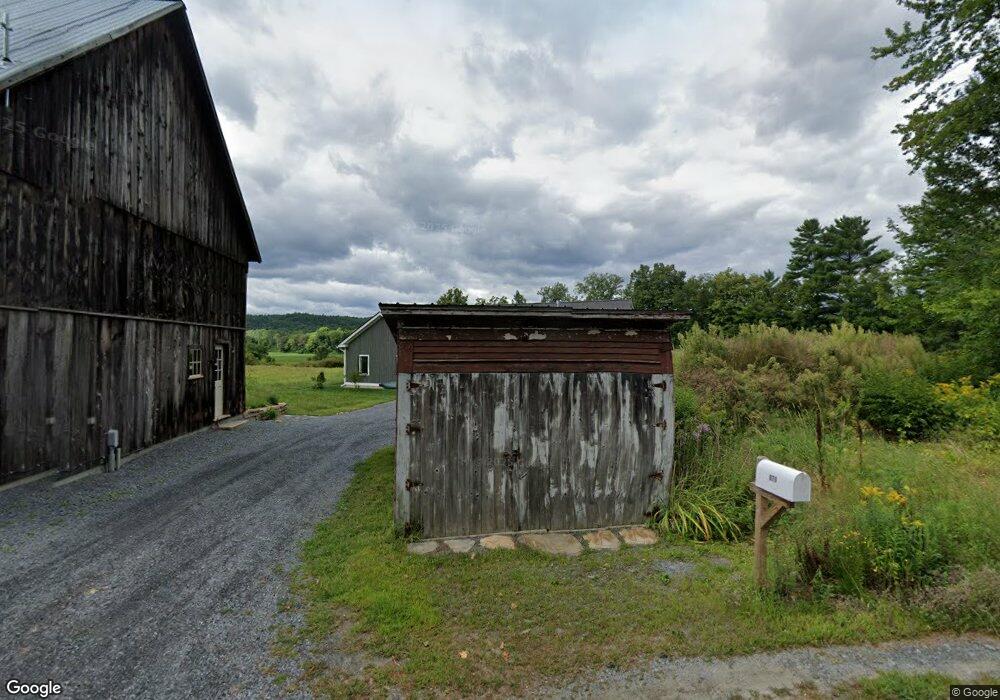
979 Nh Route 10 Orford, NH 03777
Estimated Value: $605,000 - $1,043,711
3
Beds
3
Baths
3,230
Sq Ft
$254/Sq Ft
Est. Value
About This Home
This home is located at 979 Nh Route 10, Orford, NH 03777 and is currently estimated at $818,928, approximately $253 per square foot. 979 Nh Route 10 is a home with nearby schools including Samuel Morey Elementary School and Rivendell Academy.
Ownership History
Date
Name
Owned For
Owner Type
Purchase Details
Closed on
Apr 19, 2019
Sold by
Cr Living Llc
Bought by
Clifford Sheri L and Clifford Charles H
Current Estimated Value
Home Financials for this Owner
Home Financials are based on the most recent Mortgage that was taken out on this home.
Original Mortgage
$310,000
Outstanding Balance
$273,094
Interest Rate
4.4%
Mortgage Type
New Conventional
Estimated Equity
$545,834
Purchase Details
Closed on
Aug 1, 2018
Sold by
Adams Wendy Est and Adams
Bought by
Paradee Linda D
Create a Home Valuation Report for This Property
The Home Valuation Report is an in-depth analysis detailing your home's value as well as a comparison with similar homes in the area
Home Values in the Area
Average Home Value in this Area
Purchase History
| Date | Buyer | Sale Price | Title Company |
|---|---|---|---|
| Clifford Sheri L | $35,000 | -- | |
| Clifford Sheri L | $35,000 | -- | |
| Paradee Linda D | -- | -- | |
| Paradee Linda D | -- | -- |
Source: Public Records
Mortgage History
| Date | Status | Borrower | Loan Amount |
|---|---|---|---|
| Open | Clifford Sheri L | $310,000 | |
| Closed | Clifford Sheri L | $310,000 |
Source: Public Records
Tax History Compared to Growth
Tax History
| Year | Tax Paid | Tax Assessment Tax Assessment Total Assessment is a certain percentage of the fair market value that is determined by local assessors to be the total taxable value of land and additions on the property. | Land | Improvement |
|---|---|---|---|---|
| 2024 | $20,013 | $575,900 | $200,000 | $375,900 |
| 2023 | $17,056 | $521,600 | $200,000 | $321,600 |
| 2022 | $6,969 | $202,100 | $191,200 | $10,900 |
| 2021 | $6,527 | $202,100 | $191,200 | $10,900 |
| 2020 | $6,446 | $47,681 | $36,781 | $10,900 |
| 2019 | $6,406 | $47,414 | $36,514 | $10,900 |
| 2018 | $5,957 | $47,837 | $36,937 | $10,900 |
| 2016 | $5,848 | $48,225 | $37,325 | $10,900 |
| 2015 | $1,561 | $48,225 | $37,325 | $10,900 |
| 2014 | $1,805 | $68,172 | $68,172 | $0 |
| 2012 | $1,688 | $67,985 | $67,985 | $0 |
Source: Public Records
Map
Nearby Homes
- 00 New Hampshire 10 Unit 58C
- 00 New Hampshire 10 Unit 58B
- 68 Norris Rd
- 106 Cliff Mull Ln
- 594 Nh Route 10
- 588 Nh Route 10
- 233 Dame Hill Rd
- 404 New Hampshire 10
- 329 Dame Hill Rd
- 2613 New Hampshire 25a
- 58 Huckins Hill Rd
- 1350 Terry Hill Rd
- 1179 New Hampshire 25a
- 1179 New Hampshire 25a Unit Lot E
- 1179 New Hampshire 25a Unit Lot D
- 133 Quinttown Rd
- 160 Route 25c
- 239 Nh Route 25c
- 1649 New Hampshire 25a
- 553 Bragg Hill Rd
- 970 Nh Route 10
- 954 Nh Route 10
- 978 Dartmouth College Hwy
- 00B Nh Route 10 Unit 2
- Lot 27B New Hampshire 10
- 6 Montfort Farm Rd
- 908 Nh Route 10
- 978 Nh Route 10
- 1009 Nh Route 10
- 1035 Nh Route 10
- 1036 Nh Route 10
- 1048 New Hampshire 10
- 1048 Nh Route 10
- 1932 Us Route 5 N
- 1884 Us Route 5 N Unit 24
- 1884 Us Route 5 N Unit 1
- Lot 1 863 Route 10
- 1852 Us Route 5 N
- 1985 Us Route 5 N
- 863 Nh Route 10