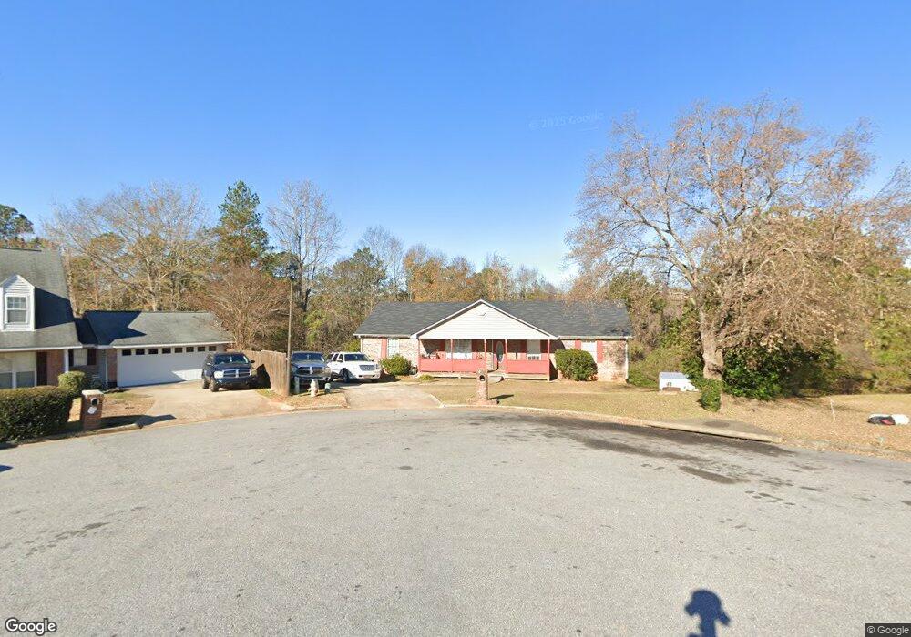
979 Sistrunk Ct Columbus, GA 31907
Estimated Value: $220,000 - $226,000
4
Beds
3
Baths
1,800
Sq Ft
$124/Sq Ft
Est. Value
About This Home
This home is located at 979 Sistrunk Ct, Columbus, GA 31907 and is currently estimated at $222,570, approximately $123 per square foot. 979 Sistrunk Ct is a home located in Muscogee County with nearby schools including Dawson Elementary School, East Columbus Magnet Academy, and Spencer High School.
Ownership History
Date
Name
Owned For
Owner Type
Purchase Details
Closed on
Jul 11, 2011
Sold by
Lnv Corp
Bought by
Yancie Calvin and Devorse Malissa
Current Estimated Value
Home Financials for this Owner
Home Financials are based on the most recent Mortgage that was taken out on this home.
Original Mortgage
$96,392
Outstanding Balance
$67,298
Interest Rate
4.75%
Mortgage Type
FHA
Estimated Equity
$150,368
Purchase Details
Closed on
Mar 2, 2010
Sold by
Mullin Leon and Mullin Lydia
Bought by
Lnv Corporation
Create a Home Valuation Report for This Property
The Home Valuation Report is an in-depth analysis detailing your home's value as well as a comparison with similar homes in the area
Home Values in the Area
Average Home Value in this Area
Purchase History
| Date | Buyer | Sale Price | Title Company |
|---|---|---|---|
| Yancie Calvin | $98,900 | -- | |
| Lnv Corporation | $120,336 | None Available |
Source: Public Records
Mortgage History
| Date | Status | Borrower | Loan Amount |
|---|---|---|---|
| Open | Yancie Calvin | $96,392 |
Source: Public Records
Tax History Compared to Growth
Tax History
| Year | Tax Paid | Tax Assessment Tax Assessment Total Assessment is a certain percentage of the fair market value that is determined by local assessors to be the total taxable value of land and additions on the property. | Land | Improvement |
|---|---|---|---|---|
| 2025 | $3,053 | $77,984 | $14,984 | $63,000 |
| 2024 | $3,053 | $77,984 | $14,984 | $63,000 |
| 2023 | $3,072 | $77,984 | $14,984 | $63,000 |
| 2022 | $2,256 | $55,264 | $14,984 | $40,280 |
| 2021 | $2,192 | $53,688 | $14,984 | $38,704 |
| 2020 | $2,302 | $56,356 | $14,984 | $41,372 |
| 2019 | $2,309 | $56,356 | $14,984 | $41,372 |
| 2018 | $2,309 | $56,356 | $14,984 | $41,372 |
| 2017 | $2,316 | $56,356 | $14,984 | $41,372 |
| 2016 | $2,314 | $56,098 | $7,767 | $48,331 |
| 2015 | $2,317 | $56,098 | $7,767 | $48,331 |
| 2014 | $2,320 | $56,098 | $7,767 | $48,331 |
| 2013 | -- | $56,098 | $7,767 | $48,331 |
Source: Public Records
Map
Nearby Homes
- 5219 Argonne Dr
- 906 Bunker Hill Rd
- 4939 Aaron Dr
- 849 Bunker Hill Rd
- 811 Pheasant Loop
- 5328 Gettysburg Way
- 4718 Velpoe Dr
- 5336 Gettysburg Way
- 5294 Bunker Hill Ct
- 1513 Alamo Dr
- 1521 Alamo Dr
- 780 Honey Do Ct
- 4462 Walking Stick Way
- 1425 Staunton Dr
- 4965 Brightstar Ln
- 4408 Walking Stick Way
- 738 Honey Do Ct
- 4581 Dawn Ct
- 1340 Bunker Ridge Ln
- 1509 Bowie Ave
- 970 Sistrunk Ct
- 989 Sistrunk Ct
- 974 Sistrunk Ct
- 978 Sistrunk Ct
- 999 Sistrunk Ct
- 982 Sistrunk Ct
- 4980 Aaron Dr
- 986 Sistrunk Ct
- 990 Sistrunk Ct
- 4976 Aaron Dr
- 994 Sistrunk Ct
- 4990 Aaron Dr
- 4972 Aaron Dr
- 1121 Antietam Ct
- 4987 Aaron Dr
- 4994 Aaron Dr
- 1025 Bunker Hill Rd
- 4981 Aaron Dr
- 4991 Aaron Dr
- 1117 Antietam Ct