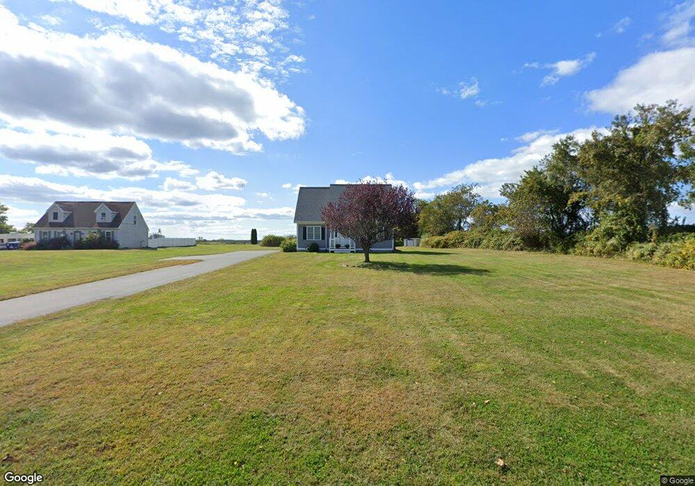
979 Sodom Rd Westport, MA 02790
Adamsville NeighborhoodEstimated Value: $556,000 - $740,000
3
Beds
4
Baths
1,834
Sq Ft
$357/Sq Ft
Est. Value
About This Home
This home is located at 979 Sodom Rd, Westport, MA 02790 and is currently estimated at $655,205, approximately $357 per square foot. 979 Sodom Rd is a home located in Bristol County with nearby schools including Alice A. Macomber Primary School, Westport Elementary School, and Westport Middle-High School.
Create a Home Valuation Report for This Property
The Home Valuation Report is an in-depth analysis detailing your home's value as well as a comparison with similar homes in the area
Home Values in the Area
Average Home Value in this Area
Tax History Compared to Growth
Tax History
| Year | Tax Paid | Tax Assessment Tax Assessment Total Assessment is a certain percentage of the fair market value that is determined by local assessors to be the total taxable value of land and additions on the property. | Land | Improvement |
|---|---|---|---|---|
| 2025 | $3,337 | $447,900 | $179,400 | $268,500 |
| 2024 | $3,316 | $429,000 | $166,200 | $262,800 |
| 2023 | $3,320 | $406,900 | $151,500 | $255,400 |
| 2022 | $3,091 | $364,500 | $151,500 | $213,000 |
| 2021 | $3,023 | $350,700 | $137,700 | $213,000 |
| 2020 | $2,859 | $339,200 | $126,200 | $213,000 |
| 2019 | $2,721 | $329,000 | $126,200 | $202,800 |
| 2018 | $2,534 | $310,200 | $125,200 | $185,000 |
| 2017 | $2,507 | $314,500 | $125,200 | $189,300 |
| 2016 | $2,425 | $306,600 | $125,200 | $181,400 |
| 2015 | $2,322 | $292,800 | $125,200 | $167,600 |
Source: Public Records
Map
Nearby Homes
- 101 Adamsville Rd
- 15 Village Way
- 8 Village Way
- 7 Village Way
- 837 Main Road & Lot 2
- 837 Main Rd
- 978 Sodom Rd
- 8 Strawberry Ln
- 920 Drift Rd
- 17 Quail Trail
- 225 Hixbridge Rd
- 184 Field Stone Ln
- 1346 Main Rd Unit B
- 118 Charlotte White Rd
- 118 Charlotte White Rd Extension
- 0 Hidden Glen Ln
- 0 S Lake Rd Unit 73361665
- 0 S Lake Rd Unit 1382842
- 0 S Lake Rd Unit 1400795
- 116 Amy Hart Path