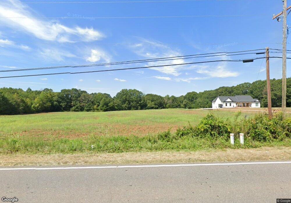
979 Startown Rd Lincolnton, NC 28092
Estimated Value: $283,000 - $2,548,109
3
Beds
2
Baths
1,216
Sq Ft
$1,164/Sq Ft
Est. Value
About This Home
This home is located at 979 Startown Rd, Lincolnton, NC 28092 and is currently estimated at $1,415,555, approximately $1,164 per square foot. 979 Startown Rd is a home located in Lincoln County with nearby schools including Norris S. Childers Elementary School, Lincolnton Middle School, and Lincolnton High School.
Ownership History
Date
Name
Owned For
Owner Type
Purchase Details
Closed on
Apr 21, 2021
Sold by
Beatty Charles A
Bought by
Beatty Charles A and Beatty Angela R
Current Estimated Value
Purchase Details
Closed on
Jan 4, 2021
Sold by
Beatty Charles A and Beatty Angela R
Bought by
Beatty Charles A and Beatty Angela R
Home Financials for this Owner
Home Financials are based on the most recent Mortgage that was taken out on this home.
Original Mortgage
$300,000
Outstanding Balance
$219,304
Interest Rate
2.7%
Mortgage Type
New Conventional
Estimated Equity
$1,196,251
Purchase Details
Closed on
Sep 26, 2012
Sold by
Finger Helen F and Finger James Thomas
Bought by
Beatty Charles A
Purchase Details
Closed on
Jan 31, 2005
Sold by
Finger Martin Luither and Jonas Harvey A
Bought by
Finger Helen F
Create a Home Valuation Report for This Property
The Home Valuation Report is an in-depth analysis detailing your home's value as well as a comparison with similar homes in the area
Home Values in the Area
Average Home Value in this Area
Purchase History
| Date | Buyer | Sale Price | Title Company |
|---|---|---|---|
| Beatty Charles A | -- | None Available | |
| Beatty Charles A | -- | None Available | |
| Beatty Charles A | $550,000 | None Available | |
| Finger Helen F | -- | None Available |
Source: Public Records
Mortgage History
| Date | Status | Borrower | Loan Amount |
|---|---|---|---|
| Open | Beatty Charles A | $300,000 |
Source: Public Records
Tax History Compared to Growth
Tax History
| Year | Tax Paid | Tax Assessment Tax Assessment Total Assessment is a certain percentage of the fair market value that is determined by local assessors to be the total taxable value of land and additions on the property. | Land | Improvement |
|---|---|---|---|---|
| 2025 | $7,121 | $1,561,712 | $535,905 | $1,025,807 |
| 2024 | $7,081 | $1,561,712 | $535,905 | $1,025,807 |
| 2023 | $6,901 | $1,561,712 | $535,905 | $1,025,807 |
| 2022 | $5,363 | $994,451 | $365,270 | $629,181 |
| 2021 | $5,146 | $986,229 | $364,438 | $621,791 |
| 2020 | $4,941 | $621,791 | $0 | $621,791 |
| 2019 | $4,808 | $1,026,641 | $404,850 | $621,791 |
| 2018 | $4,418 | $949,539 | $404,252 | $545,287 |
| 2017 | $3,036 | $781,978 | $404,252 | $377,726 |
| 2016 | $1,374 | $0 | $0 | $144,455 |
| 2015 | $1,515 | $546,815 | $389,545 | $157,270 |
| 2014 | $1,371 | $536,740 | $400,607 | $136,133 |
Source: Public Records
Map
Nearby Homes
- 801 N Grove St
- 502 Forney Ave
- 000 Better Brook Ln
- #168 Rolling Rd
- 316 N Government St
- 611 W Main Street Extension
- 1231 Better Brook Ln
- 411 W Sycamore St
- 536 Lincolnview Rd
- 826 E Alexander St
- 627 W Main St
- 4100 Summey Trail
- 0 Hillard Ln
- 2350, 1912 N Aspen St
- 1712 Cline Farm Rd
- 668 Riverside Dr
- 317 S High St
- 1338 Pell Dr
- 519 N State St
- 1939 River Rd
- 1005 Startown Rd
- 956 Startown Rd
- 1024 Startown Rd
- 935 Startown Rd
- 1054 Startown Rd
- 632 Andrews Dr
- 888 Wiltshire Ln
- 886 Startown Rd
- 1070 Startown Rd
- 1072 Startown Rd
- 660 Andrews Dr
- 1076 Startown Rd
- 1078 Startown Rd
- 1082 Startown Rd
- 1085 Startown Rd
- 1084 Startown Rd
- 669 Andrews Dr
- 1098 Startown Rd
- 1088 Startown Rd
- 856 Startown Rd