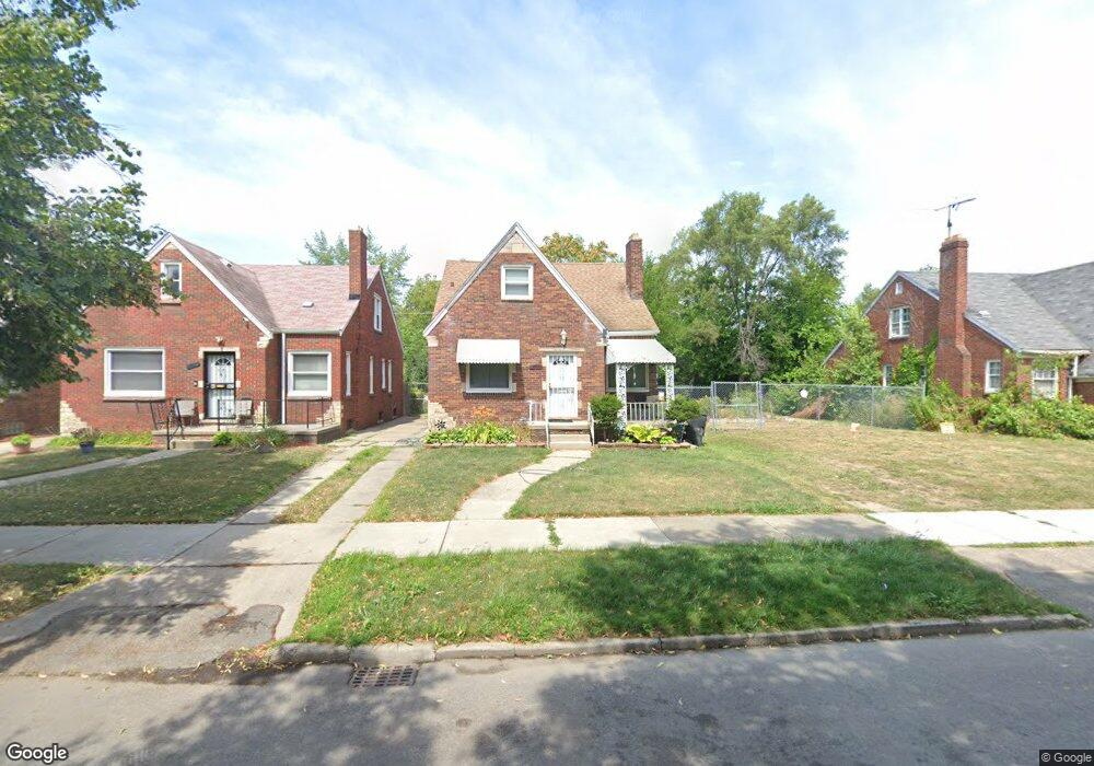
9795 Somerset Ave Detroit, MI 48224
Outer Drive-Hayes NeighborhoodEstimated Value: $77,000 - $94,000
3
Beds
1
Bath
1,441
Sq Ft
$58/Sq Ft
Est. Value
About This Home
This home is located at 9795 Somerset Ave, Detroit, MI 48224 and is currently estimated at $82,980, approximately $57 per square foot. 9795 Somerset Ave is a home located in Wayne County with nearby schools including Wayne Elementary School, Edward 'Duke' Ellington Conservatory of Music and Art, and Charles L. Spain Elementary-Middle School.
Ownership History
Date
Name
Owned For
Owner Type
Purchase Details
Closed on
Feb 26, 2009
Sold by
Secretary Of Housing & Urban Development
Bought by
Kinsey Jacqueline
Current Estimated Value
Purchase Details
Closed on
May 12, 2008
Sold by
Midfirst Bank
Bought by
Hud
Purchase Details
Closed on
Oct 24, 2007
Sold by
Hinton Karen A
Bought by
Midfirst Bank
Create a Home Valuation Report for This Property
The Home Valuation Report is an in-depth analysis detailing your home's value as well as a comparison with similar homes in the area
Home Values in the Area
Average Home Value in this Area
Purchase History
| Date | Buyer | Sale Price | Title Company |
|---|---|---|---|
| Kinsey Jacqueline | $5,200 | None Available | |
| Hud | -- | None Available | |
| Midfirst Bank | $35,115 | None Available |
Source: Public Records
Tax History Compared to Growth
Tax History
| Year | Tax Paid | Tax Assessment Tax Assessment Total Assessment is a certain percentage of the fair market value that is determined by local assessors to be the total taxable value of land and additions on the property. | Land | Improvement |
|---|---|---|---|---|
| 2025 | $1,194 | $34,800 | $0 | $0 |
| 2024 | $1,194 | $29,200 | $0 | $0 |
| 2023 | $1,159 | $23,300 | $0 | $0 |
| 2022 | $1,234 | $19,700 | $0 | $0 |
| 2021 | $1,201 | $16,200 | $0 | $0 |
| 2020 | $1,200 | $15,400 | $0 | $0 |
| 2019 | $1,183 | $13,000 | $0 | $0 |
| 2018 | $1,041 | $11,300 | $0 | $0 |
| 2017 | $193 | $10,500 | $0 | $0 |
| 2016 | $1,139 | $15,800 | $0 | $0 |
| 2015 | $1,190 | $11,900 | $0 | $0 |
| 2013 | $2,189 | $21,888 | $0 | $0 |
| 2010 | -- | $32,091 | $1,169 | $30,922 |
Source: Public Records
Map
Nearby Homes
- 9910 Somerset Ave
- 9803 Nottingham Rd
- 9205 Mckinney St
- 9833 Berkshire St
- 9899 Balfour Rd
- 9300 Mckinney St
- 9316 Mckinney St
- 15837 Evanston St
- 10336 Roxbury St
- 10366 Roxbury St
- 9437 Beaconsfield St
- 10303 Roxbury St
- 15925 Evanston St
- 10043 Berkshire St
- 10345 Greensboro St
- 10420 Lakepointe St
- 10346 Lakepointe St
- 9265 Bedford St
- 10326 Beaconsfield St
- 10029 Balfour Rd
- 9781 Somerset Ave
- 9888 Nottingham Rd
- 9894 Nottingham Rd
- 9880 Nottingham Rd
- 9789 Somerset Ave
- 9900 Nottingham Rd
- 9874 Nottingham Rd
- 9803 Somerset Ave
- 9775 Somerset Ave
- 9910 Nottingham Rd
- 9868 Nottingham Rd
- 9811 Somerset Ave
- 9769 Somerset Ave
- 9916 Nottingham Rd
- 9817 Somerset Ave
- 9860 Nottingham Rd
- 9761 Somerset Ave
- 9889 Nottingham Rd
- 9852 Nottingham Rd
- 9903 Nottingham Rd