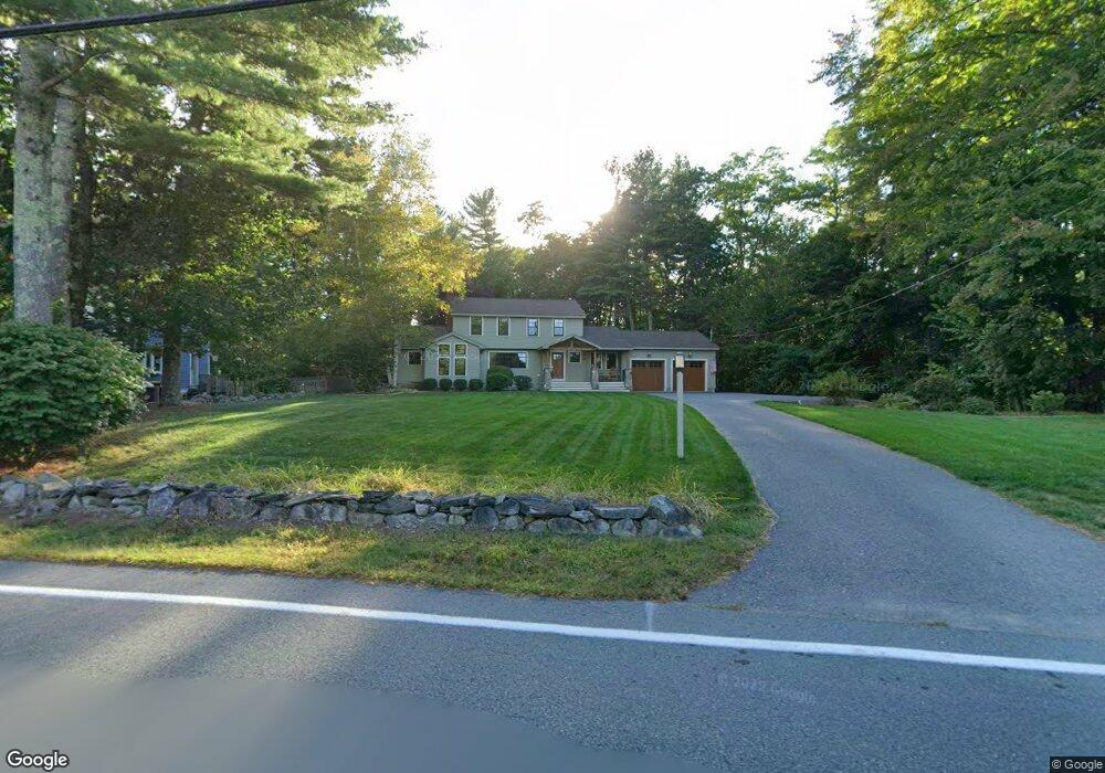
98 Dunstable Rd Westford, MA 01886
Estimated Value: $860,867 - $1,062,000
3
Beds
3
Baths
2,248
Sq Ft
$414/Sq Ft
Est. Value
About This Home
This home is located at 98 Dunstable Rd, Westford, MA 01886 and is currently estimated at $930,967, approximately $414 per square foot. 98 Dunstable Rd is a home located in Middlesex County with nearby schools including Rita E. Miller Elementary School, Day Elementary School, and Stony Brook School.
Ownership History
Date
Name
Owned For
Owner Type
Purchase Details
Closed on
Jul 29, 1987
Sold by
Zaher Nicholas P
Bought by
Bell Douglas
Current Estimated Value
Create a Home Valuation Report for This Property
The Home Valuation Report is an in-depth analysis detailing your home's value as well as a comparison with similar homes in the area
Home Values in the Area
Average Home Value in this Area
Purchase History
| Date | Buyer | Sale Price | Title Company |
|---|---|---|---|
| Bell Douglas | $187,800 | -- |
Source: Public Records
Mortgage History
| Date | Status | Borrower | Loan Amount |
|---|---|---|---|
| Open | Bell Douglas | $150,000 | |
| Closed | Bell Douglas | $135,000 | |
| Closed | Bell Douglas | $49,000 |
Source: Public Records
Tax History Compared to Growth
Tax History
| Year | Tax Paid | Tax Assessment Tax Assessment Total Assessment is a certain percentage of the fair market value that is determined by local assessors to be the total taxable value of land and additions on the property. | Land | Improvement |
|---|---|---|---|---|
| 2025 | $10,098 | $733,300 | $276,700 | $456,600 |
| 2024 | $10,098 | $733,300 | $276,700 | $456,600 |
| 2023 | $9,938 | $673,300 | $263,600 | $409,700 |
| 2022 | $9,380 | $581,900 | $204,500 | $377,400 |
| 2021 | $7,974 | $479,200 | $204,500 | $274,700 |
| 2020 | $7,296 | $446,800 | $204,500 | $242,300 |
| 2019 | $6,940 | $419,100 | $196,000 | $223,100 |
| 2018 | $6,644 | $410,600 | $187,500 | $223,100 |
| 2017 | $6,475 | $394,600 | $187,500 | $207,100 |
| 2016 | $6,463 | $396,500 | $187,500 | $209,000 |
| 2015 | $6,468 | $398,300 | $187,500 | $210,800 |
| 2014 | $6,155 | $370,800 | $180,100 | $190,700 |
Source: Public Records
Map
Nearby Homes
- 1 Summer Village Rd
- 16 Saint Paul Ln Unit Lot 20
- 11 Big Rock Trail
- 35 Keyes Rd
- 2 Courtview Ln Unit 2
- 8 Hammock Dr Unit 8
- 9 Whispering Pines Rd Unit 9
- 239 Groton Rd
- 1 Appian Way
- 3 Colonel Rolls Dr
- 18 B Pilgrim Dr Unit 24
- 6 Ingalls Rd
- 2 Wendell Place Unit 1
- 16 Shipley Cir
- 4 Lady Constance Way Unit 20
- Copley Plan at Wendell Place
- Williamstown Plan at Wendell Place
- 2 Alder Point Unit 2
- 18 Ingalls Rd
- 6 Lady Constance Way
- 96 1/2 Dunstable Rd
- 96 Dunstable Rd
- 100 Dunstable Rd
- 101 Dunstable Rd
- 99 Dunstable Rd
- 94 Dunstable Rd
- 105 Dunstable Rd
- 105 Dunstable Rd Unit 1
- 107 Dunstable Rd
- 90 Dunstable Rd
- 111 Dunstable Rd
- 113 Dunstable Rd
- 88 Dunstable Rd
- 91 Dunstable Rd
- 91 Dunstable Rd
- 91 Dunstable Rd Unit 1
- 91 Dunstable Rd
- 97 Dunstable Rd
- 95 Dunstable Rd
- 87 Dunstable Rd