98 Gulls Way Brewster, MA 02631
Estimated Value: $1,286,814
5
Beds
3
Baths
2,826
Sq Ft
$455/Sq Ft
Est. Value
About This Home
This home is located at 98 Gulls Way, Brewster, MA 02631 and is currently estimated at $1,286,814, approximately $455 per square foot. 98 Gulls Way is a home located in Barnstable County with nearby schools including Stony Brook Elementary School, Eddy Elementary School, and Nauset Regional Middle School.
Ownership History
Date
Name
Owned For
Owner Type
Purchase Details
Closed on
Mar 22, 2005
Sold by
Leighton Barry and Leighton Michele
Bought by
Leighton Ann and Leighton Michael W
Current Estimated Value
Home Financials for this Owner
Home Financials are based on the most recent Mortgage that was taken out on this home.
Original Mortgage
$260,000
Outstanding Balance
$126,742
Interest Rate
5.64%
Mortgage Type
Purchase Money Mortgage
Estimated Equity
$1,160,072
Create a Home Valuation Report for This Property
The Home Valuation Report is an in-depth analysis detailing your home's value as well as a comparison with similar homes in the area
Home Values in the Area
Average Home Value in this Area
Purchase History
| Date | Buyer | Sale Price | Title Company |
|---|---|---|---|
| Leighton Ann | $325,000 | -- |
Source: Public Records
Mortgage History
| Date | Status | Borrower | Loan Amount |
|---|---|---|---|
| Open | Leighton Ann | $260,000 |
Source: Public Records
Tax History
| Year | Tax Paid | Tax Assessment Tax Assessment Total Assessment is a certain percentage of the fair market value that is determined by local assessors to be the total taxable value of land and additions on the property. | Land | Improvement |
|---|---|---|---|---|
| 2025 | $8,651 | $1,257,400 | $886,100 | $371,300 |
| 2024 | $7,954 | $1,168,000 | $836,000 | $332,000 |
| 2023 | $7,153 | $1,023,300 | $746,300 | $277,000 |
| 2022 | $6,707 | $854,400 | $621,800 | $232,600 |
| 2021 | $6,381 | $743,700 | $540,500 | $203,200 |
| 2020 | $6,331 | $734,400 | $540,500 | $193,900 |
| 2019 | $5,770 | $672,500 | $482,800 | $189,700 |
| 2018 | $5,187 | $628,000 | $445,600 | $182,400 |
| 2017 | $4,844 | $577,300 | $415,900 | $161,400 |
| 2016 | $4,773 | $566,200 | $407,800 | $158,400 |
| 2015 | $4,597 | $556,500 | $399,700 | $156,800 |
Source: Public Records
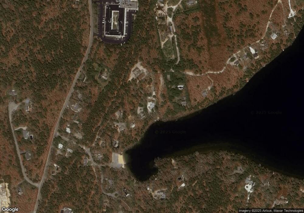
Map
Nearby Homes
- 46 Trout Pond Ln
- 31 Hazel Ln
- 279 Alden Dr
- 309 Great Fields Rd
- 39 Spruce Run Dr
- 958 Long Pond Rd
- 340 Greenland Pond Rd
- 14 2nd St
- 36 Lakewood Dr
- 35 Leona Terrace
- 58 Old Chatham Rd
- 1580 Main St
- 193 Yankee Dr
- 210 Billington Ln Unit 210
- 231 Yankee Dr
- 61 Sheffield Rd
- 337 Jonathans Way
- 157 Jonathans Way
- 88 Woodview Dr Unit H-88
- 88 Woodview Dr Unit 88-H
Your Personal Tour Guide
Ask me questions while you tour the home.