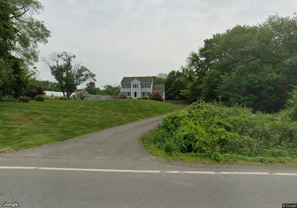
98 High Range Rd Londonderry, NH 03053
Estimated Value: $731,639 - $859,000
3
Beds
3
Baths
2,288
Sq Ft
$335/Sq Ft
Est. Value
About This Home
This home is located at 98 High Range Rd, Londonderry, NH 03053 and is currently estimated at $765,660, approximately $334 per square foot. 98 High Range Rd is a home with nearby schools including Matthew Thornton Elementary School, Londonderry Middle School, and Londonderry Senior High School.
Ownership History
Date
Name
Owned For
Owner Type
Purchase Details
Closed on
Oct 22, 1999
Sold by
Tyler Rd Dev Corp
Bought by
Deangelis Mark and Deangelis Jolene M
Current Estimated Value
Home Financials for this Owner
Home Financials are based on the most recent Mortgage that was taken out on this home.
Original Mortgage
$203,796
Interest Rate
7.83%
Create a Home Valuation Report for This Property
The Home Valuation Report is an in-depth analysis detailing your home's value as well as a comparison with similar homes in the area
Home Values in the Area
Average Home Value in this Area
Purchase History
| Date | Buyer | Sale Price | Title Company |
|---|---|---|---|
| Deangelis Mark | $203,900 | -- |
Source: Public Records
Mortgage History
| Date | Status | Borrower | Loan Amount |
|---|---|---|---|
| Open | Deangelis Mark | $269,841 | |
| Closed | Deangelis Mark | $203,796 |
Source: Public Records
Tax History
| Year | Tax Paid | Tax Assessment Tax Assessment Total Assessment is a certain percentage of the fair market value that is determined by local assessors to be the total taxable value of land and additions on the property. | Land | Improvement |
|---|---|---|---|---|
| 2025 | $9,647 | $597,700 | $204,400 | $393,300 |
| 2024 | $9,647 | $597,700 | $204,400 | $393,300 |
| 2023 | $9,354 | $597,700 | $204,400 | $393,300 |
| 2022 | $8,735 | $472,700 | $153,400 | $319,300 |
| 2021 | $8,688 | $472,700 | $153,400 | $319,300 |
| 2020 | $8,585 | $426,900 | $123,400 | $303,500 |
| 2019 | $8,278 | $426,900 | $123,400 | $303,500 |
| 2018 | $7,719 | $354,100 | $102,500 | $251,600 |
| 2017 | $7,652 | $354,100 | $102,500 | $251,600 |
| 2016 | $7,613 | $354,100 | $102,500 | $251,600 |
| 2015 | $7,443 | $354,100 | $102,500 | $251,600 |
| 2014 | $7,468 | $354,100 | $102,500 | $251,600 |
| 2011 | -- | $354,600 | $102,500 | $252,100 |
Source: Public Records
Map
Nearby Homes
- 90 High Range Rd
- 8 Wiley Hill Rd
- 5 Delphi Way
- 7 Delphi Way
- 11 Elise Ave Unit Lot 91
- 17 Lily Ln
- 19 Lily Ln
- 62 Elwood Rd
- 137 Winterwood Dr
- 11 Winding Pond Rd
- 5 Rainbow Dr
- 145 Canterbury Ln
- 20 Lincoln Dr
- 34 Lincoln Dr
- 12 Morway Dr
- 4 Sunset Dr Unit A
- 4 Windsor Blvd
- 128 Sandstone Cir
- 4 Heron Dr
- 169 Fieldstone Dr
- 100 High Range Rd
- 109 High Range Rd
- 213 Pillsbury Rd
- 113 High Range Rd
- 211 Pillsbury Rd
- 2 Carousel Ct
- 103 High Range Rd
- 208 Pillsbury Rd
- 209 Pillsbury Rd
- 117 High Range Rd
- 101 High Range Rd
- 4 Carousel Ct
- 1 Carousel Ct
- 207 Pillsbury Rd
- 99 High Range Rd
- 6 Carousel Ct
- 106 High Range Rd
- 204 Pillsbury Rd
- 205 Pillsbury Rd
- 3 Carousel Ct
Your Personal Tour Guide
Ask me questions while you tour the home.