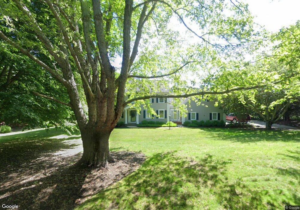
98 Kettle Hole Rd West Barnstable, MA 02668
West Barnstable NeighborhoodEstimated Value: $1,058,000 - $1,192,000
3
Beds
3
Baths
3,200
Sq Ft
$350/Sq Ft
Est. Value
About This Home
This home is located at 98 Kettle Hole Rd, West Barnstable, MA 02668 and is currently estimated at $1,121,168, approximately $350 per square foot. 98 Kettle Hole Rd is a home located in Barnstable County with nearby schools including West Barnstable Elementary School, Barnstable United Elementary School, and Barnstable Intermediate School.
Ownership History
Date
Name
Owned For
Owner Type
Purchase Details
Closed on
Sep 14, 2021
Sold by
Hagberg Clifford
Bought by
Hagberg Ft
Current Estimated Value
Purchase Details
Closed on
Apr 7, 2021
Sold by
Lloyd Louise G
Bought by
Hagberg Clifford
Purchase Details
Closed on
Dec 21, 2010
Sold by
Hagberg Clifford and Lloyd Louise Geneviev
Bought by
Hagberg Clifford
Purchase Details
Closed on
Feb 11, 2010
Sold by
Zeghibe Kenneth F and Zeghibe Margaret L
Bought by
Hagberg Clifford
Home Financials for this Owner
Home Financials are based on the most recent Mortgage that was taken out on this home.
Original Mortgage
$424,297
Interest Rate
5.12%
Mortgage Type
Purchase Money Mortgage
Create a Home Valuation Report for This Property
The Home Valuation Report is an in-depth analysis detailing your home's value as well as a comparison with similar homes in the area
Home Values in the Area
Average Home Value in this Area
Purchase History
| Date | Buyer | Sale Price | Title Company |
|---|---|---|---|
| Hagberg Ft | -- | None Available | |
| Hagberg Clifford | -- | None Available | |
| Hagberg Clifford | -- | -- | |
| Hagberg Clifford | $533,750 | -- |
Source: Public Records
Mortgage History
| Date | Status | Borrower | Loan Amount |
|---|---|---|---|
| Previous Owner | Hagberg Clifford | $424,297 |
Source: Public Records
Tax History Compared to Growth
Tax History
| Year | Tax Paid | Tax Assessment Tax Assessment Total Assessment is a certain percentage of the fair market value that is determined by local assessors to be the total taxable value of land and additions on the property. | Land | Improvement |
|---|---|---|---|---|
| 2025 | $9,025 | $966,300 | $215,400 | $750,900 |
| 2024 | $8,070 | $940,600 | $215,400 | $725,200 |
| 2023 | $7,764 | $852,300 | $214,100 | $638,200 |
| 2022 | $7,849 | $706,500 | $155,700 | $550,800 |
| 2021 | $7,878 | $672,200 | $155,700 | $516,500 |
| 2020 | $7,238 | $597,200 | $159,200 | $438,000 |
| 2019 | $7,399 | $602,500 | $159,200 | $443,300 |
| 2018 | $7,165 | $578,300 | $174,600 | $403,700 |
| 2017 | $7,020 | $573,500 | $174,600 | $398,900 |
| 2016 | $6,237 | $520,200 | $174,200 | $346,000 |
| 2015 | $6,097 | $509,800 | $167,100 | $342,700 |
Source: Public Records
Map
Nearby Homes
- 82 Kettle Hole Rd
- 114 Kettle Hole Rd
- 97 Kettle Hole Rd
- 85 Sheep Meadow Rd
- 113 Kettle Hole Rd
- 81 Kettle Hole Rd
- 66 Kettle Hole Rd
- 132 Kettle Hole Rd
- 100 Sheep Meadow Rd
- 131 Kettle Hole Rd
- 65 Kettle Hole Rd
- 71 Sheep Meadow Rd
- 148 Kettle Hole Rd
- 52 Kettle Hole Rd
- 82 Sheep Meadow Rd
- 145 Kettle Hole Rd
- 53 Kettle Hole Rd
- 49 Sheep Meadow Rd
- 9 Sheep Meadow Rd
- 66 Sheep Meadow Rd