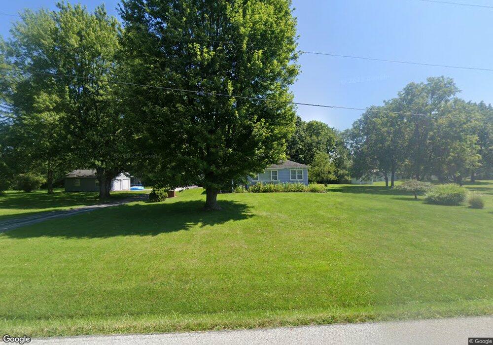
98 Mitchell Rd Wilmington, OH 45177
Estimated Value: $197,332 - $292,000
3
Beds
1
Bath
1,233
Sq Ft
$206/Sq Ft
Est. Value
About This Home
This home is located at 98 Mitchell Rd, Wilmington, OH 45177 and is currently estimated at $254,333, approximately $206 per square foot. 98 Mitchell Rd is a home located in Clinton County with nearby schools including East End Elementary School, Roy E. Holmes Elementary School, and Denver Place Elementary School.
Ownership History
Date
Name
Owned For
Owner Type
Purchase Details
Closed on
Jun 1, 1999
Sold by
Trst Doris M Walker
Bought by
Reinsmith Virgill L and Reinsmith Charlotte R
Current Estimated Value
Home Financials for this Owner
Home Financials are based on the most recent Mortgage that was taken out on this home.
Original Mortgage
$99,000
Outstanding Balance
$25,830
Interest Rate
6.92%
Mortgage Type
New Conventional
Estimated Equity
$228,503
Purchase Details
Closed on
Jan 25, 1995
Bought by
Walker John H and Doris Mae
Create a Home Valuation Report for This Property
The Home Valuation Report is an in-depth analysis detailing your home's value as well as a comparison with similar homes in the area
Purchase History
| Date | Buyer | Sale Price | Title Company |
|---|---|---|---|
| Reinsmith Virgill L | $110,000 | -- | |
| Walker John H | -- | -- |
Source: Public Records
Mortgage History
| Date | Status | Borrower | Loan Amount |
|---|---|---|---|
| Open | Reinsmith Virgill L | $99,000 |
Source: Public Records
Tax History
| Year | Tax Paid | Tax Assessment Tax Assessment Total Assessment is a certain percentage of the fair market value that is determined by local assessors to be the total taxable value of land and additions on the property. | Land | Improvement |
|---|---|---|---|---|
| 2024 | $1,719 | $55,160 | $8,750 | $46,410 |
| 2023 | $1,774 | $55,160 | $8,750 | $46,410 |
| 2022 | $1,082 | $31,540 | $6,350 | $25,190 |
| 2021 | $1,095 | $31,540 | $6,350 | $25,190 |
| 2020 | $1,058 | $31,540 | $6,350 | $25,190 |
| 2019 | $985 | $27,030 | $5,990 | $21,040 |
| 2018 | $994 | $27,030 | $5,990 | $21,040 |
| 2017 | $967 | $27,030 | $5,990 | $21,040 |
| 2016 | $1,408 | $39,070 | $7,570 | $31,500 |
| 2015 | $1,405 | $39,000 | $7,570 | $31,430 |
| 2013 | $1,420 | $38,090 | $7,570 | $30,520 |
Source: Public Records
Map
Nearby Homes
- 493 Mitchell Rd
- 1464 Woodside Dr
- 1706 Woodside Dr
- 375 Washington Ave
- 987 N Nelson Ave
- 1985 Ohio 730
- 166 Glenwood Cir
- 207 Richardson Place
- 2746 Ohio 730
- 2746 State Route 730
- 914 Hickory Trail Dr
- 551 Randolph St
- 1181 Blue Spruce Ln
- 1219 Blue Spruce Ln
- 1195 Blue Spruce Ln
- 1243 Blue Spruce Ln
- 462 Randolph St
- 1339 Blue Spruce Ln
- 668 Catalpa Dr
- 21 Hunters Glen Dr
Your Personal Tour Guide
Ask me questions while you tour the home.