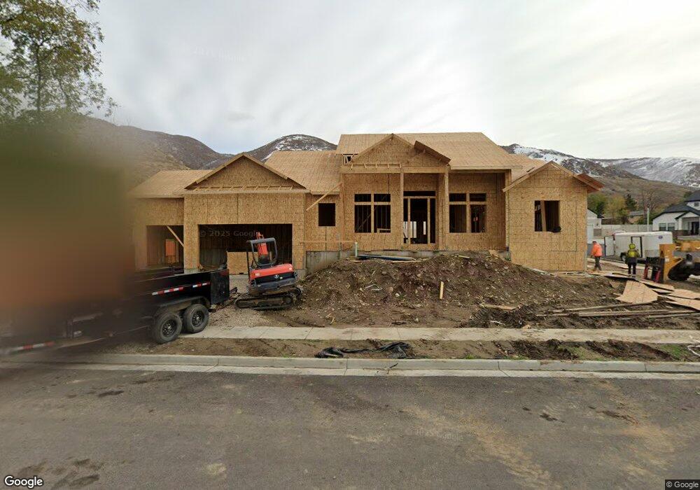
980 N 165 E Unit 10 Centerville, UT 84014
Estimated Value: $790,000 - $1,251,000
--
Bed
3
Baths
2,084
Sq Ft
$461/Sq Ft
Est. Value
About This Home
This home is located at 980 N 165 E Unit 10, Centerville, UT 84014 and is currently estimated at $961,475, approximately $461 per square foot. 980 N 165 E Unit 10 is a home located in Davis County with nearby schools including Centerville Elementary, Centerville Jr High, and Viewmont High School.
Ownership History
Date
Name
Owned For
Owner Type
Purchase Details
Closed on
Feb 1, 2021
Sold by
Barrus Roy L and Barrus Jodi J
Bought by
Bouwhuis Brenn C and Bouwhuis Kimberly L
Current Estimated Value
Home Financials for this Owner
Home Financials are based on the most recent Mortgage that was taken out on this home.
Original Mortgage
$78,000
Outstanding Balance
$69,480
Interest Rate
2.6%
Mortgage Type
Commercial
Estimated Equity
$891,995
Purchase Details
Closed on
Jul 14, 2020
Sold by
Ivory Development Llc
Bought by
South Davis Sewer District
Create a Home Valuation Report for This Property
The Home Valuation Report is an in-depth analysis detailing your home's value as well as a comparison with similar homes in the area
Purchase History
| Date | Buyer | Sale Price | Title Company |
|---|---|---|---|
| Bouwhuis Brenn C | -- | Title Guarantee Law | |
| South Davis Sewer District | -- | None Available |
Source: Public Records
Mortgage History
| Date | Status | Borrower | Loan Amount |
|---|---|---|---|
| Open | Bouwhuis Brenn C | $78,000 |
Source: Public Records
Tax History
| Year | Tax Paid | Tax Assessment Tax Assessment Total Assessment is a certain percentage of the fair market value that is determined by local assessors to be the total taxable value of land and additions on the property. | Land | Improvement |
|---|---|---|---|---|
| 2025 | $5,318 | $508,750 | $153,428 | $355,322 |
| 2024 | $4,952 | $481,800 | $137,489 | $344,311 |
| 2023 | $2,198 | $212,484 | $124,339 | $88,145 |
| 2022 | $2,142 | $207,350 | $207,350 | $0 |
| 2021 | $2,091 | $173,385 | $173,385 | $0 |
| 2020 | $2,047 | $169,715 | $169,715 | $0 |
Source: Public Records
Map
Nearby Homes
- 66 Brookside Ln
- 984 N 500 E
- 775 Pheasantbrook Cir
- 563 N 220 E
- 1366 Cottonwood Dr
- 295 E 500 N
- 271 Brookfield Ln
- 1290 Oakridge Dr
- 292 W 680 N
- 781 Pheasantbrook Dr
- 281 W 650 N Unit B
- 371 W 1125 N
- 282 W 605 N Unit A
- 282 W 605 N Unit I
- 303 W 650 N Unit I
- 380 E 400 N
- 1238 N 450 W
- 290 W 1350 N
- 252 N 400 E
- 493 W 620 N Unit 122
- 975 N Barrus Cove Cir
- 970 N Barrus Cove Cir
- 196 E Chase Ln
- 985 N Barrus Cove Cir
- 230 E Chase Ln
- 242 E Chase Ln
- 920 N Barrus Cove Cir
- 935 N Barrus Cove Cir
- 955 N Barrus Cove Cir
- 915 N Barrus Cove Cir
- 160 E Chase Ln
- 905 N Barrus Cove Cir
- 140 E Chase Ln
- 260 E Chase Ln
- 981 N 100 E
- 205 Briarwood Dr
- 205 E 900 N
- 183 Briarwood Dr
- 215 E Chase Ln
- 974 N 100 E
Your Personal Tour Guide
Ask me questions while you tour the home.