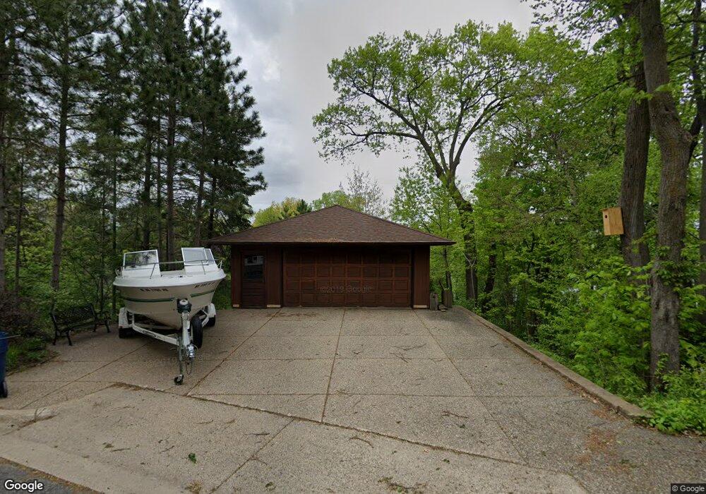
980 Pershing Cir Burnsville, MN 55306
Estimated Value: $864,000 - $1,194,730
4
Beds
3
Baths
3,704
Sq Ft
$286/Sq Ft
Est. Value
About This Home
This home is located at 980 Pershing Cir, Burnsville, MN 55306 and is currently estimated at $1,059,433, approximately $286 per square foot. 980 Pershing Cir is a home located in Dakota County with nearby schools including Oak Hills Elementary School, Kenwood Trail Middle School, and Lakeville North High School.
Ownership History
Date
Name
Owned For
Owner Type
Purchase Details
Closed on
May 6, 2022
Sold by
Menning Janice
Bought by
Sheehan Kenneth and Sheehan Heather
Current Estimated Value
Home Financials for this Owner
Home Financials are based on the most recent Mortgage that was taken out on this home.
Original Mortgage
$350,000
Outstanding Balance
$329,886
Interest Rate
4.42%
Mortgage Type
New Conventional
Estimated Equity
$729,547
Create a Home Valuation Report for This Property
The Home Valuation Report is an in-depth analysis detailing your home's value as well as a comparison with similar homes in the area
Home Values in the Area
Average Home Value in this Area
Purchase History
| Date | Buyer | Sale Price | Title Company |
|---|---|---|---|
| Sheehan Kenneth | $1,100,000 | -- |
Source: Public Records
Mortgage History
| Date | Status | Borrower | Loan Amount |
|---|---|---|---|
| Open | Sheehan Kenneth | $350,000 |
Source: Public Records
Tax History Compared to Growth
Tax History
| Year | Tax Paid | Tax Assessment Tax Assessment Total Assessment is a certain percentage of the fair market value that is determined by local assessors to be the total taxable value of land and additions on the property. | Land | Improvement |
|---|---|---|---|---|
| 2024 | $14,790 | $1,177,800 | $862,100 | $315,700 |
| 2023 | $14,790 | $1,095,000 | $836,200 | $258,800 |
| 2022 | $11,672 | $1,041,300 | $834,100 | $207,200 |
| 2021 | $11,706 | $843,600 | $695,100 | $148,500 |
| 2020 | $11,554 | $831,700 | $662,000 | $169,700 |
| 2019 | $10,270 | $787,200 | $630,500 | $156,700 |
| 2018 | $10,316 | $725,700 | $573,200 | $152,500 |
| 2017 | $9,881 | $721,000 | $573,200 | $147,800 |
| 2016 | $8,565 | $678,200 | $545,900 | $132,300 |
| 2015 | $9,371 | $579,500 | $496,300 | $83,200 |
| 2014 | -- | $656,200 | $583,600 | $72,600 |
| 2013 | -- | $599,300 | $534,500 | $64,800 |
Source: Public Records
Map
Nearby Homes
- 15505 Logarto Ln
- 1010 E 157th St
- 313 Maple Island Rd
- 9925 Upper 161st St W
- 353 Maple Island Rd
- 16125 Crystal Hills Dr
- 230 Maple Island Rd
- 16386 Jaffna Place
- 16193 Jamaica Ave
- 1629 Keller Lake Dr
- 16415 Jaffna Place
- 101 Oak Shore Dr
- 16365 Javari Ct
- 15041 Butternut Ln
- 16344 Jatos Cir
- 16551 Irwinton Cir
- 16363 Jamison Path
- 16557 Iredale Ct
- 15964 Hyland Dr
- 15250 Stevens Ave
- XXXXX Pershing Cir
- XX Pershing Cir
- XXXX Pershing Cir
- 990 Pershing Cir
- 950 Pershing Cir
- 1060 Bluebill Bay Rd
- 930 Pershing Cir
- 951 Bluebill Bay Rd
- 931 Bluebill Bay Rd
- 1080 Bluebill Bay Rd
- 920 Pershing Cir
- 901 Bluebill Bay Rd
- 900 Pershing Cir
- 15501 Logarto Ln
- 1120 Bluebill Bay Rd
- 15504 Logarto Ln
- 871 Bluebill Bay Rd
- 890 Bluebill Bay Rd
- 1021 Bluebill Bay Rd
- 1130 Bluebill Bay Rd