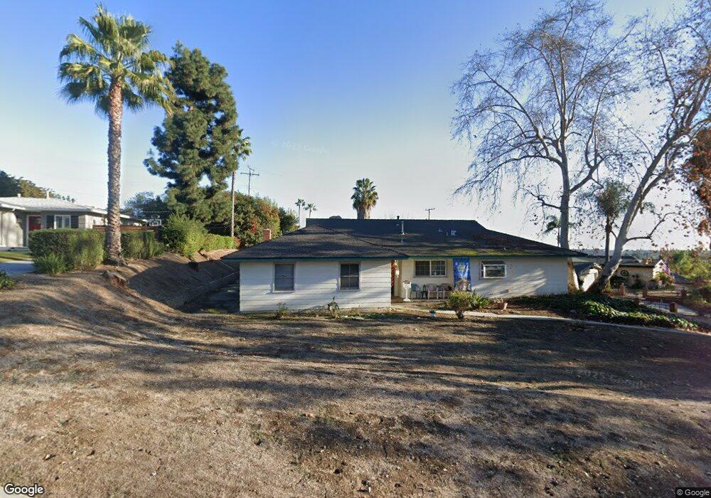
9800 Bogardus Ave Whittier, CA 90603
South Whittier NeighborhoodEstimated Value: $978,816 - $1,190,000
3
Beds
2
Baths
1,902
Sq Ft
$583/Sq Ft
Est. Value
About This Home
This home is located at 9800 Bogardus Ave, Whittier, CA 90603 and is currently estimated at $1,107,954, approximately $582 per square foot. 9800 Bogardus Ave is a home located in Los Angeles County with nearby schools including Murphy Ranch Elementary School, Granada Middle School, and La Serna High School.
Ownership History
Date
Name
Owned For
Owner Type
Purchase Details
Closed on
Jan 10, 2014
Sold by
Martin Leland Eugene and Martin Katherine Elizabeth
Bought by
The Martin Family Trust
Current Estimated Value
Home Financials for this Owner
Home Financials are based on the most recent Mortgage that was taken out on this home.
Original Mortgage
$166,500
Interest Rate
4.46%
Mortgage Type
New Conventional
Purchase Details
Closed on
Oct 23, 2008
Sold by
Martin Leland Eugene and Martin Katherine Elizabeth
Bought by
Martin Leland Eugene and Martin Katherine Elizabeth
Create a Home Valuation Report for This Property
The Home Valuation Report is an in-depth analysis detailing your home's value as well as a comparison with similar homes in the area
Home Values in the Area
Average Home Value in this Area
Purchase History
We collect this data history from publicly available records. To have your information removed, we recommend requesting removal directly through your county’s website.
| Date | Buyer | Sale Price | Title Company |
|---|---|---|---|
| The Martin Family Trust | -- | Timios Title | |
| Martin Eugene | -- | Timios Title | |
| Martin Leland Eugene | -- | None Available |
Source: Public Records
Mortgage History
We collect this data history from publicly available records. To have your information removed, we recommend requesting removal directly through your county’s website.
| Date | Status | Borrower | Loan Amount |
|---|---|---|---|
| Closed | Martin Eugene | $166,500 |
Source: Public Records
Tax History
| Year | Tax Paid | Tax Assessment Tax Assessment Total Assessment is a certain percentage of the fair market value that is determined by local assessors to be the total taxable value of land and additions on the property. | Land | Improvement |
|---|---|---|---|---|
| 2025 | $2,385 | $142,037 | $42,617 | $99,420 |
| 2024 | $2,186 | $139,253 | $41,782 | $97,471 |
| 2023 | $2,238 | $136,523 | $40,963 | $95,560 |
| 2022 | $2,294 | $133,847 | $40,160 | $93,687 |
| 2021 | $2,253 | $131,223 | $39,373 | $91,850 |
| 2019 | $2,055 | $127,333 | $38,206 | $89,127 |
| 2018 | $1,889 | $124,837 | $37,457 | $87,380 |
| 2016 | $1,710 | $119,991 | $36,003 | $83,988 |
| 2015 | $1,839 | $118,190 | $35,463 | $82,727 |
| 2014 | $1,788 | $115,876 | $34,769 | $81,107 |
Source: Public Records
Map
Nearby Homes
- 10122 Groveside Ave
- 1436 La Riata Dr
- 10162 Grovedale Dr
- 1525 Bonnie Jean Ln
- 10418 Bogardus Ave
- 16109 Gables Loop
- 10339 Maybrook Ave
- 1650 Le Flore Dr
- 1320 Roanoke St
- 9626 La Alba Dr
- 16540 Whittier Blvd
- 16540 Whittier Blvd Unit 6
- 16540 Whittier Blvd Unit 2
- 9524 La Serna Dr
- 8930 Lindante Dr
- 16903 Rimwood Dr
- 9440 Friendly Woods Ln
- 16875 Sausalito Dr
- 15373 Ashley Ct
- 8732 Portafino Place
- 9814 Bogardus Ave
- 9809 Cullman Ave
- 9817 Cullman Ave
- 9824 Bogardus Ave
- 9903 Candia Dr
- 9805 Grovedale Dr
- 9902 Candia Dr
- 9801 Bogardus Ave
- 9813 Bogardus Ave
- 9831 Cullman Ave
- 9834 Bogardus Ave
- 9821 Bogardus Ave
- 9903 Cullman Ave
- 9911 Cullman Ave
- 9851 Cullman Ave
- 9907 Candia Dr
- 9828 Grovedale Dr
- 9813 Grovedale Dr
- 9826 Cullman Ave
- 9906 Candia Dr
Your Personal Tour Guide
Ask me questions while you tour the home.