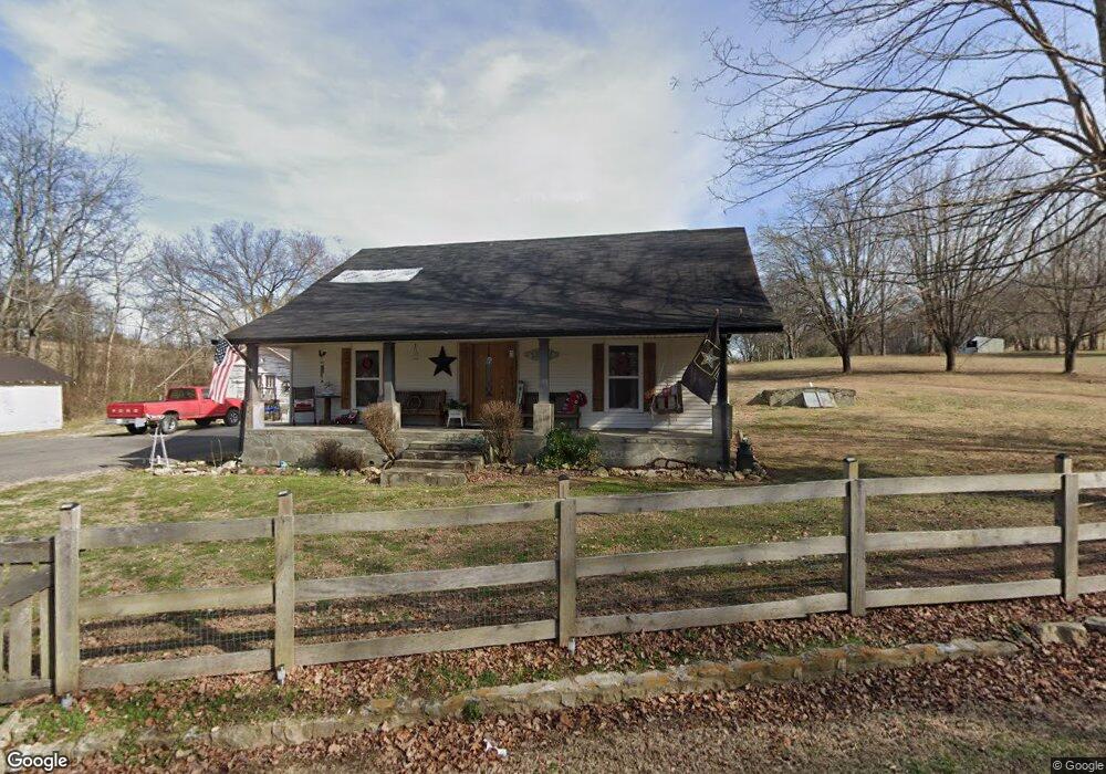
9800 Old Highway 52 Westmoreland, TN 37186
Estimated Value: $218,000 - $458,000
--
Bed
1
Bath
2,512
Sq Ft
$135/Sq Ft
Est. Value
About This Home
This home is located at 9800 Old Highway 52, Westmoreland, TN 37186 and is currently estimated at $338,000, approximately $134 per square foot. 9800 Old Highway 52 is a home located in Macon County.
Ownership History
Date
Name
Owned For
Owner Type
Purchase Details
Closed on
Jan 7, 2015
Sold by
Spivey Wingate B
Bought by
Tuttle Brad
Current Estimated Value
Purchase Details
Closed on
Dec 14, 2009
Bought by
Sullivan Floyd Ray and Sullivan Nancy
Purchase Details
Closed on
Jun 16, 2009
Sold by
Sullivan Nancy
Bought by
Wolfe Scott
Purchase Details
Closed on
Feb 28, 1970
Purchase Details
Closed on
Jan 5, 1966
Bought by
Sullivan Floyd Ray and Sullivan Nancy
Purchase Details
Closed on
Dec 30, 1961
Purchase Details
Closed on
Jul 26, 1958
Create a Home Valuation Report for This Property
The Home Valuation Report is an in-depth analysis detailing your home's value as well as a comparison with similar homes in the area
Home Values in the Area
Average Home Value in this Area
Purchase History
| Date | Buyer | Sale Price | Title Company |
|---|---|---|---|
| Tuttle Brad | $38,750 | -- | |
| Sullivan Floyd Ray | $50,000 | -- | |
| Wolfe Scott | $26,367 | -- | |
| -- | -- | -- | |
| Sullivan Floyd Ray | -- | -- | |
| -- | -- | -- | |
| -- | -- | -- |
Source: Public Records
Tax History Compared to Growth
Tax History
| Year | Tax Paid | Tax Assessment Tax Assessment Total Assessment is a certain percentage of the fair market value that is determined by local assessors to be the total taxable value of land and additions on the property. | Land | Improvement |
|---|---|---|---|---|
| 2024 | $871 | $61,650 | $32,775 | $28,875 |
| 2023 | $871 | $61,650 | $0 | $0 |
| 2022 | $1,063 | $44,275 | $27,250 | $17,025 |
| 2021 | $1,036 | $43,175 | $27,250 | $15,925 |
| 2020 | $1,036 | $43,175 | $27,250 | $15,925 |
| 2019 | $1,036 | $43,175 | $27,250 | $15,925 |
| 2018 | $873 | $39,450 | $27,250 | $12,200 |
| 2017 | $779 | $30,925 | $21,925 | $9,000 |
| 2016 | $335 | $13,975 | $5,000 | $8,975 |
| 2015 | $335 | $13,975 | $5,000 | $8,975 |
| 2014 | $336 | $13,983 | $0 | $0 |
Source: Public Records
Map
Nearby Homes
- 10029 Old Highway 52
- 11076 Highway 52 W
- 234 Haven Way
- 397 Lauren Ln
- 177 Lauren Ln
- 295 Akins Heights Ln
- 393 Leaths Branch Rd
- 670 Howell Rd
- 8141 Old Highway 52
- 0 Highway 52 W Unit RTC2944821
- 2192 Shrum Cemetery Rd
- 2166 Shrum Cemetery Rd
- 6221 Austin Peay Hwy
- 2134 Shrum Cemetery Rd
- 709 Hicks Hollow Rd
- 1314 Green Grove Rd
- 458 Robins Trail
- 8943 Phillips Hollow Rd
- 401 Robins Trail
- 401 Robin's Trail
- 9849 Old Highway 52
- 9726 Old Highway 52
- 9895 Old Highway 52
- 9899 Old Highway 52
- 9894 Old Highway 52
- 1 Highway 52
- 42 Old Highway 52
- 1 Old Highway 52
- 0 Hwy 52e Popcorn Holmes R Unit 2038843
- 0 Hwy 52e
- 0 Hwy 52e
- 9923 Old Highway 52
- 9973 Old Highway 52
- 9609 Old Highway 52
- 9995 Old Highway 52
- 9566 Old Highway 52
- 431 Rocky Mound Rd
- 0 Raccoon Rd
- 15 Raccoon Rd
- 10085 Old Highway 52