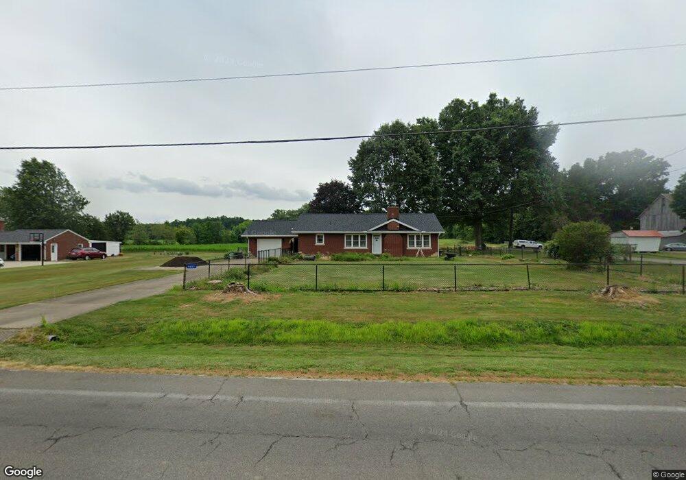
9802 Edison St NE Alliance, OH 44601
Estimated Value: $134,000 - $248,000
2
Beds
1
Bath
1,400
Sq Ft
$134/Sq Ft
Est. Value
About This Home
This home is located at 9802 Edison St NE, Alliance, OH 44601 and is currently estimated at $187,810, approximately $134 per square foot. 9802 Edison St NE is a home located in Stark County with nearby schools including Marlington High School.
Ownership History
Date
Name
Owned For
Owner Type
Purchase Details
Closed on
Nov 18, 1999
Sold by
Boyle Olyn W and Boyle Lois R
Bought by
Stout Paula F
Current Estimated Value
Home Financials for this Owner
Home Financials are based on the most recent Mortgage that was taken out on this home.
Original Mortgage
$98,000
Interest Rate
7.9%
Mortgage Type
Purchase Money Mortgage
Create a Home Valuation Report for This Property
The Home Valuation Report is an in-depth analysis detailing your home's value as well as a comparison with similar homes in the area
Home Values in the Area
Average Home Value in this Area
Purchase History
| Date | Buyer | Sale Price | Title Company |
|---|---|---|---|
| Stout Paula F | $123,000 | Prospect Title Agency Inc |
Source: Public Records
Mortgage History
| Date | Status | Borrower | Loan Amount |
|---|---|---|---|
| Closed | Stout Paula F | $98,000 |
Source: Public Records
Tax History Compared to Growth
Tax History
| Year | Tax Paid | Tax Assessment Tax Assessment Total Assessment is a certain percentage of the fair market value that is determined by local assessors to be the total taxable value of land and additions on the property. | Land | Improvement |
|---|---|---|---|---|
| 2025 | -- | $65,180 | $18,520 | $46,660 |
| 2024 | -- | $65,180 | $18,520 | $46,660 |
| 2023 | $1,719 | $55,100 | $14,110 | $40,990 |
| 2022 | $1,735 | $55,100 | $14,110 | $40,990 |
| 2021 | $1,740 | $55,100 | $14,110 | $40,990 |
| 2020 | $1,511 | $45,570 | $11,830 | $33,740 |
| 2019 | $1,500 | $45,570 | $11,830 | $33,740 |
| 2018 | $1,434 | $45,570 | $11,830 | $33,740 |
| 2017 | $1,409 | $42,210 | $10,290 | $31,920 |
| 2016 | $1,410 | $42,210 | $10,290 | $31,920 |
| 2015 | $1,412 | $42,210 | $10,290 | $31,920 |
| 2014 | $1,281 | $36,790 | $8,960 | $27,830 |
| 2013 | $627 | $36,790 | $8,960 | $27,830 |
Source: Public Records
Map
Nearby Homes
- 0 Reeder Ave NE
- 12252 Snode St NE
- 12355 Edison St NE
- 0 New Milford Rd Unit 5119787
- 12415 Snode St NE
- 11960 Freshley Ave NE
- 10666 Wilma Ave NE
- 14920 Mccallum Ave NE
- 13109 Edison St NE
- 7377 Pontius St NE
- 4829 Laubert Rd
- 5615 Laubert Rd
- 167 State Route 44
- 6180 Edison St NE
- 0 Meadow St NE
- 13334 Cindy St NE
- 11480 Aebi Ave NE
- 3952 Laubert Rd
- 90 N Jefferson St
- 14865 Millrich Cir NE
- 9834 Edison St NE
- 9750 Edison St NE
- 9747 Edison St NE
- 9789 Edison St NE
- 9714 Edison St NE
- 9676 Edison St NE
- 9677 Edison St NE
- 12396 Cedarwood Ave NE
- 9664 Saint Peters Church Rd NE
- 9912 Edison St NE
- 9654 Edison St NE
- 9689 Foxvale St NE
- 12339 Cedarwood Ave NE
- 9642 Edison St NE
- 9679 Foxvale St NE
- 12395 Cedarwood Ave NE
- 9643 Edison St NE
- 9640 Foxvale St NE
- 9957 Edison St NE
- 9631 Edison St NE