9803 Cates Ave Northfield, MN 55057
Estimated Value: $718,000 - $862,583
About This Home
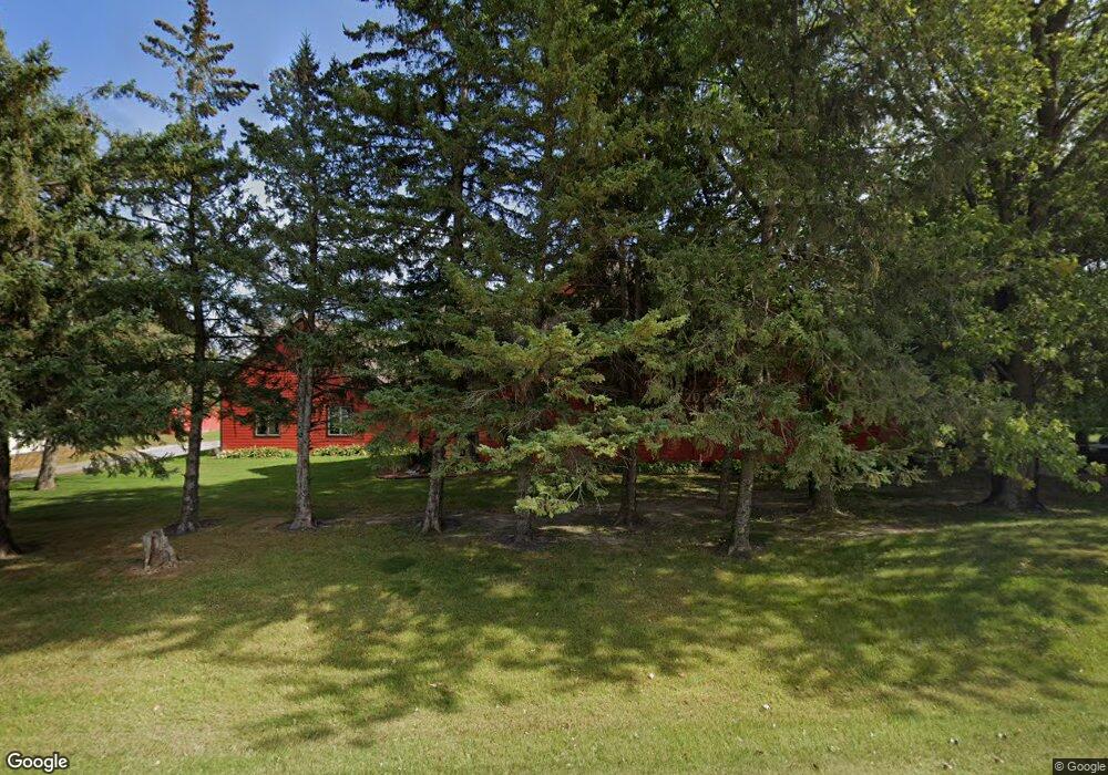
This home is located at 9803 Cates Ave, Northfield, MN 55057 and is currently estimated at $790,292, approximately $169 per square foot. 9803 Cates Ave is a home located in Rice County with nearby schools including Bridgewater Elementary School, Northfield Middle School, and Northfield Senior High School.
Ownership History
We collect this data history from publicly available records. To have your information removed, we recommend requesting removal directly through your county’s website.
Purchase Details
Home Financials for this Owner
Home Financials are based on the most recent Mortgage that was taken out on this home.Purchase History
We collect this data history from publicly available records. To have your information removed, we recommend requesting removal directly through your county’s website.
| Date | Buyer | Sale Price | Title Company |
|---|---|---|---|
| $380,121 | -- |
Mortgage History
We collect this data history from publicly available records. To have your information removed, we recommend requesting removal directly through your county’s website.
| Date | Status | Borrower | Loan Amount |
|---|---|---|---|
| Previous Owner | $361,100 |
Tax History
We collect this data history from publicly available records. To have your information removed, we recommend requesting removal directly through your county’s website.
| Year | Tax Paid | Tax Assessment Tax Assessment Total Assessment is a certain percentage of the fair market value that is determined by local assessors to be the total taxable value of land and additions on the property. | Land | Improvement |
|---|---|---|---|---|
| 2026 | $11,296 | $947,300 | $135,500 | $811,800 |
| 2025 | $11,296 | $921,100 | $127,000 | $794,100 |
| 2024 | $11,088 | $904,900 | $112,500 | $792,400 |
| 2023 | $9,234 | $904,900 | $112,500 | $792,400 |
| 2022 | $8,902 | $816,000 | $93,000 | $723,000 |
| 2021 | $9,244 | $731,600 | $101,700 | $629,900 |
| 2020 | $8,814 | $722,500 | $101,700 | $620,800 |
| 2019 | $8,988 | $680,400 | $101,700 | $578,700 |
| 2018 | $8,042 | $673,500 | $101,700 | $571,800 |
| 2017 | $7,258 | $596,100 | $101,700 | $494,400 |
| 2016 | $7,554 | $594,400 | $101,700 | $492,700 |
| 2015 | $7,494 | $595,100 | $101,700 | $493,400 |
| 2014 | -- | $594,900 | $101,700 | $493,200 |
Map
- 400 Schuller Ct
- 210 Mill St W
- 2068 Millersburg Blvd W
- xxx Weaver Rd
- 5074 Lonsdale Blvd E
- TBD Minnesota 3
- 32XX 121st St E
- 31XX 121st
- Outlot Honeylocust Dr
- XXXX 330th St
- 1900 Jefferson Rd
- 2825 Brockman Ct
- 2804 Oak Lawn Dr
- 2204 Valley Dr
- 1655 Pheasantwood Trail
- 268 Tower Ave
- 1419 Bluff St
- 1211 Lonsdale Blvd E
- 1600 Roosevelt Dr
- 554 Cannon Way
- 9892 Cates Ave
- 3635 100th St E
- 9631 Cates Ave
- 9652 Cates Ave
- XXX 100th St E
- 10163 Cates Ave
- 3885 100th St E
- 3884 100th St E
- 10403 Cates Ave
- 4050 100th St E
- 123XX Cabot Ave
- 10507 Cates Ave
- 10533 Cates Ave
- 2822 100th St E
- 9132 Cates Ave
- 3303 90th St E
- 4448 100th St E
- 3688 90th St E
- 4450 100th St E
- 9860 Decker Ave
Ask me questions while you tour the home.