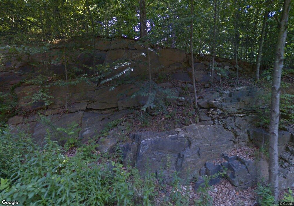
981 Durham Rd Guilford, CT 06437
Estimated Value: $615,000 - $741,483
4
Beds
3
Baths
1,960
Sq Ft
$340/Sq Ft
Est. Value
About This Home
This home is located at 981 Durham Rd, Guilford, CT 06437 and is currently estimated at $666,121, approximately $339 per square foot. 981 Durham Rd is a home located in New Haven County with nearby schools including E.C. Adams Middle School, A. Baldwin Middle School, and Guilford High School.
Ownership History
Date
Name
Owned For
Owner Type
Purchase Details
Closed on
Mar 24, 1999
Sold by
Ferrante Karen
Bought by
Rosenberg Robert D
Current Estimated Value
Home Financials for this Owner
Home Financials are based on the most recent Mortgage that was taken out on this home.
Original Mortgage
$281,700
Interest Rate
6.78%
Purchase Details
Closed on
Dec 1, 1995
Sold by
Seiler Georgfe R
Bought by
Ferrante Karen
Home Financials for this Owner
Home Financials are based on the most recent Mortgage that was taken out on this home.
Original Mortgage
$247,500
Interest Rate
7.37%
Mortgage Type
Unknown
Purchase Details
Closed on
Nov 21, 1991
Sold by
Beurer Charles F and Beurer Joanne
Bought by
Seiler George R and Seiler Astride E
Create a Home Valuation Report for This Property
The Home Valuation Report is an in-depth analysis detailing your home's value as well as a comparison with similar homes in the area
Home Values in the Area
Average Home Value in this Area
Purchase History
| Date | Buyer | Sale Price | Title Company |
|---|---|---|---|
| Rosenberg Robert D | $313,000 | -- | |
| Ferrante Karen | $275,000 | -- | |
| Seiler George R | $276,000 | -- |
Source: Public Records
Mortgage History
| Date | Status | Borrower | Loan Amount |
|---|---|---|---|
| Open | Seiler George R | $280,000 | |
| Closed | Seiler George R | $281,700 | |
| Previous Owner | Seiler George R | $247,500 | |
| Previous Owner | Seiler George R | $202,300 |
Source: Public Records
Tax History Compared to Growth
Tax History
| Year | Tax Paid | Tax Assessment Tax Assessment Total Assessment is a certain percentage of the fair market value that is determined by local assessors to be the total taxable value of land and additions on the property. | Land | Improvement |
|---|---|---|---|---|
| 2025 | $11,369 | $411,180 | $204,540 | $206,640 |
| 2024 | $10,929 | $411,180 | $204,540 | $206,640 |
| 2023 | $10,641 | $411,180 | $204,540 | $206,640 |
| 2022 | $9,848 | $296,180 | $155,920 | $140,260 |
| 2021 | $9,661 | $296,180 | $155,920 | $140,260 |
| 2020 | $9,570 | $296,180 | $155,920 | $140,260 |
| 2019 | $9,487 | $296,180 | $155,920 | $140,260 |
| 2018 | $9,265 | $296,180 | $155,920 | $140,260 |
| 2017 | $9,344 | $318,250 | $160,650 | $157,600 |
| 2016 | $9,124 | $318,250 | $160,650 | $157,600 |
| 2015 | $8,987 | $318,250 | $160,650 | $157,600 |
| 2014 | $8,726 | $318,250 | $160,650 | $157,600 |
Source: Public Records
Map
Nearby Homes
- 54 Coachlamp Ln
- 126 Stepstone Hill Rd
- 173 Highwoods Dr
- 1270 Durham Rd
- 874 Nut Plains Rd Unit Lot 2 - Style A
- 1066 Long Hill Rd
- 872 Nut Plains Rd
- 9 Lantern Hill Ln
- 14 Hazel Rd
- 102 N Mill Cir
- 37 Long Hill Farm
- 1498 Little Meadow Rd
- 24 Echo Point Rd
- 455 White Birch Dr
- 15 Briarwood Dr
- 79 Fall Rd
- 315 Durham Rd
- 64 Dohm Ave
- 42 Copper Hill Dr
- 24 Copper Hill Dr
- 983 Durham Rd
- 983 Durham Rd
- 983 Durham Rd - Aka Woods Edge
- 983 Durham Rd (Aka Woods Edge)
- 965 Durham Rd
- 987 Durham Rd
- 20 Riverside Ct
- 985 Durham Rd
- 943 Durham Rd
- 987 Durham Rd
- 987 Durham Rd Aka Woods Edge
- 989 Durham Rd
- 125 Michael Dr
- 16 Riverside Ct
- 1040 Durham Rd
- 113 Michael Dr
- 13 Riverside Ct
- 1073 Durham Rd
- 10 Riverside Ct
- 118 Michael Dr
