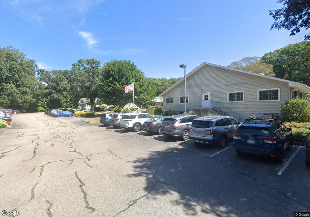
981 Kingstown Rd Unit B Wakefield, RI 02879
Estimated Value: $805,000 - $1,041,800
4
Beds
5
Baths
3,614
Sq Ft
$258/Sq Ft
Est. Value
About This Home
This home is located at 981 Kingstown Rd Unit B, Wakefield, RI 02879 and is currently estimated at $933,200, approximately $258 per square foot. 981 Kingstown Rd Unit B is a home located in Washington County with nearby schools including South Kingstown High School, Monsignor Matthew Clarke Catholic Regional School, and Bradley School-South.
Ownership History
Date
Name
Owned For
Owner Type
Purchase Details
Closed on
Apr 1, 2021
Sold by
Mahoney Neil E and Mahoney Marjorie F
Bought by
Mahoney Neil E and Mahoney Marjorie F
Current Estimated Value
Purchase Details
Closed on
Mar 27, 2017
Sold by
Neil E Mahoney T
Bought by
Mahoney Neil E and Mahoney Marjorie F
Purchase Details
Closed on
Dec 2, 2011
Sold by
Nem Inc
Bought by
Neil E Mahoney T
Purchase Details
Closed on
Jan 3, 2011
Sold by
Scallop Shell Nursing & and Nursing Scallop Shell
Bought by
981 Kingstown Road Llc
Create a Home Valuation Report for This Property
The Home Valuation Report is an in-depth analysis detailing your home's value as well as a comparison with similar homes in the area
Home Values in the Area
Average Home Value in this Area
Purchase History
| Date | Buyer | Sale Price | Title Company |
|---|---|---|---|
| Mahoney Neil E | -- | None Available | |
| Mahoney Neil E | -- | None Available | |
| Neil E Mahoney T | -- | -- | |
| 981 Kingstown Road Llc | $217,000 | -- |
Source: Public Records
Tax History Compared to Growth
Tax History
| Year | Tax Paid | Tax Assessment Tax Assessment Total Assessment is a certain percentage of the fair market value that is determined by local assessors to be the total taxable value of land and additions on the property. | Land | Improvement |
|---|---|---|---|---|
| 2025 | $8,126 | $908,900 | $294,100 | $614,800 |
| 2024 | $7,815 | $707,200 | $217,900 | $489,300 |
| 2023 | $7,815 | $707,200 | $217,900 | $489,300 |
| 2022 | $7,744 | $707,200 | $217,900 | $489,300 |
| 2021 | $7,579 | $524,500 | $167,700 | $356,800 |
| 2020 | $7,579 | $524,500 | $167,700 | $356,800 |
| 2019 | $7,579 | $524,500 | $167,700 | $356,800 |
| 2018 | $7,315 | $466,500 | $160,300 | $306,200 |
| 2017 | $7,142 | $466,500 | $160,300 | $306,200 |
| 2016 | $7,039 | $466,500 | $160,300 | $306,200 |
| 2015 | $6,970 | $449,100 | $145,900 | $303,200 |
| 2014 | $6,952 | $449,100 | $145,900 | $303,200 |
Source: Public Records
Map
Nearby Homes
- 40 Amos St
- 70 Broad Rock Rd
- 156 River St Unit B
- 3 Larkin St
- 10 Hendricks St
- 48 Stone Bridge Dr
- 37 Columbia St
- 128 North Rd
- 45 Cherry Ln Unit C
- 39 Hazard Ave
- 128 Camden Ct
- 73 Camden Ct
- 38 Eisenhower Place
- 228 Rodman St
- 98 Meadow Ave
- 128 Rodman St
- 17 Celestial Heights Dr
- 53 Rocky Brook Way
- 23 Rockland Dr
- 918 Saugatucket Rd
- 981 Kingstown Rd Unit A
- 943 Kingstown Rd
- 931 Kingstown Rd
- 940 Kingstown Rd
- 932 Kingstown Rd
- 953 Kingstown Rd
- 923 Kingstown Rd
- 924 Kingstown Rd
- 950 Kingstown Rd
- 960 Kingstown Rd
- 917 Kingstown Rd
- 920 Kingstown Rd
- 16 Amos St
- 914 Kingstown Rd Unit 2
- 961 Kingstown Rd
- 916 Kingstown Rd
- 916 Kingstown Rd Unit 1
- 957 Kingstown Rd
- 0 Broad Rock Rd
- 17 Amos St