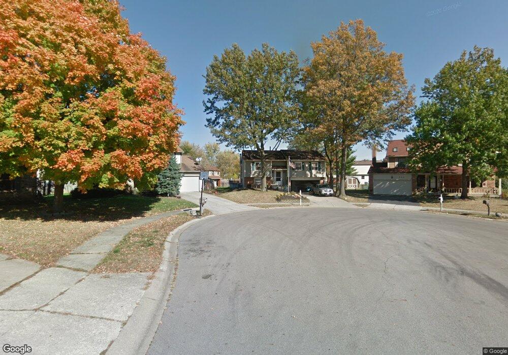
981 Martin Grove Ct Westerville, OH 43081
Estimated Value: $321,000 - $343,000
3
Beds
3
Baths
1,200
Sq Ft
$281/Sq Ft
Est. Value
About This Home
This home is located at 981 Martin Grove Ct, Westerville, OH 43081 and is currently estimated at $337,171, approximately $280 per square foot. 981 Martin Grove Ct is a home located in Franklin County with nearby schools including Pointview Elementary School, Genoa Middle School, and Westerville South High School.
Ownership History
Date
Name
Owned For
Owner Type
Purchase Details
Closed on
Apr 3, 1996
Sold by
Mandley John S
Bought by
Burwell Timothy R and Burwell Dianne M
Current Estimated Value
Home Financials for this Owner
Home Financials are based on the most recent Mortgage that was taken out on this home.
Original Mortgage
$114,950
Outstanding Balance
$5,416
Interest Rate
7.36%
Mortgage Type
VA
Estimated Equity
$331,755
Purchase Details
Closed on
Sep 21, 1989
Purchase Details
Closed on
Apr 1, 1986
Create a Home Valuation Report for This Property
The Home Valuation Report is an in-depth analysis detailing your home's value as well as a comparison with similar homes in the area
Home Values in the Area
Average Home Value in this Area
Purchase History
| Date | Buyer | Sale Price | Title Company |
|---|---|---|---|
| Burwell Timothy R | $112,700 | -- | |
| -- | $85,500 | -- | |
| -- | $77,600 | -- |
Source: Public Records
Mortgage History
| Date | Status | Borrower | Loan Amount |
|---|---|---|---|
| Open | Burwell Timothy R | $114,950 |
Source: Public Records
Tax History Compared to Growth
Tax History
| Year | Tax Paid | Tax Assessment Tax Assessment Total Assessment is a certain percentage of the fair market value that is determined by local assessors to be the total taxable value of land and additions on the property. | Land | Improvement |
|---|---|---|---|---|
| 2024 | $5,226 | $91,950 | $27,580 | $64,370 |
| 2023 | $5,115 | $91,950 | $27,580 | $64,370 |
| 2022 | $4,991 | $68,500 | $15,750 | $52,750 |
| 2021 | $5,032 | $68,500 | $15,750 | $52,750 |
| 2020 | $5,018 | $68,500 | $15,750 | $52,750 |
| 2019 | $4,251 | $54,780 | $15,750 | $39,030 |
| 2018 | $4,129 | $54,780 | $15,750 | $39,030 |
| 2017 | $4,202 | $54,780 | $15,750 | $39,030 |
| 2016 | $4,223 | $50,370 | $13,650 | $36,720 |
| 2015 | $4,090 | $50,370 | $13,650 | $36,720 |
| 2014 | $4,093 | $50,370 | $13,650 | $36,720 |
| 2013 | $2,044 | $50,365 | $13,650 | $36,715 |
Source: Public Records
Map
Nearby Homes
- 1025 Woodington Rd
- 393 Sentry Ln
- 974 Timberbank Dr
- 3512 Fox Run Rd
- 3619 Bolamo Dr
- 3362 Reno Rd
- 5888 Montevideo Rd
- 3627 Manila Dr
- 3596 Manila Dr
- 615 Vancouver Dr
- 183 Barcelona Ave
- 203 Fairdale Ave
- 6001 Cairo Rd
- 5910 Cairo Rd
- 3719 Caracas Dr
- 581 Westbury Woods Ct
- 4187 Camellia Ct
- 5660 Buenos Aires Blvd
- 994 Autumn Lake Ct
- 1015 Autumn Woods Dr
- 985 Martin Grove Ct
- 984 Martin Grove Ct
- 913 Gosfield Gate Ct
- 909 Gosfield Gate Ct
- 989 Martin Grove Ct
- 944 Tradewind Dr Unit 946
- 940 Tradewind Dr
- 988 Martin Grove Ct
- 938 Tradewind Dr
- 952 Tradewind Dr Unit 954
- 916 Gosfield Gate Ct
- 932 Tradewind Dr
- 992 Martin Grove Ct
- 995 Martin Grove Ct
- 905 Gosfield Gate Ct
- 960 Tradewind Dr Unit 962
- 930 Tradewind Dr
- 998 Martin Grove Ct
- 300 Saint Thomas Dr
- 924 Tradewind Dr