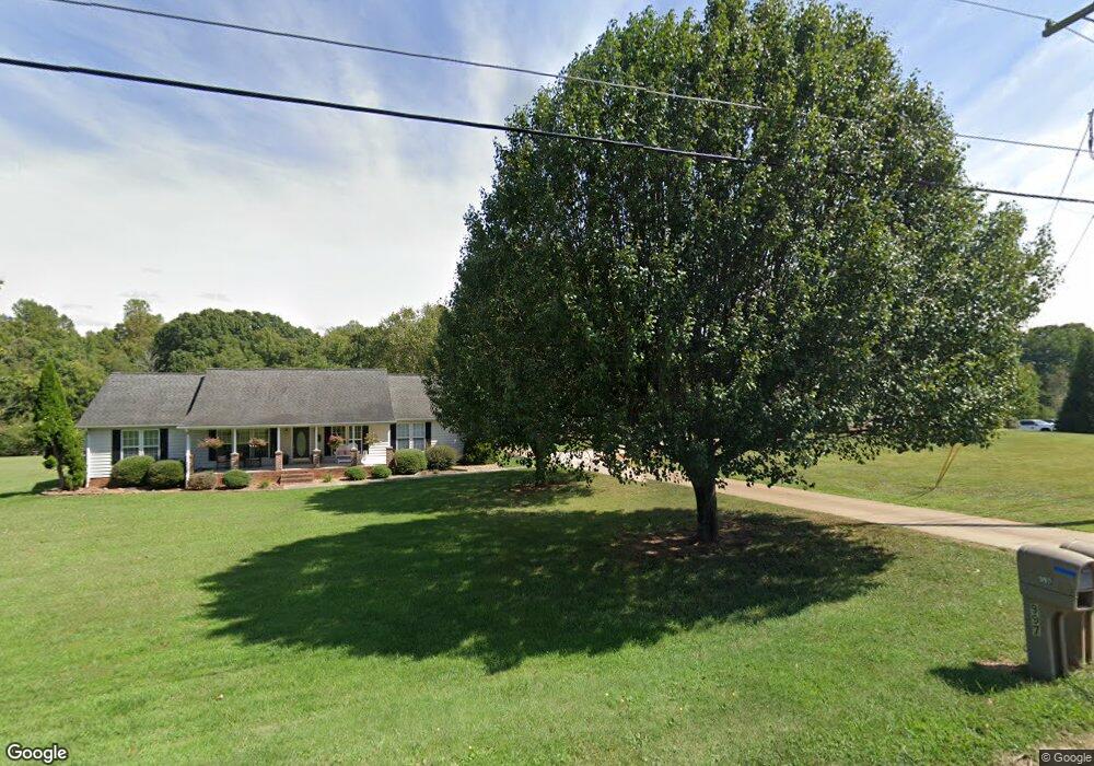
981 Perth Rd Troutman, NC 28166
Estimated Value: $260,000 - $371,519
3
Beds
2
Baths
520
Sq Ft
$600/Sq Ft
Est. Value
About This Home
This home is located at 981 Perth Rd, Troutman, NC 28166 and is currently estimated at $311,840, approximately $599 per square foot. 981 Perth Rd is a home located in Iredell County with nearby schools including Troutman Elementary School, Troutman Middle School, and South Iredell High School.
Ownership History
Date
Name
Owned For
Owner Type
Purchase Details
Closed on
Mar 1, 2023
Sold by
Menster William T and Menster Peggy
Bought by
Donaldson Andrea Denise and Benfield Kimberly Dawn
Current Estimated Value
Purchase Details
Closed on
Dec 29, 2010
Sold by
Menster William Franklin and Menster Faye Christine Little
Bought by
Menster William T and Menster Peggy
Purchase Details
Closed on
Jun 1, 1979
Purchase Details
Closed on
Jun 1, 1901
Create a Home Valuation Report for This Property
The Home Valuation Report is an in-depth analysis detailing your home's value as well as a comparison with similar homes in the area
Home Values in the Area
Average Home Value in this Area
Purchase History
| Date | Buyer | Sale Price | Title Company |
|---|---|---|---|
| Donaldson Andrea Denise | -- | -- | |
| Donaldson Andrea Denise | -- | None Listed On Document | |
| Menster William T | $50,000 | None Available | |
| -- | $35,000 | -- | |
| -- | -- | -- |
Source: Public Records
Tax History Compared to Growth
Tax History
| Year | Tax Paid | Tax Assessment Tax Assessment Total Assessment is a certain percentage of the fair market value that is determined by local assessors to be the total taxable value of land and additions on the property. | Land | Improvement |
|---|---|---|---|---|
| 2024 | $1,088 | $266,050 | $114,150 | $151,900 |
| 2023 | $1,088 | $266,050 | $114,150 | $151,900 |
| 2022 | $943 | $141,400 | $74,040 | $67,360 |
| 2021 | $943 | $141,400 | $74,040 | $67,360 |
| 2020 | $943 | $141,400 | $74,040 | $67,360 |
| 2019 | $908 | $141,400 | $74,040 | $67,360 |
| 2018 | $972 | $153,900 | $67,870 | $86,030 |
| 2017 | $972 | $153,900 | $67,870 | $86,030 |
| 2016 | $972 | $153,900 | $67,870 | $86,030 |
| 2015 | $972 | $153,900 | $67,870 | $86,030 |
| 2014 | $919 | $157,560 | $67,860 | $89,700 |
Source: Public Records
Map
Nearby Homes
- Greenwood Plan at Saddlehorn
- Oxford Plan at Saddlehorn
- Paxton Plan at Saddlehorn
- Hartford Plan at Saddlehorn
- Bennett Plan at Saddlehorn
- Belmont Plan at Saddlehorn
- Grayson Plan at Saddlehorn
- 132 Chaska Loop
- 133 Crestview Ln Unit 15
- 125 Crestview Ln Unit 14
- 161 Fernview Trail Unit 9
- 156 Ashmore Cir
- 241 Ashmore Cir
- 147 Ashmore Cir
- 191 State Park Rd
- 193 Spicewood Cir
- 150 Falls Cove Dr
- 123 Scotch Irish Ln Unit 136
- 205 Falls Cove Dr
- 193 Falls Cove Dr
- 987 Perth Rd
- 977 Perth Rd
- 114 Menster Dr
- 997 Perth Rd
- 970 Perth Rd
- 980 Perth Rd
- 994 Perth Rd
- 1007 Perth Rd
- 129 Chaska Loop
- 133 Chaska Loop
- 125 Chaska Loop
- 960 Perth Rd
- 121 Chaska Loop Unit 75
- 121 Chaska Loop
- 137 Chaska Loop Unit 71
- 137 Chaska Loop
- 988 Perth Rd
- 1006 Perth Rd
- 990 Perth Rd
- 117 Chaska Loop Unit 76