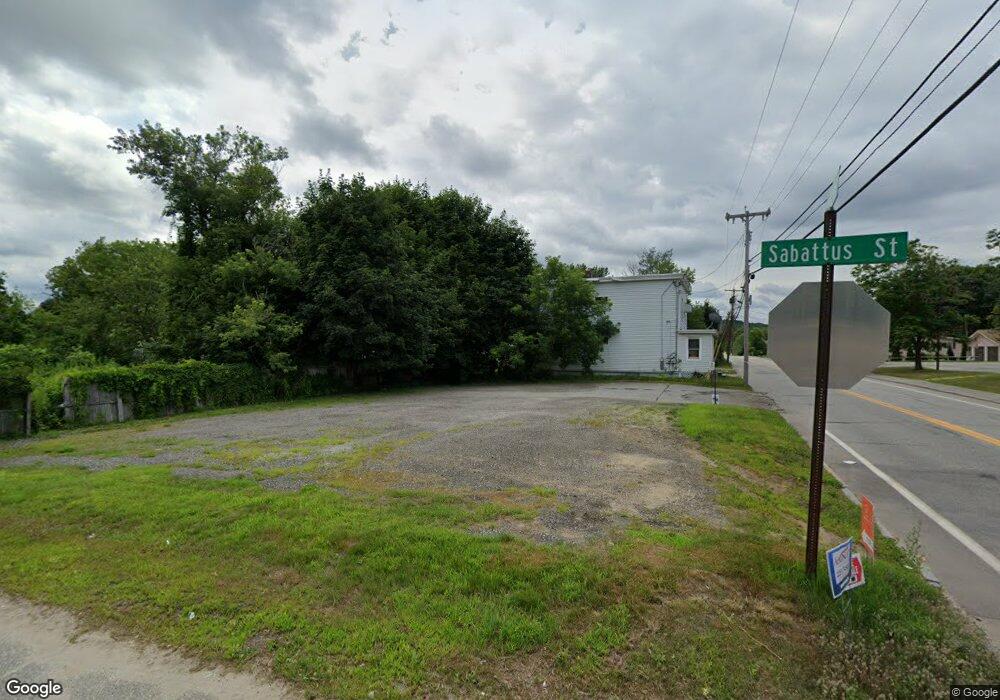
981 Sabattus St Lewiston, ME 04240
Estimated Value: $347,000
--
Bed
2
Baths
--
Sq Ft
5,663
Sq Ft Lot
About This Home
This home is located at 981 Sabattus St, Lewiston, ME 04240 and is currently priced at $347,000. 981 Sabattus St is a home located in Androscoggin County with nearby schools including Thomas J. McMahon Elementary School, Lewiston Middle School, and Lewiston High School.
Ownership History
Date
Name
Owned For
Owner Type
Purchase Details
Closed on
May 19, 2014
Sold by
Leblanc Frank and Deutsche Bk Natl T Co Tr
Bought by
Deutsche Bk Natl T Co Tr
Current Estimated Value
Purchase Details
Closed on
Nov 30, 2005
Sold by
Boulet Arthur N
Bought by
Leblanc Frank J
Home Financials for this Owner
Home Financials are based on the most recent Mortgage that was taken out on this home.
Original Mortgage
$155,920
Interest Rate
8%
Mortgage Type
Adjustable Rate Mortgage/ARM
Create a Home Valuation Report for This Property
The Home Valuation Report is an in-depth analysis detailing your home's value as well as a comparison with similar homes in the area
Home Values in the Area
Average Home Value in this Area
Purchase History
| Date | Buyer | Sale Price | Title Company |
|---|---|---|---|
| Deutsche Bk Natl T Co Tr | -- | -- | |
| Leblanc Frank J | -- | -- |
Source: Public Records
Mortgage History
| Date | Status | Borrower | Loan Amount |
|---|---|---|---|
| Previous Owner | Leblanc Frank J | $155,920 | |
| Previous Owner | Leblanc Frank J | $38,980 |
Source: Public Records
Tax History Compared to Growth
Tax History
| Year | Tax Paid | Tax Assessment Tax Assessment Total Assessment is a certain percentage of the fair market value that is determined by local assessors to be the total taxable value of land and additions on the property. | Land | Improvement |
|---|---|---|---|---|
| 2025 | $448 | $13,680 | $13,680 | $0 |
| 2024 | $435 | $13,680 | $13,680 | $0 |
| 2023 | $410 | $13,680 | $13,680 | $0 |
| 2022 | $390 | $13,680 | $13,680 | $0 |
| 2021 | $387 | $13,680 | $13,680 | $0 |
| 2020 | $392 | $13,680 | $13,680 | $0 |
| 2019 | $395 | $13,680 | $13,680 | $0 |
| 2018 | $392 | $13,680 | $13,680 | $0 |
| 2017 | $383 | $13,680 | $13,680 | $0 |
| 2016 | $377 | $13,680 | $13,680 | $0 |
| 2015 | $374 | $13,680 | $13,680 | $0 |
| 2014 | $2,714 | $102,060 | $13,680 | $88,380 |
| 2013 | $2,698 | $102,060 | $13,680 | $88,380 |
Source: Public Records
Map
Nearby Homes