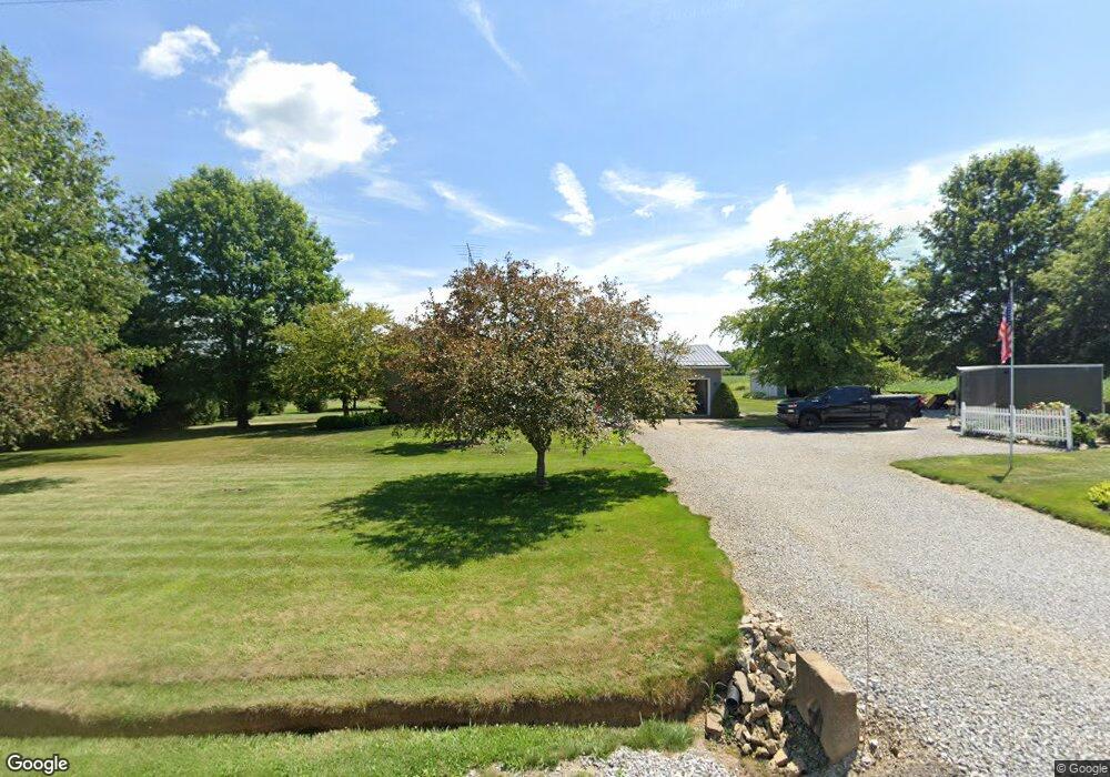
981 Township Road 713 Ashland, OH 44805
Estimated Value: $220,000 - $279,000
3
Beds
1
Bath
1,804
Sq Ft
$138/Sq Ft
Est. Value
About This Home
This home is located at 981 Township Road 713, Ashland, OH 44805 and is currently estimated at $249,034, approximately $138 per square foot. 981 Township Road 713 is a home located in Ashland County with nearby schools including Mapleton Elementary School, Mapleton Middle School, and Mapleton High School.
Ownership History
Date
Name
Owned For
Owner Type
Purchase Details
Closed on
Feb 16, 2024
Sold by
Nichols Kenneth M and Nichols Rebecca L
Bought by
Nichols Family Irrevocable Trust and Nichols
Current Estimated Value
Purchase Details
Closed on
Sep 1, 1999
Sold by
Barbee Jon A
Bought by
Nichols Kenneth M
Purchase Details
Closed on
Mar 19, 1996
Sold by
Swindaman Mabel I Mcvay
Bought by
Barbee Jon A
Purchase Details
Closed on
Jan 5, 1989
Bought by
Swindaman Mabel I Mcvay
Create a Home Valuation Report for This Property
The Home Valuation Report is an in-depth analysis detailing your home's value as well as a comparison with similar homes in the area
Home Values in the Area
Average Home Value in this Area
Purchase History
| Date | Buyer | Sale Price | Title Company |
|---|---|---|---|
| Nichols Family Irrevocable Trust | -- | Heartland Title | |
| Nichols Kenneth M | $117,000 | -- | |
| Barbee Jon A | $105,000 | -- | |
| Swindaman Mabel I Mcvay | $4,000 | -- |
Source: Public Records
Tax History Compared to Growth
Tax History
| Year | Tax Paid | Tax Assessment Tax Assessment Total Assessment is a certain percentage of the fair market value that is determined by local assessors to be the total taxable value of land and additions on the property. | Land | Improvement |
|---|---|---|---|---|
| 2024 | $1,944 | $58,870 | $6,990 | $51,880 |
| 2023 | $1,944 | $58,870 | $6,990 | $51,880 |
| 2022 | $1,749 | $47,100 | $5,590 | $41,510 |
| 2021 | $1,752 | $47,100 | $5,590 | $41,510 |
| 2020 | $1,628 | $47,100 | $5,590 | $41,510 |
| 2019 | $1,474 | $41,400 | $5,550 | $35,850 |
| 2018 | $1,546 | $41,400 | $5,550 | $35,850 |
| 2017 | $1,563 | $41,400 | $5,550 | $35,850 |
| 2016 | $1,413 | $37,650 | $5,050 | $32,600 |
| 2015 | $1,361 | $37,650 | $5,050 | $32,600 |
| 2013 | $1,464 | $38,860 | $5,030 | $33,830 |
Source: Public Records
Map
Nearby Homes
- 885 State Route 58
- 900 County Road 801
- 829 County Road 801
- 1173 Township Road 753
- 686 County Road 1302
- 0 Township Road 1275
- 99 Harold Dr
- 32 Terrace Dr
- 95 Harold Dr
- 16 Terrace Dr
- 67 Harold Dr
- 3 Terrace Dr
- 486 Township Road 1275
- 1520 Orange Rd Unit 22
- 1520 Orange Rd
- 1191 State Route 511
- 1438 Peachtree Dr
- 945 Virginia Ave
- 0 Westlake Dr
- 1471 Troy Rd
- 0 Twp 713 Unit 2445399
- 0 Twp 713 Unit 3011315
- 0 Twp 713 Unit 3117352
- 975 Township Road 713
- 0 Township Road 713
- 973 Township Road 713
- 969 Township Road 713
- 993 Township Road 713
- 995 Township Road 713
- 997 Township Road 713
- 705 State Route 302
- 709 State Route 302
- 675 Ohio 302
- 675 State Route 302
- 675 State Route 302
- 716 State Route 302
- 716 Ohio 302
- 718 State Route 302
- 676 State Route 302
- 671 State Route 302