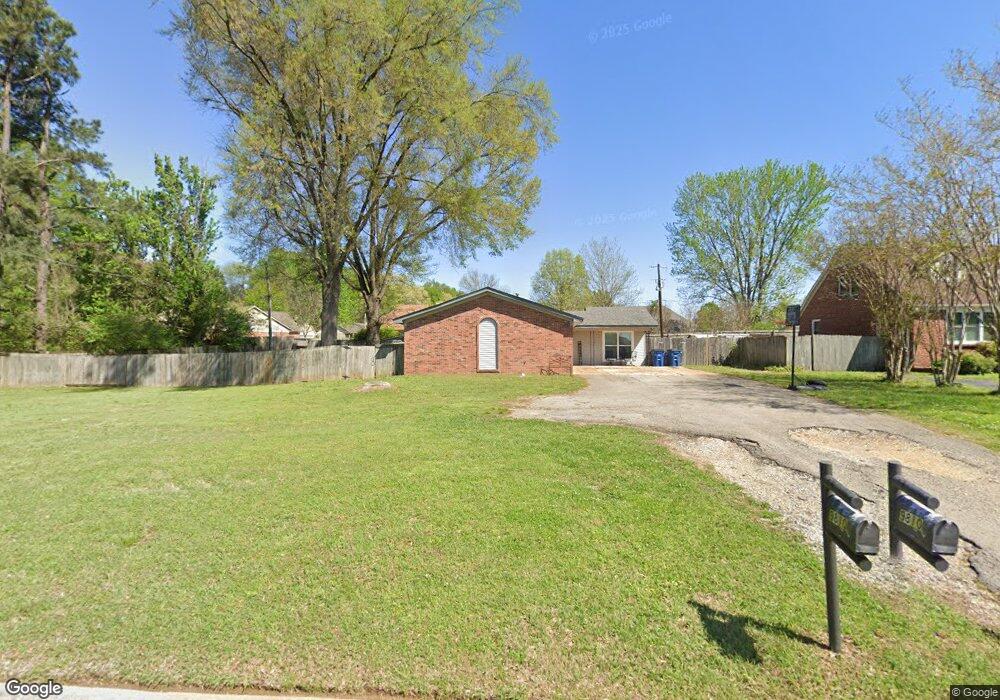
9810 E Sandidge Rd Olive Branch, MS 38654
Estimated Value: $205,000 - $235,000
3
Beds
2
Baths
1,517
Sq Ft
$146/Sq Ft
Est. Value
About This Home
This home is located at 9810 E Sandidge Rd, Olive Branch, MS 38654 and is currently estimated at $220,738, approximately $145 per square foot. 9810 E Sandidge Rd is a home located in DeSoto County with nearby schools including Olive Branch Elementary School, Chickasaw Elementary School, and Olive Branch Middle School.
Ownership History
Date
Name
Owned For
Owner Type
Purchase Details
Closed on
Jun 8, 2021
Sold by
B K Henry Properties Llc
Bought by
Floyd Carrie
Current Estimated Value
Home Financials for this Owner
Home Financials are based on the most recent Mortgage that was taken out on this home.
Original Mortgage
$147,283
Outstanding Balance
$132,472
Interest Rate
2.9%
Mortgage Type
FHA
Estimated Equity
$88,266
Create a Home Valuation Report for This Property
The Home Valuation Report is an in-depth analysis detailing your home's value as well as a comparison with similar homes in the area
Home Values in the Area
Average Home Value in this Area
Purchase History
| Date | Buyer | Sale Price | Title Company |
|---|---|---|---|
| Floyd Carrie | -- | Realty Title & Escrow Co Inc |
Source: Public Records
Mortgage History
| Date | Status | Borrower | Loan Amount |
|---|---|---|---|
| Open | Floyd Carrie | $147,283 |
Source: Public Records
Tax History
| Year | Tax Paid | Tax Assessment Tax Assessment Total Assessment is a certain percentage of the fair market value that is determined by local assessors to be the total taxable value of land and additions on the property. | Land | Improvement |
|---|---|---|---|---|
| 2025 | $923 | $10,562 | $1,000 | $9,562 |
| 2024 | $737 | $7,596 | $1,000 | $6,596 |
| 2023 | $737 | $7,596 | $0 | $0 |
| 2022 | $1,037 | $7,596 | $1,000 | $6,596 |
| 2021 | $1,555 | $11,394 | $1,500 | $9,894 |
| 2020 | $1,447 | $10,603 | $1,500 | $9,103 |
| 2019 | $1,447 | $10,603 | $1,500 | $9,103 |
| 2017 | $941 | $12,710 | $6,855 | $5,855 |
| 2016 | $941 | $6,855 | $1,000 | $5,855 |
| 2015 | $941 | $12,710 | $6,855 | $5,855 |
| 2014 | $934 | $6,811 | $0 | $0 |
| 2013 | $911 | $6,811 | $0 | $0 |
Source: Public Records
Map
Nearby Homes
- 6073 Allen Pkwy E
- 5825 Southridge Dr
- 5956 Eagleston Dr
- 7550 Old Highway 78
- 9893 Cherokee Dr
- 5750 Sparrow Run
- 5930 Lee's Crossing St
- 9919 Adina Cove
- 10009 Lacey Dr
- 9678 Stuart Cove
- 5795 Brice Cove S
- 5295 Blocker St
- 5608 Marlin Place
- 0 Alexander Dr
- 2914 Cypress Lake Dr S
- 9737 Dogwood Ct W
- 9784 Mosby Dr
- 9270 College St
- 9113 Rue Orleans Ln
- 10153 Stephenson Ln
- 9835 E Sandidge Rd
- 9837 Allen Pkwy S
- 9825 Allen Pkwy S
- 9790 E Sandidge Rd
- 9851 Allen Pkwy S
- 9860 E Sandidge Rd
- 9813 Allen Pkwy S
- 9863 Allen Pkwy S
- 5980 Southridge Dr
- 5976 Southbend Ln
- 9772 E Sandidge Rd
- 5976 Southbend Ln
- 5964 Southbend Ln
- 6035 Allen Pkwy W
- 6005 Oak Ridge Dr
- 6019 Oak Ridge Dr
- 9832 Allen Pkwy S
- 5982 Southbend Ln
- 9850 Allen Pkwy S
- 5960 Southridge Dr
Your Personal Tour Guide
Ask me questions while you tour the home.