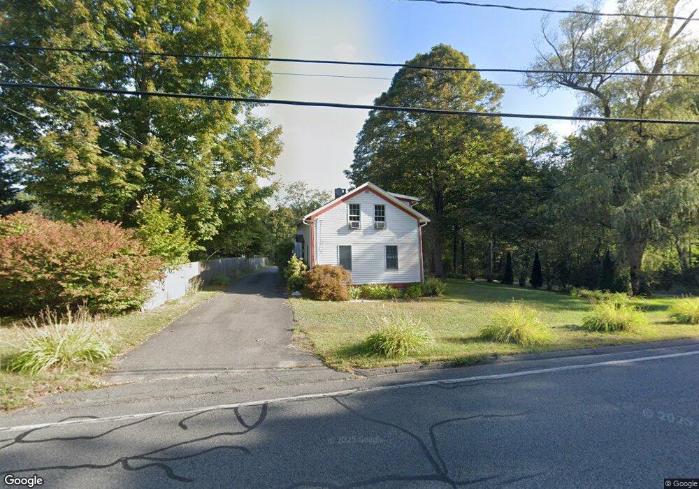
982 Bay Rd Amherst, MA 01002
Estimated Value: $493,891 - $557,000
3
Beds
2
Baths
2,100
Sq Ft
$251/Sq Ft
Est. Value
About This Home
This home is located at 982 Bay Rd, Amherst, MA 01002 and is currently estimated at $527,223, approximately $251 per square foot. 982 Bay Rd is a home located in Hampshire County with nearby schools including Crocker Farm Elementary School, Amherst Regional Middle School, and Amherst Regional High School.
Ownership History
Date
Name
Owned For
Owner Type
Purchase Details
Closed on
Jul 3, 2003
Sold by
Venditti Daniel J and Csala Margaret M
Bought by
Ibrahim Amr A and Korshed Nevine H
Current Estimated Value
Home Financials for this Owner
Home Financials are based on the most recent Mortgage that was taken out on this home.
Original Mortgage
$184,000
Outstanding Balance
$79,406
Interest Rate
5.46%
Mortgage Type
Purchase Money Mortgage
Estimated Equity
$447,817
Purchase Details
Closed on
Dec 3, 1996
Sold by
Battistoni Eugene M and Markert Edward R
Bought by
Csala Margaret M and Venditti Daniel J
Create a Home Valuation Report for This Property
The Home Valuation Report is an in-depth analysis detailing your home's value as well as a comparison with similar homes in the area
Home Values in the Area
Average Home Value in this Area
Purchase History
| Date | Buyer | Sale Price | Title Company |
|---|---|---|---|
| Ibrahim Amr A | $230,000 | -- | |
| Csala Margaret M | $153,000 | -- |
Source: Public Records
Mortgage History
| Date | Status | Borrower | Loan Amount |
|---|---|---|---|
| Open | Csala Margaret M | $184,000 | |
| Closed | Csala Margaret M | $23,000 | |
| Previous Owner | Csala Margaret M | $22,500 | |
| Previous Owner | Csala Margaret M | $123,000 |
Source: Public Records
Tax History
| Year | Tax Paid | Tax Assessment Tax Assessment Total Assessment is a certain percentage of the fair market value that is determined by local assessors to be the total taxable value of land and additions on the property. | Land | Improvement |
|---|---|---|---|---|
| 2025 | $71 | $397,000 | $159,300 | $237,700 |
| 2024 | $6,943 | $375,100 | $150,300 | $224,800 |
| 2023 | $6,639 | $330,300 | $136,700 | $193,600 |
| 2022 | $6,283 | $295,400 | $124,300 | $171,100 |
| 2021 | $6,001 | $275,000 | $115,100 | $159,900 |
| 2020 | $5,863 | $275,000 | $115,100 | $159,900 |
| 2019 | $5,716 | $262,200 | $115,100 | $147,100 |
| 2018 | $5,543 | $262,200 | $115,100 | $147,100 |
| 2017 | $5,569 | $255,100 | $109,600 | $145,500 |
| 2016 | $5,413 | $255,100 | $109,600 | $145,500 |
| 2015 | $5,240 | $255,100 | $109,600 | $145,500 |
Source: Public Records
Map
Nearby Homes
- 1731 S East St
- 365 Middle St
- 494 Station Rd
- 20 Station Rd
- 23 Alyssum Dr
- 100 Larkspur Dr
- 89 Potwine Ln
- 390 Shays St
- Lots A-C Federal St
- 130 Linden Ridge Rd
- 916 S East St
- 333 Stebbins St
- 13 Vista Terrace
- 36 Trillium Way
- 0 Federal St
- 6 Eveningstar Dr
- 14 Mcintosh Dr Unit 14
- 8 Baldwin Ln
- 27 Summerfield Rd
- 178 W Pomeroy Ln
Your Personal Tour Guide
Ask me questions while you tour the home.