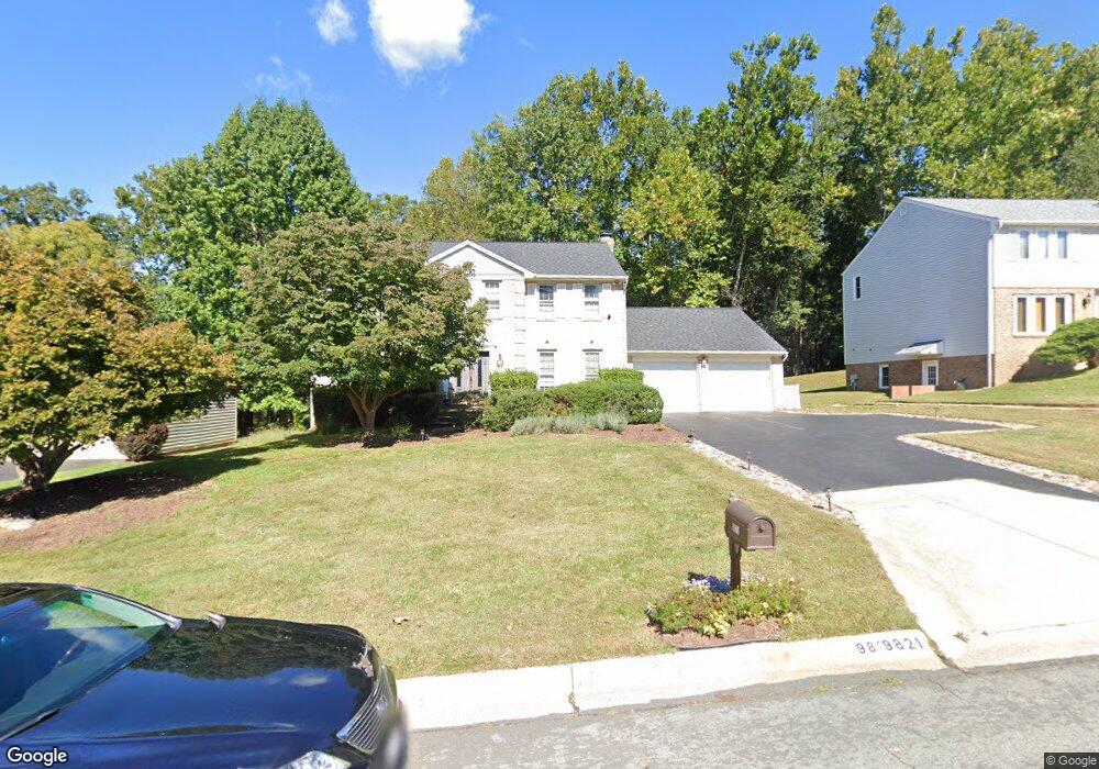
9821 Korman Ct Potomac, MD 20854
Estimated Value: $1,165,754 - $1,287,000
Studio
3
Baths
2,876
Sq Ft
$428/Sq Ft
Est. Value
About This Home
This home is located at 9821 Korman Ct, Potomac, MD 20854 and is currently estimated at $1,231,439, approximately $428 per square foot. 9821 Korman Ct is a home located in Montgomery County with nearby schools including Wayside Elementary School, Herbert Hoover Middle School, and Winston Churchill High School.
Ownership History
Date
Name
Owned For
Owner Type
Purchase Details
Closed on
Oct 26, 1995
Sold by
Minkoff Lawrence R
Bought by
Rudd Michael
Current Estimated Value
Home Financials for this Owner
Home Financials are based on the most recent Mortgage that was taken out on this home.
Original Mortgage
$302,800
Outstanding Balance
$4,236
Interest Rate
7.6%
Estimated Equity
$1,227,203
Create a Home Valuation Report for This Property
The Home Valuation Report is an in-depth analysis detailing your home's value as well as a comparison with similar homes in the area
Home Values in the Area
Average Home Value in this Area
Purchase History
| Date | Buyer | Sale Price | Title Company |
|---|---|---|---|
| Rudd Michael | $378,500 | -- | |
| Rudd Michael | $378,500 | -- |
Source: Public Records
Mortgage History
| Date | Status | Borrower | Loan Amount |
|---|---|---|---|
| Open | Rudd Michael | $302,800 |
Source: Public Records
Tax History
| Year | Tax Paid | Tax Assessment Tax Assessment Total Assessment is a certain percentage of the fair market value that is determined by local assessors to be the total taxable value of land and additions on the property. | Land | Improvement |
|---|---|---|---|---|
| 2025 | $12,002 | $1,078,300 | $422,000 | $656,300 |
| 2024 | $12,002 | $1,003,667 | $0 | $0 |
| 2023 | $10,432 | $929,033 | $0 | $0 |
| 2022 | $9,144 | $854,400 | $422,000 | $432,400 |
| 2021 | $8,727 | $839,133 | $0 | $0 |
| 2020 | $8,727 | $823,867 | $0 | $0 |
| 2019 | $8,542 | $808,600 | $422,000 | $386,600 |
| 2018 | $8,550 | $808,600 | $422,000 | $386,600 |
| 2017 | $8,713 | $808,600 | $0 | $0 |
| 2016 | -- | $833,300 | $0 | $0 |
| 2015 | $8,083 | $806,300 | $0 | $0 |
| 2014 | $8,083 | $779,300 | $0 | $0 |
Source: Public Records
Map
Nearby Homes
- 9825 Korman Ct
- 11433 Beechgrove Ln
- 11325 Bedfordshire Ave
- 11601 Bedfordshire Ave
- 11301 Crossing Glen Ct
- 11309 Hidden Hollow Ct
- 11604 Broad Green Ct
- 10809 S Glen Rd
- 9632 Trailridge Terrace
- 9327 Sprinklewood Ln
- 9 Trailridge Ct
- 9210 Marseille Dr
- 11512 Le Havre Dr
- 9312 Sprinklewood Ln
- 9304 Bells Mill Rd
- 11760 Glen Mill Rd
- 9625 Reach Rd
- 11013 Riverwood Dr
- 11800 Glen Mill Rd
- 12130 Ambleside Dr
- 9817 Korman Ct
- 9813 Korman Ct
- 9820 Korman Ct
- 9824 Korman Ct
- 9829 Korman Ct
- 9816 Korman Ct
- 9809 Korman Ct
- 9834 Korman Ct
- 9812 Korman Ct
- 9833 Korman Ct
- 11228 Korman Dr
- 11224 Korman Dr
- 9808 Korman Ct
- 11232 Korman Dr
- 11220 Korman Dr
- 9837 Korman Ct
- 9805 Korman Ct
- 10108 Colebrook Ave
- 11236 Korman Dr
- 10112 Colebrook Ave
Your Personal Tour Guide
Ask me questions while you tour the home.