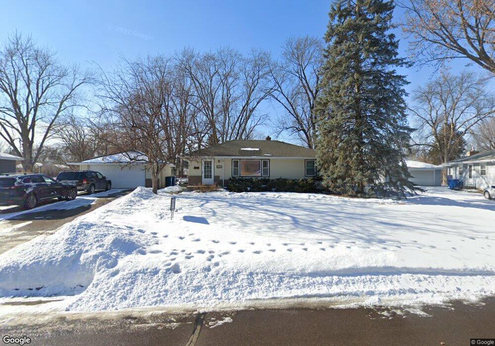
9834 Fremont Ave S Minneapolis, MN 55431
West Bloomington NeighborhoodEstimated Value: $332,000 - $376,000
4
Beds
2
Baths
1,040
Sq Ft
$342/Sq Ft
Est. Value
About This Home
This home is located at 9834 Fremont Ave S, Minneapolis, MN 55431 and is currently estimated at $355,168, approximately $341 per square foot. 9834 Fremont Ave S is a home located in Hennepin County with nearby schools including Westwood Elementary School, Oak Grove Middle School, and Kennedy Senior High School.
Ownership History
Date
Name
Owned For
Owner Type
Purchase Details
Closed on
Jul 18, 2008
Sold by
Mork Glenn R and Mork Sherry
Bought by
Nordeletten Daniel L and Nordeletten Mary K
Current Estimated Value
Create a Home Valuation Report for This Property
The Home Valuation Report is an in-depth analysis detailing your home's value as well as a comparison with similar homes in the area
Home Values in the Area
Average Home Value in this Area
Purchase History
| Date | Buyer | Sale Price | Title Company |
|---|---|---|---|
| Nordeletten Daniel L | $206,000 | -- |
Source: Public Records
Tax History Compared to Growth
Tax History
| Year | Tax Paid | Tax Assessment Tax Assessment Total Assessment is a certain percentage of the fair market value that is determined by local assessors to be the total taxable value of land and additions on the property. | Land | Improvement |
|---|---|---|---|---|
| 2024 | $3,689 | $300,400 | $128,600 | $171,800 |
| 2023 | $3,820 | $323,600 | $146,900 | $176,700 |
| 2022 | $3,113 | $296,400 | $123,300 | $173,100 |
| 2021 | $2,866 | $254,600 | $120,000 | $134,600 |
| 2020 | $3,024 | $238,700 | $116,600 | $122,100 |
| 2019 | $2,749 | $243,900 | $116,600 | $127,300 |
| 2018 | $2,458 | $220,600 | $113,900 | $106,700 |
| 2017 | $2,227 | $181,400 | $99,700 | $81,700 |
| 2016 | $2,402 | $184,800 | $100,100 | $84,700 |
| 2015 | $2,305 | $172,600 | $97,100 | $75,500 |
| 2014 | -- | $153,200 | $94,100 | $59,100 |
Source: Public Records
Map
Nearby Homes
- 10013 Girard Ave S
- 10112 Dupont Ave S
- 1409 W 102nd St
- 2311 Jones Place W
- 2113 Village Terrace
- 2201 Village Ln Unit A203
- 2225 Village Terrace
- 9540 Penn Cir
- 10458 Dupont Rd S
- 2300 W 95th St
- 9516 Russell Ave S
- 9909 Nicollet Ave S
- 109 W 102nd St
- 9917 Brookside Cir
- 9124 Knox Ave S
- 9310 Queen Ave S
- 10610 Humboldt Ave S
- 9632 Vincent Ave S
- 9132 Morgan Ave S
- 36 W 104th St
- 9824 Fremont Ave S
- 9844 Fremont Ave S
- 9835 Girard Ave S
- 9825 Girard Ave S
- 9845 Girard Ave S
- 9825 Fremont Ave S
- 9811 Girard Cir S
- 9845 Fremont Ave S
- 9900 Fremont Ave S
- 9820 Fremont Ave S
- 9815 Girard Cir S
- 9901 Girard Ave S
- 9901 Fremont Ave S
- 9834 Emerson Ave S
- 9816 Fremont Ave S
- 9824 Emerson Ave S
- 9840 Girard Ave S
- 9914 Fremont Ave S
- 9830 Girard Ave S
- 9844 Emerson Ave S