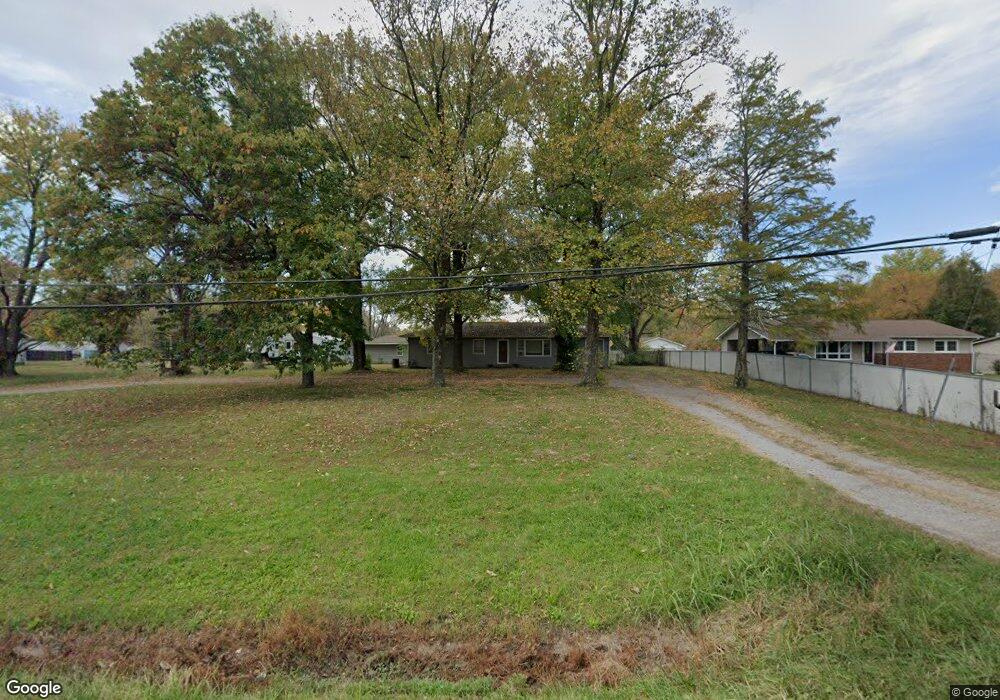
9837 Highway 127 Murphysboro, IL 62966
Estimated Value: $102,000 - $149,000
3
Beds
--
Bath
1,456
Sq Ft
$89/Sq Ft
Est. Value
About This Home
This home is located at 9837 Highway 127, Murphysboro, IL 62966 and is currently estimated at $130,252, approximately $89 per square foot. 9837 Highway 127 is a home located in Jackson County with nearby schools including Murphysboro High School, St. Andrew Catholic School, and Montessori School of S. Illinois.
Ownership History
Date
Name
Owned For
Owner Type
Purchase Details
Closed on
May 23, 2018
Sold by
Etherton Ronald W and Etherton Rhonda G
Bought by
Cross Alan W
Current Estimated Value
Home Financials for this Owner
Home Financials are based on the most recent Mortgage that was taken out on this home.
Original Mortgage
$97,042
Outstanding Balance
$83,748
Interest Rate
4.5%
Mortgage Type
VA
Estimated Equity
$46,504
Create a Home Valuation Report for This Property
The Home Valuation Report is an in-depth analysis detailing your home's value as well as a comparison with similar homes in the area
Home Values in the Area
Average Home Value in this Area
Purchase History
| Date | Buyer | Sale Price | Title Company |
|---|---|---|---|
| Cross Alan W | $31,666 | -- |
Source: Public Records
Mortgage History
| Date | Status | Borrower | Loan Amount |
|---|---|---|---|
| Open | Cross Alan W | $97,042 |
Source: Public Records
Tax History Compared to Growth
Tax History
| Year | Tax Paid | Tax Assessment Tax Assessment Total Assessment is a certain percentage of the fair market value that is determined by local assessors to be the total taxable value of land and additions on the property. | Land | Improvement |
|---|---|---|---|---|
| 2024 | $2,617 | $37,851 | $5,730 | $32,121 |
| 2023 | $2,379 | $33,583 | $5,084 | $28,499 |
| 2022 | $2,192 | $30,782 | $4,660 | $26,122 |
| 2021 | $2,066 | $28,879 | $4,372 | $24,507 |
| 2020 | $2,071 | $28,534 | $4,320 | $24,214 |
| 2019 | $1,897 | $28,038 | $4,245 | $23,793 |
| 2018 | $1,662 | $26,437 | $4,245 | $22,192 |
| 2017 | $1,683 | $26,437 | $4,245 | $22,192 |
| 2016 | $1,657 | $26,437 | $4,245 | $22,192 |
| 2015 | -- | $26,437 | $4,245 | $22,192 |
| 2014 | -- | $24,199 | $4,245 | $19,954 |
| 2012 | -- | $24,199 | $4,245 | $19,954 |
Source: Public Records
Map
Nearby Homes
- 9191 Old Highway 13
- 15 Oakwood Ln
- 8994 Old Highway 13
- 491 Wells St
- 1435 Hoffman Rd
- 8694 Old Highway 13
- 0000 Iroquois Trail
- 375 Wells St
- 1609 Tina Dr
- 538 S 17th St
- 524 S 17th St
- 101 S 6th St
- 000 Chestnut St
- 604 S 20th St
- 2237 Roblee Ave
- 103 N 7th St
- 6156 Chautauqua Rd
- 1302 Walnut St Unit 1302 & 1306
- 1827 Edith St
- 000 Birkner Ln
- 9837 Highway 127
- 9853 Highway 127
- 9799 Highway 127
- 9873 Highway 127
- 9781 Highway 127
- 9895 Highway 127
- 9814 Highway 127
- 9834 Highway 127
- 48 Moto X Ln
- 9761 Illinois 127
- 9761 Highway 127
- 9860 Illinois 127
- 49 Moto X Ln
- 9860 Highway 127
- 9784 Highway 127
- 9784 Highway 127
- 9917 Highway 127
- 9917 Illinois 127
- 9756 Highway 127
- 9935 Highway 127