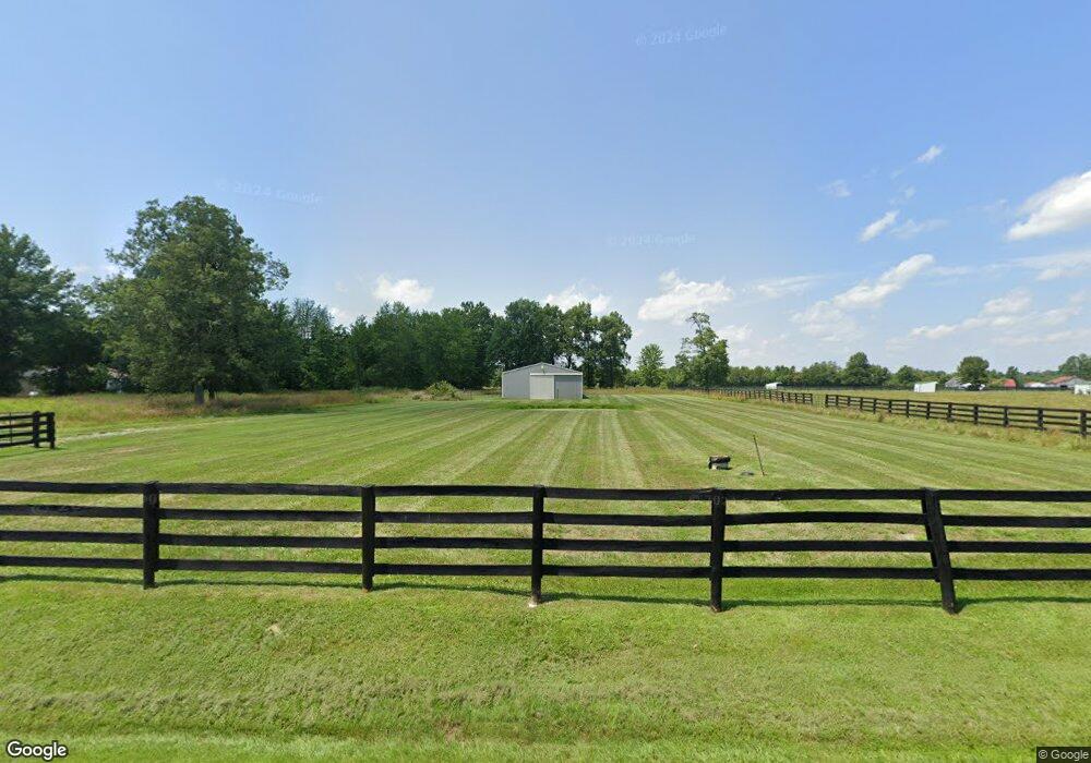
9839 W Fork Rd Georgetown, OH 45121
Estimated Value: $137,000 - $245,000
Studio
--
Bath
--
Sq Ft
226,076
Sq Ft Lot
About This Home
This home is located at 9839 W Fork Rd, Georgetown, OH 45121 and is currently estimated at $192,855. 9839 W Fork Rd is a home with nearby schools including Georgetown Elementary School and Georgetown Jr/Sr High School.
Ownership History
Date
Name
Owned For
Owner Type
Purchase Details
Closed on
Apr 5, 2010
Sold by
Lands Dora
Bought by
Preston Andria B
Current Estimated Value
Purchase Details
Closed on
Aug 16, 2006
Sold by
Pinger Daniel and Pinger Debra
Bought by
Lands Dora
Purchase Details
Closed on
Sep 19, 2001
Sold by
Finney Charles R
Bought by
Pinger Daniel and Pinger Debra
Purchase Details
Closed on
Nov 16, 2000
Sold by
Patricia A Glardon Trst
Bought by
Finney Charles R and Finney Julie
Create a Home Valuation Report for This Property
The Home Valuation Report is an in-depth analysis detailing your home's value as well as a comparison with similar homes in the area
Purchase History
| Date | Buyer | Sale Price | Title Company |
|---|---|---|---|
| Preston Andria B | -- | Attorney | |
| Lands Dora | $120,833 | None Available | |
| Pinger Daniel | $61,000 | -- | |
| Finney Charles R | $21,750 | -- |
Source: Public Records
Tax History
| Year | Tax Paid | Tax Assessment Tax Assessment Total Assessment is a certain percentage of the fair market value that is determined by local assessors to be the total taxable value of land and additions on the property. | Land | Improvement |
|---|---|---|---|---|
| 2024 | $1,059 | $31,290 | $14,530 | $16,760 |
| 2023 | $1,050 | $26,260 | $12,530 | $13,730 |
| 2022 | $917 | $26,260 | $12,530 | $13,730 |
| 2021 | $908 | $26,260 | $12,530 | $13,730 |
| 2020 | $818 | $22,840 | $10,900 | $11,940 |
| 2019 | $811 | $22,840 | $10,900 | $11,940 |
| 2018 | $805 | $22,840 | $10,900 | $11,940 |
| 2017 | $835 | $24,680 | $11,990 | $12,690 |
| 2016 | $834 | $24,680 | $11,990 | $12,690 |
| 2015 | $519 | $15,150 | $2,460 | $12,690 |
| 2014 | $495 | $13,830 | $1,140 | $12,690 |
| 2013 | $494 | $13,830 | $1,140 | $12,690 |
Source: Public Records
Map
Nearby Homes
- 9995 U S 68
- 2 N Kenwood Ave
- 1 N Kenwood Ave
- 427 Kenwood Ave
- 4279 Sunshine Rd
- 60 New St
- 399 Elmwood Ct
- 508 Mount Orab Pike
- 406 E North St
- 708 E State St
- 666 E State St
- 405 N Main St
- 505 S Water St
- 510 W State St
- 104 Waynoka Dr
- 1787 Waynoka Dr
- 1655 Waynoka Dr
- 175 Douglas Cir
- 0 Barnes Rd Unit 1851215
- 118 Shawnee Dr
- 9803 W Fork Rd
- 9939 W Fork Rd
- 9789 W Fork Rd
- 9936 W Fork Rd
- 9767 W Fork Rd
- 9800 W Fork Rd
- 9842 W Fork Rd
- 9974 W Fork Rd
- 9764 W Fork Rd
- 9750 W Fork Rd
- 9738 W Fork Rd
- 9818 Baker Hanselman Rd
- 5612 Wahlsburg East Rd
- 5610 Wahlsburg East Rd
- 9870 Baker Hanselman Rd
- 9790 Baker Hanselman Rd
- 5582 Wahlsburg East Rd
- 10061 W Fork Rd
- 9734 Baker Hanselman Rd
- 9890 Baker Hanselman Rd
Your Personal Tour Guide
Ask me questions while you tour the home.