984 Battle Rd Nolensville, TN 37135
Estimated Value: $357,000 - $617,393
2
Beds
1
Bath
1,926
Sq Ft
$261/Sq Ft
Est. Value
About This Home
This home is located at 984 Battle Rd, Nolensville, TN 37135 and is currently estimated at $503,348, approximately $261 per square foot. 984 Battle Rd is a home located in Davidson County with nearby schools including A.Z. Kelley Elementary School, Thurgood Marshall Middle School, and Cane Ridge High School.
Ownership History
Date
Name
Owned For
Owner Type
Purchase Details
Closed on
Nov 7, 2014
Sold by
Auerbach Harry S
Bought by
Noel Danny A and Noel Cindy W
Current Estimated Value
Home Financials for this Owner
Home Financials are based on the most recent Mortgage that was taken out on this home.
Original Mortgage
$78,000
Outstanding Balance
$26,531
Interest Rate
4%
Mortgage Type
New Conventional
Estimated Equity
$476,817
Purchase Details
Closed on
Aug 26, 2014
Sold by
Noel Danny A and Noel Cindy W
Bought by
Noel Danny A and Noel Cindy W
Purchase Details
Closed on
Jul 1, 2009
Sold by
Noel Danny A and Noel Cindy W
Bought by
Noel Danny A and Noel Cindy W
Purchase Details
Closed on
Oct 24, 2002
Sold by
Auerbach Harry S and Auerbach Andrew C
Bought by
Noel Danny A and Noel Cindy W
Create a Home Valuation Report for This Property
The Home Valuation Report is an in-depth analysis detailing your home's value as well as a comparison with similar homes in the area
Home Values in the Area
Average Home Value in this Area
Purchase History
| Date | Buyer | Sale Price | Title Company |
|---|---|---|---|
| Noel Danny A | -- | Bridgehouse Title | |
| Noel Danny A | -- | None Available | |
| Noel Danny A | -- | None Available | |
| Noel Danny A | $108,540 | Belle Meade Title |
Source: Public Records
Mortgage History
| Date | Status | Borrower | Loan Amount |
|---|---|---|---|
| Open | Noel Danny A | $78,000 |
Source: Public Records
Tax History Compared to Growth
Tax History
| Year | Tax Paid | Tax Assessment Tax Assessment Total Assessment is a certain percentage of the fair market value that is determined by local assessors to be the total taxable value of land and additions on the property. | Land | Improvement |
|---|---|---|---|---|
| 2024 | $1,955 | $66,918 | $28,193 | $38,725 |
| 2023 | $1,955 | $66,918 | $28,193 | $38,725 |
| 2022 | $1,955 | $66,918 | $28,193 | $38,725 |
| 2021 | $1,976 | $66,918 | $28,193 | $38,725 |
| 2020 | $1,814 | $47,875 | $23,000 | $24,875 |
| 2019 | $1,319 | $47,875 | $23,000 | $24,875 |
| 2018 | $1,319 | $47,875 | $23,000 | $24,875 |
| 2017 | $1,319 | $47,875 | $23,000 | $24,875 |
| 2016 | $1,447 | $36,874 | $18,299 | $18,575 |
| 2015 | $1,447 | $36,874 | $18,299 | $18,575 |
| 2014 | $1,392 | $35,472 | $16,897 | $18,575 |
Source: Public Records
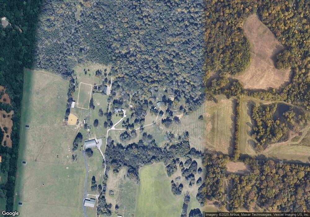
Map
Nearby Homes
- Ansley Plan at The Mill at McFarlin - Estates Series
- Kingston Plan at The Mill at McFarlin - Estates Series
- Weston Plan at The Mill at McFarlin - Estates Series
- Buchanan Plan at The Mill at McFarlin - Estates Series
- 373 Baronswood Dr
- 4701 Perth Ln
- 2211 Potter Place
- 3009 Winterberry Dr
- 4141 Brendlyn Dr
- 4137 Brendlyn Dr
- 2222 Potter Place
- 2215 Potter Place
- 4133 Brendlyn Dr
- 2219 Potter Place
- 2223 Potter Place
- 5012 Wick Ln
- 4129 Brendlyn Dr
- 3006 Winterberry Dr
- 2207 Potter Place
- 4811 Kintore Dr
- 1010 Battle Rd
- 980 Battle Rd
- 0 Mcfarlin Rd Unit 1954646
- 0 Mcfarlin Rd Unit 1898220
- 0 Mcfarlin Rd Unit 1842890
- 0 Mcfarlin Rd Unit 1841748
- 0 Mcfarlin Rd Unit 1841728
- 0 Mcfarlin Rd Unit 1635935
- 0 Mcfarlin Rd Unit 1740403
- 0 Mcfarlin Rd Unit 2101685
- 200 Fann Rd
- 174 Fann Rd
- 2176 Kidd Rd
- 944 Battle Rd
- 3019 Duns Lane #294
- 134 Fann Rd
- 368 Fann Rd
- 0 Kidd Rd Unit 1914818
- 0 Kidd Rd Unit 1911714
- 0 Kidd Rd Unit 1689817