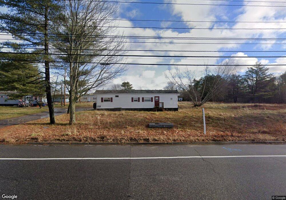
984 Spring St Westbrook, ME 04092
1
Bed
1
Bath
720
Sq Ft
458,251
Sq Ft
About This Home
This home is located at 984 Spring St, Westbrook, ME 04092. 984 Spring St is a home located in Cumberland County with nearby schools including Westbrook High School and The Little Dolphin School Foundation.
Ownership History
Date
Name
Owned For
Owner Type
Purchase Details
Closed on
Oct 14, 2025
Sold by
Reveler Westwood Llc
Bought by
Westbrook Res Hldg Llc
Home Financials for this Owner
Home Financials are based on the most recent Mortgage that was taken out on this home.
Original Mortgage
$51,500,000
Outstanding Balance
$51,312,255
Interest Rate
6.5%
Mortgage Type
Purchase Money Mortgage
Purchase Details
Closed on
Oct 4, 2023
Sold by
984 Spring St Llc
Bought by
Reveler Westwood Llc
Home Financials for this Owner
Home Financials are based on the most recent Mortgage that was taken out on this home.
Original Mortgage
$2,600,000
Interest Rate
7.23%
Mortgage Type
Purchase Money Mortgage
Purchase Details
Closed on
Feb 23, 2018
Sold by
Direnzo Ft and Direnzo
Bought by
984 Spring Street Llc
Purchase Details
Closed on
Dec 11, 2012
Sold by
Direnzo Anthony F
Bought by
Direnzo Ft and Direnzo
Purchase Details
Closed on
Apr 15, 2008
Sold by
Medio Direnzo T and Medio Direnzo
Bought by
Direnzo Anthony F
Create a Home Valuation Report for This Property
The Home Valuation Report is an in-depth analysis detailing your home's value as well as a comparison with similar homes in the area
Home Values in the Area
Average Home Value in this Area
Purchase History
| Date | Buyer | Sale Price | Title Company |
|---|---|---|---|
| Westbrook Res Hldg Llc | $6,000,000 | -- | |
| Reveler Westwood Llc | $2,100,000 | None Available | |
| 984 Spring Street Llc | -- | -- | |
| Direnzo Ft | -- | -- | |
| Direnzo Ft | -- | -- | |
| Direnzo Anthony F | -- | -- |
Source: Public Records
Mortgage History
| Date | Status | Borrower | Loan Amount |
|---|---|---|---|
| Open | Westbrook Res Hldg Llc | $51,500,000 | |
| Previous Owner | Reveler Westwood Llc | $2,600,000 |
Source: Public Records
Tax History
| Year | Tax Paid | Tax Assessment Tax Assessment Total Assessment is a certain percentage of the fair market value that is determined by local assessors to be the total taxable value of land and additions on the property. | Land | Improvement |
|---|---|---|---|---|
| 2023 | $9,916 | $594,500 | $504,500 | $90,000 |
| 2022 | $8,969 | $495,500 | $420,500 | $75,000 |
| 2021 | $8,835 | $495,500 | $420,500 | $75,000 |
| 2020 | $8,850 | $495,500 | $420,500 | $75,000 |
| 2019 | $8,850 | $495,500 | $420,500 | $75,000 |
| 2018 | $8,438 | $434,600 | $359,600 | $75,000 |
| 2017 | $0 | $434,600 | $359,600 | $75,000 |
| 2016 | $7,997 | $434,600 | $359,600 | $75,000 |
| 2015 | $7,805 | $434,600 | $359,600 | $75,000 |
| 2014 | $7,475 | $434,600 | $359,600 | $75,000 |
| 2013 | $7,475 | $434,600 | $359,600 | $75,000 |
Source: Public Records
Map
Nearby Homes
- 85 Running Hill Rd
- 87 Running Hill Rd
- 75 Running Hill Rd
- 6 Cummings Rd
- 500 Spring St
- 101 Owls Nest Rd
- 134 Owls Nest Rd
- 149 Owls Nest Rd
- 144 Owls Nest Rd
- 155 Owls Nest Rd
- 11 Anderson Ave
- 128 Owls Nest Rd
- 112 Owls Nest Rd
- 547 Saco St
- 121 Victoria Dr
- 79 Buckingham Dr
- 13 Windsor Dr
- 184 Central St
- 162 Wickham Way
- 2 Firefly St Unit 303
Your Personal Tour Guide
Ask me questions while you tour the home.