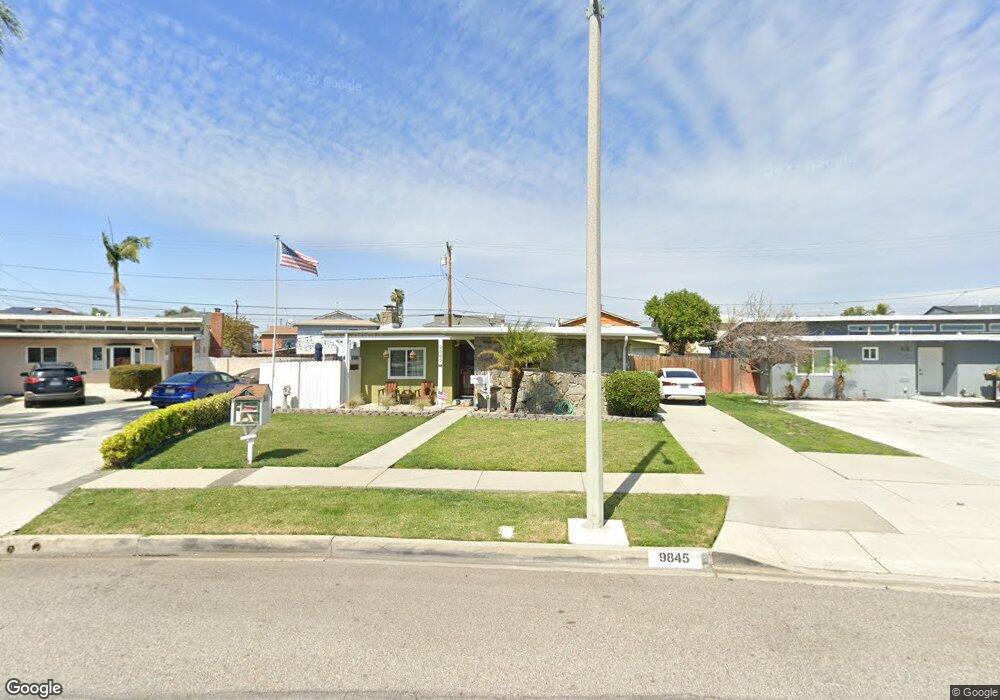
9845 Firebird Ave Whittier, CA 90605
South Whittier NeighborhoodEstimated Value: $737,000 - $782,000
2
Beds
1
Bath
1,190
Sq Ft
$647/Sq Ft
Est. Value
About This Home
This home is located at 9845 Firebird Ave, Whittier, CA 90605 and is currently estimated at $769,739, approximately $646 per square foot. 9845 Firebird Ave is a home located in Los Angeles County with nearby schools including Pioneer High School, Carden Academy of Whittier, and St. Paul High School.
Ownership History
Date
Name
Owned For
Owner Type
Purchase Details
Closed on
Mar 11, 2003
Sold by
The Silva Family Trust
Bought by
Crail Christopher R and English Jill L
Current Estimated Value
Home Financials for this Owner
Home Financials are based on the most recent Mortgage that was taken out on this home.
Original Mortgage
$257,500
Interest Rate
5.72%
Purchase Details
Closed on
Oct 24, 2002
Sold by
Va
Bought by
Silva Caroline E and The Silva Family Trust
Create a Home Valuation Report for This Property
The Home Valuation Report is an in-depth analysis detailing your home's value as well as a comparison with similar homes in the area
Home Values in the Area
Average Home Value in this Area
Purchase History
| Date | Buyer | Sale Price | Title Company |
|---|---|---|---|
| Crail Christopher R | $257,500 | Commonwealth | |
| Silva Caroline E | -- | -- |
Source: Public Records
Mortgage History
| Date | Status | Borrower | Loan Amount |
|---|---|---|---|
| Previous Owner | Crail Christopher R | $257,500 |
Source: Public Records
Tax History Compared to Growth
Tax History
| Year | Tax Paid | Tax Assessment Tax Assessment Total Assessment is a certain percentage of the fair market value that is determined by local assessors to be the total taxable value of land and additions on the property. | Land | Improvement |
|---|---|---|---|---|
| 2025 | $4,698 | $372,929 | $290,094 | $82,835 |
| 2024 | $4,698 | $365,617 | $284,406 | $81,211 |
| 2023 | $4,554 | $358,449 | $278,830 | $79,619 |
| 2022 | $4,582 | $351,421 | $273,363 | $78,058 |
| 2021 | $4,487 | $344,531 | $268,003 | $76,528 |
| 2019 | $4,407 | $334,313 | $260,054 | $74,259 |
| 2018 | $4,217 | $327,758 | $254,955 | $72,803 |
| 2016 | $4,007 | $315,032 | $245,055 | $69,977 |
| 2015 | $3,907 | $310,301 | $241,375 | $68,926 |
| 2014 | $3,869 | $304,223 | $236,647 | $67,576 |
Source: Public Records
Map
Nearby Homes
- 13426 Anola St
- 13317 Allegan St
- 10123 Lanett Ave
- 9534 Painter Ave
- 13649 Reis St
- 9551 Barkerville Ave
- 9545 Barkerville Ave
- 10246 Parkinson Ave
- 13856 Mulberry Dr
- 13752 Bentongrove Dr
- 13535 Dunton Dr
- 14042 Hawes St
- 14026 Light St
- 13762 Danbrook Dr
- 9127 Greenleaf Ave
- 9009 Bluford Ave
- 10035 Ben Hur Ave
- 14033 Oval Dr
- 14052 Reis St
- 12718 Shreve Rd
- 9839 Firebird Ave
- 9849 Firebird Ave
- 9842 Hawkstone Ave
- 9836 Hawkstone Ave
- 9848 Hawkstone Ave
- 9832 Hawkstone Ave
- 9833 Firebird Ave
- 9852 Hawkstone Ave
- 9855 Firebird Ave
- 9828 Hawkstone Ave
- 9856 Hawkstone Ave
- 9827 Firebird Ave
- 9840 Firebird Ave
- 9860 Hawkstone Ave
- 9854 Firebird Ave
- 9820 Hawkstone Ave
- 9830 Firebird Ave
- 9821 Firebird Ave
- 13426 Caffel Way
- 13427 Caffel Way