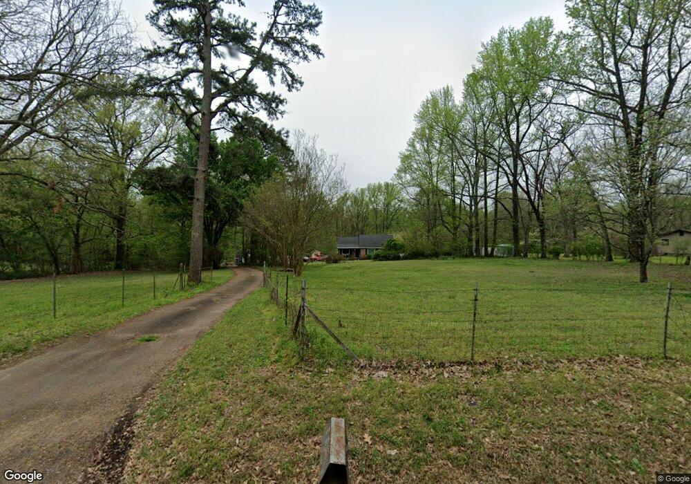
985 Fite Rd Millington, TN 38053
Estimated Value: $211,474 - $265,000
3
Beds
1
Bath
1,586
Sq Ft
$145/Sq Ft
Est. Value
About This Home
This home is located at 985 Fite Rd, Millington, TN 38053 and is currently estimated at $229,869, approximately $144 per square foot. 985 Fite Rd is a home located in Shelby County with nearby schools including E.E. Jeter Elementary School and Trezevant High School.
Ownership History
Date
Name
Owned For
Owner Type
Purchase Details
Closed on
Jan 29, 2013
Sold by
Cunningham Mary Louise and Cunningham Dale Ray
Bought by
Sutherland Louis H
Current Estimated Value
Home Financials for this Owner
Home Financials are based on the most recent Mortgage that was taken out on this home.
Original Mortgage
$101,134
Outstanding Balance
$70,992
Interest Rate
3.5%
Mortgage Type
FHA
Estimated Equity
$158,877
Create a Home Valuation Report for This Property
The Home Valuation Report is an in-depth analysis detailing your home's value as well as a comparison with similar homes in the area
Home Values in the Area
Average Home Value in this Area
Purchase History
| Date | Buyer | Sale Price | Title Company |
|---|---|---|---|
| Sutherland Louis H | $103,000 | Edco Title And Closing Servi |
Source: Public Records
Mortgage History
| Date | Status | Borrower | Loan Amount |
|---|---|---|---|
| Open | Sutherland Louis H | $101,134 |
Source: Public Records
Tax History Compared to Growth
Tax History
| Year | Tax Paid | Tax Assessment Tax Assessment Total Assessment is a certain percentage of the fair market value that is determined by local assessors to be the total taxable value of land and additions on the property. | Land | Improvement |
|---|---|---|---|---|
| 2025 | $1,266 | $39,325 | $18,125 | $21,200 |
| 2024 | $1,266 | $37,350 | $17,200 | $20,150 |
| 2023 | $1,266 | $37,350 | $17,200 | $20,150 |
| 2022 | $1,266 | $37,350 | $17,200 | $20,150 |
| 2021 | $1,289 | $37,350 | $17,200 | $20,150 |
| 2020 | $1,137 | $28,075 | $17,200 | $10,875 |
| 2019 | $1,137 | $28,075 | $17,200 | $10,875 |
| 2018 | $1,137 | $28,075 | $17,200 | $10,875 |
| 2017 | $1,154 | $28,075 | $17,200 | $10,875 |
| 2016 | $1,243 | $28,450 | $0 | $0 |
| 2014 | $1,243 | $28,450 | $0 | $0 |
Source: Public Records
Map
Nearby Homes
- 5923 Island Forty Rd
- 6007 Island Forty Rd
- 5921 Benjestown Rd
- 5423 Breckenwood Dr
- 5387 Cornstalk Cove
- 1 Robertson Rd
- 5371 Cedar Bluff Dr
- 6224 Benjestown Rd
- 5382 Beaverton Dr
- 5306 Beaverton Dr
- 5315 Braden Dr
- 6642 Benjestown Rd
- 6443 N Watkins St
- 5204 Black Diamond Cove
- 635 Mcwhirter Ave
- 6525 N Watkins Rd
- 5140 Blacksmith Dr
- 5096 Belfast Dr
- 5080 Breckenwood Dr
- 5055 N Watkins St