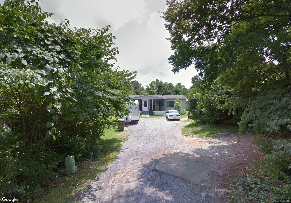
985 Neikirk Dr Morristown, TN 37813
Estimated Value: $241,870 - $278,000
--
Bed
2
Baths
2,312
Sq Ft
$111/Sq Ft
Est. Value
About This Home
This home is located at 985 Neikirk Dr, Morristown, TN 37813 and is currently estimated at $257,718, approximately $111 per square foot. 985 Neikirk Dr is a home located in Hamblen County with nearby schools including Lincoln Heights Elementary School, Lincoln Heights Middle School, and Morristown West High School.
Ownership History
Date
Name
Owned For
Owner Type
Purchase Details
Closed on
Sep 4, 1984
Bought by
Harris David P and Harris Glenna
Current Estimated Value
Purchase Details
Closed on
Nov 2, 1983
Bought by
Hayes Robert D and Hayes Margaret D
Purchase Details
Closed on
Oct 11, 1982
Bought by
Honeycutt William B and Debra Ann
Purchase Details
Closed on
Jul 6, 1978
Bought by
Curl Lee Roy
Create a Home Valuation Report for This Property
The Home Valuation Report is an in-depth analysis detailing your home's value as well as a comparison with similar homes in the area
Home Values in the Area
Average Home Value in this Area
Purchase History
| Date | Buyer | Sale Price | Title Company |
|---|---|---|---|
| Harris David P | $11,000 | -- | |
| Hayes Robert D | $4,900 | -- | |
| Honeycutt William B | -- | -- | |
| Curl Lee Roy | $10,000 | -- |
Source: Public Records
Tax History Compared to Growth
Tax History
| Year | Tax Paid | Tax Assessment Tax Assessment Total Assessment is a certain percentage of the fair market value that is determined by local assessors to be the total taxable value of land and additions on the property. | Land | Improvement |
|---|---|---|---|---|
| 2024 | $517 | $29,375 | $5,650 | $23,725 |
| 2023 | $517 | $29,375 | $0 | $0 |
| 2022 | $928 | $29,375 | $5,650 | $23,725 |
| 2021 | $928 | $29,375 | $5,650 | $23,725 |
| 2020 | $900 | $28,525 | $5,650 | $22,875 |
| 2019 | $888 | $26,100 | $3,850 | $22,250 |
| 2018 | $822 | $26,100 | $3,850 | $22,250 |
| 2017 | $809 | $26,100 | $3,850 | $22,250 |
| 2016 | $772 | $26,100 | $3,850 | $22,250 |
| 2015 | $719 | $26,100 | $3,850 | $22,250 |
| 2014 | -- | $26,100 | $3,850 | $22,250 |
| 2013 | -- | $31,800 | $0 | $0 |
Source: Public Records
Map
Nearby Homes
- 440 S Fairmont Ave
- Darwin Plan at Southwood
- Penwell Plan at Southwood
- Elston Plan at Southwood
- Robie Plan at Southwood
- Cali Plan at Southwood
- Belhaven Plan at Southwood
- 1049 Greenway Dr
- 2024 Southwood Cir
- 2018 Southwood Cir
- 837 Pauline Ave
- 1530 Rayburn Dr
- 203 Lincoln Ave
- 1476 Darbee Dr
- 731 Lennie Ave
- 1211 W 6th St N
- 900 Baird Ave
- 1002 Watercrest St
- 2444 Sandstone Dr
- 2454 Sandstone Dr
- 978 Neikirk Dr
- 300 Franklin Dr
- 974 Neikirk Dr
- 961 Neikirk Dr
- 926 Jarnigan Ave
- 962 Neikirk Dr
- 950 Neikirk Dr
- 954 Neikirk Dr
- 0 Dr Martin Luther King Pkwy Unit 579007
- 942 Neikirk Dr
- 909 Neikirk Dr
- 910 Neikirk Dr
- 918 Neikirk Dr
- 926 Neikirk Dr
- 922 Neikirk Dr
- 0 Neikirk Dr
- 840 Jarnigan Ave
- 836 Jarnigan Ave
- 846 Jarnigan Ave
- 830 Jarnigan Ave