985 Province Rd Barnstead, NH 03218
Estimated Value: $427,259 - $750,000
3
Beds
2
Baths
2,836
Sq Ft
$197/Sq Ft
Est. Value
About This Home
This home is located at 985 Province Rd, Barnstead, NH 03218 and is currently estimated at $558,065, approximately $196 per square foot. 985 Province Rd is a home with nearby schools including Barnstead Elementary School and Prospect Mountain High School.
Ownership History
Date
Name
Owned For
Owner Type
Purchase Details
Closed on
Dec 30, 2002
Sold by
Hughes James J
Bought by
Johnston Weldon R
Current Estimated Value
Home Financials for this Owner
Home Financials are based on the most recent Mortgage that was taken out on this home.
Original Mortgage
$155,000
Interest Rate
6.02%
Create a Home Valuation Report for This Property
The Home Valuation Report is an in-depth analysis detailing your home's value as well as a comparison with similar homes in the area
Home Values in the Area
Average Home Value in this Area
Purchase History
| Date | Buyer | Sale Price | Title Company |
|---|---|---|---|
| Johnston Weldon R | $256,500 | -- |
Source: Public Records
Mortgage History
| Date | Status | Borrower | Loan Amount |
|---|---|---|---|
| Open | Johnston Weldon R | $129,546 | |
| Closed | Johnston Weldon R | $155,000 |
Source: Public Records
Tax History
| Year | Tax Paid | Tax Assessment Tax Assessment Total Assessment is a certain percentage of the fair market value that is determined by local assessors to be the total taxable value of land and additions on the property. | Land | Improvement |
|---|---|---|---|---|
| 2025 | $5,958 | $347,426 | $115,426 | $232,000 |
| 2024 | $5,667 | $347,447 | $115,447 | $232,000 |
| 2023 | $4,986 | $347,464 | $115,464 | $232,000 |
| 2022 | $5,284 | $244,649 | $59,349 | $185,300 |
| 2021 | $5,374 | $244,698 | $59,398 | $185,300 |
| 2020 | $5,653 | $244,721 | $59,421 | $185,300 |
| 2019 | $5,588 | $244,750 | $59,450 | $185,300 |
| 2018 | $5,444 | $244,658 | $59,358 | $185,300 |
| 2017 | $4,626 | $160,058 | $40,358 | $119,700 |
| 2016 | $4,359 | $159,973 | $40,273 | $119,700 |
| 2015 | $4,343 | $159,976 | $40,276 | $119,700 |
| 2014 | $4,881 | $203,696 | $52,096 | $151,600 |
| 2013 | $5,175 | $220,210 | $52,110 | $168,100 |
Source: Public Records
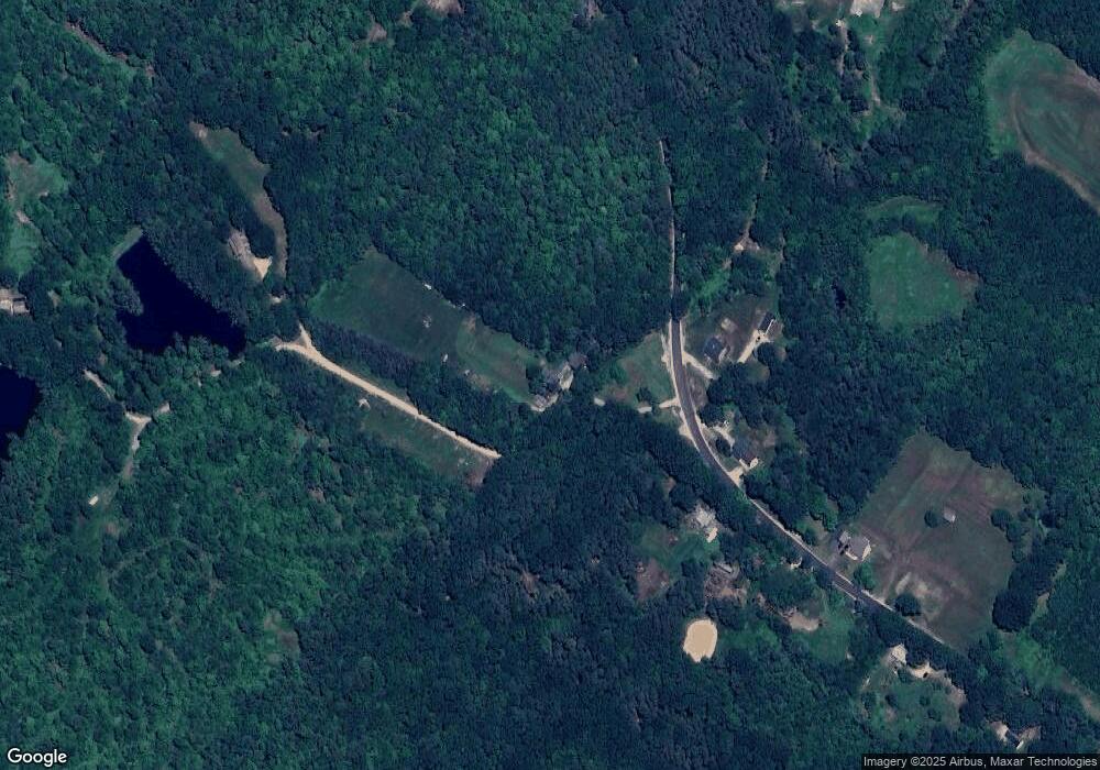
Map
Nearby Homes
- M2-l29-9 Province Rd
- L33 Province Rd
- 4 Sandy Point Rd
- 61a Suncook Valley Rd
- 33 W Meadow Rd
- 88 Winant Rd
- 97 Fairview Dr
- Map R29 Lot 1 Catamount Rd
- 22 Pinepark Dr
- 47 Carroll St
- 110 Main St
- 79 High St
- 4 Depot St
- 9 Park St
- 18 Catamount Rd
- 22 Concord Hill Rd
- 21 Concord Hill Rd
- L68-1 Vail Rd
- L68-2 Vail Rd
- 56 Beaver Pond Dr
- Lot 21 Province Rd
- 986 Province Rd
- 693 Province Rd
- 999 Province Rd
- 994 Province Rd
- 1007 Province Rd
- 989 Province Rd
- 1014 Province Rd
- 1029 Province Rd
- 935 Province Rd
- 948 Province Rd
- 991 Province Rd
- 921 Province Rd
- 1039 Province Rd
- 924 Province Rd
- 911 Province Rd
- 1051 Province Rd
- 920 Province Rd
- L14 Province Rd
- L6 Province Rd
Your Personal Tour Guide
Ask me questions while you tour the home.