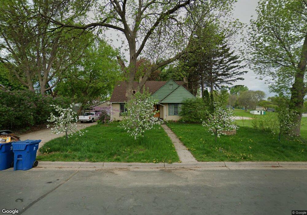
985 Sperl St West St. Paul, MN 55118
Estimated Value: $359,000 - $372,273
5
Beds
3
Baths
2,034
Sq Ft
$179/Sq Ft
Est. Value
About This Home
This home is located at 985 Sperl St, West St. Paul, MN 55118 and is currently estimated at $365,068, approximately $179 per square foot. 985 Sperl St is a home located in Dakota County with nearby schools including Moreland Arts & Health Sciences Magnet School, Heritage E-STEM Magnet School, and Two Rivers High School.
Ownership History
Date
Name
Owned For
Owner Type
Purchase Details
Closed on
Dec 31, 2015
Sold by
Reed Kenneth A and Reed Becky H
Bought by
Salzman Scott J and Salzman Amy R
Current Estimated Value
Home Financials for this Owner
Home Financials are based on the most recent Mortgage that was taken out on this home.
Original Mortgage
$176,800
Outstanding Balance
$140,475
Interest Rate
3.93%
Mortgage Type
New Conventional
Estimated Equity
$224,593
Purchase Details
Closed on
Feb 18, 2011
Sold by
Crosby Timothy P and Crosby Mary Kay
Bought by
Reed Kenneth A and Reed Becky H
Create a Home Valuation Report for This Property
The Home Valuation Report is an in-depth analysis detailing your home's value as well as a comparison with similar homes in the area
Home Values in the Area
Average Home Value in this Area
Purchase History
| Date | Buyer | Sale Price | Title Company |
|---|---|---|---|
| Salzman Scott J | $208,000 | Burnet Title | |
| Reed Kenneth A | $190,000 | -- |
Source: Public Records
Mortgage History
| Date | Status | Borrower | Loan Amount |
|---|---|---|---|
| Open | Salzman Scott J | $176,800 |
Source: Public Records
Tax History Compared to Growth
Tax History
| Year | Tax Paid | Tax Assessment Tax Assessment Total Assessment is a certain percentage of the fair market value that is determined by local assessors to be the total taxable value of land and additions on the property. | Land | Improvement |
|---|---|---|---|---|
| 2024 | $4,652 | $371,700 | $76,600 | $295,100 |
| 2023 | $4,652 | $378,100 | $81,100 | $297,000 |
| 2022 | $3,814 | $358,800 | $80,800 | $278,000 |
| 2021 | $3,380 | $298,300 | $70,300 | $228,000 |
| 2020 | $3,318 | $265,800 | $67,000 | $198,800 |
| 2019 | $3,923 | $254,700 | $63,800 | $190,900 |
| 2018 | $3,662 | $282,300 | $59,600 | $222,700 |
| 2017 | $3,405 | $275,600 | $56,800 | $218,800 |
| 2016 | $3,209 | $248,500 | $51,600 | $196,900 |
| 2015 | $2,991 | $220,000 | $47,169 | $172,831 |
| 2014 | -- | $198,309 | $43,131 | $155,178 |
| 2013 | -- | $185,338 | $39,300 | $146,038 |
Source: Public Records
Map
Nearby Homes
- 297 Hurley St E
- 235 Mainzer St
- 254 Arion St E
- 273 Butler Ave E
- 377 Winona St E
- 1107 Oakdale Ave
- 1616 Stickney Ave
- 369 Belvidere St E Unit 369B
- 180 Wyoming St E
- 1560 Stickney Ave
- 1425 Evans Ave
- 1421 Evans Ave
- 751 Woodbury St
- 255 Curtice St E
- 492 Curtice St E
- 1436 Stickney Ave
- 344 Page St E
- 203 Moreland Ave E
- 230 Stanley Ave
- 1251 Macarthur Ave
- 985 Sperl St
- 347 Bernard St E
- 337 Bernard St E
- 985 985 Sperl St
- 329 Bernard St E
- 347 347 Bernard-Street-e
- 347 347 Bernard St E
- 353 Bernard St E
- 980 Sperl St
- 321 Bernard St E
- 357 Bernard St E
- 325 325 Bernard St E
- 976 Sperl St
- 322 322 Bernard St E
- 348 Bernard St E
- 334 Bernard St E
- 970 Sperl St
- 357 357 Bernard St E
- 357 357 Bernard-Street-e
- 361 Bernard St E