9852 619th Ave Ellsworth, WI 54011
Estimated Value: $400,856 - $578,000
--
Bed
--
Bath
--
Sq Ft
3.02
Acres
About This Home
This home is located at 9852 619th Ave, Ellsworth, WI 54011 and is currently estimated at $468,285. 9852 619th Ave is a home with nearby schools including Malone Elementary School, Prescott Middle School, and Prescott High School.
Ownership History
Date
Name
Owned For
Owner Type
Purchase Details
Closed on
May 27, 2005
Sold by
P & J Land Llc
Bought by
Gunderson Peter J and Gunderson Debra L
Current Estimated Value
Home Financials for this Owner
Home Financials are based on the most recent Mortgage that was taken out on this home.
Original Mortgage
$327,250
Interest Rate
5.91%
Mortgage Type
New Conventional
Create a Home Valuation Report for This Property
The Home Valuation Report is an in-depth analysis detailing your home's value as well as a comparison with similar homes in the area
Home Values in the Area
Average Home Value in this Area
Purchase History
| Date | Buyer | Sale Price | Title Company |
|---|---|---|---|
| Gunderson Peter J | $54,900 | None Available |
Source: Public Records
Mortgage History
| Date | Status | Borrower | Loan Amount |
|---|---|---|---|
| Closed | Gunderson Peter J | $327,250 |
Source: Public Records
Tax History Compared to Growth
Tax History
| Year | Tax Paid | Tax Assessment Tax Assessment Total Assessment is a certain percentage of the fair market value that is determined by local assessors to be the total taxable value of land and additions on the property. | Land | Improvement |
|---|---|---|---|---|
| 2024 | $5,028 | $329,300 | $47,600 | $281,700 |
| 2023 | $4,657 | $329,300 | $47,600 | $281,700 |
| 2022 | $3,900 | $329,300 | $47,600 | $281,700 |
| 2021 | $3,944 | $209,700 | $41,600 | $168,100 |
| 2020 | $4,379 | $209,700 | $41,600 | $168,100 |
| 2019 | $4,100 | $209,700 | $41,600 | $168,100 |
| 2018 | $3,960 | $209,700 | $41,600 | $168,100 |
| 2017 | $4,158 | $209,700 | $41,600 | $168,100 |
| 2016 | $3,921 | $209,700 | $41,600 | $168,100 |
| 2015 | $3,940 | $209,700 | $41,600 | $168,100 |
| 2014 | $3,905 | $209,700 | $41,600 | $168,100 |
| 2013 | $3,779 | $209,700 | $41,600 | $168,100 |
Source: Public Records
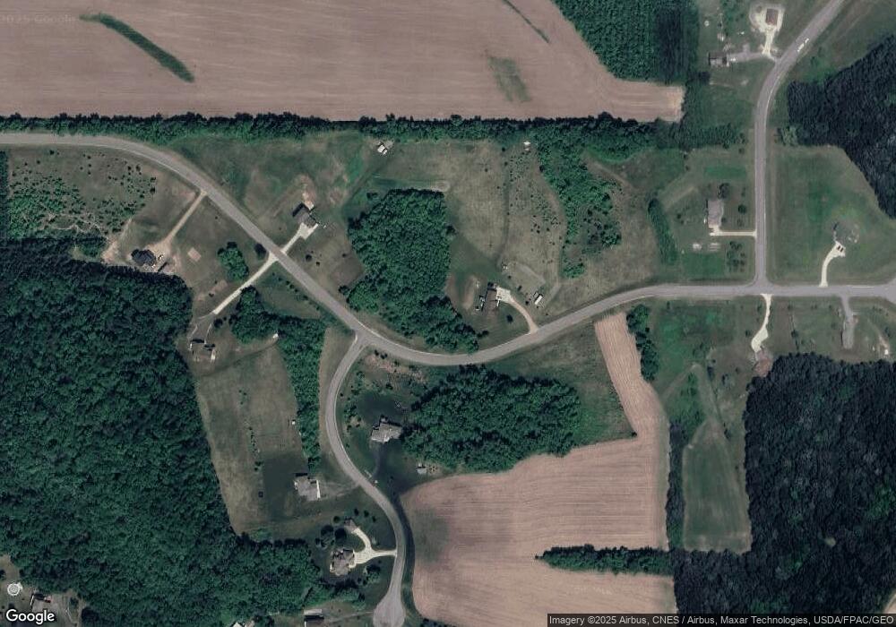
Map
Nearby Homes
- N5449 County Rd E
- W10664 566th Ave
- W10415 521st Ave
- xxxxx 566th Ave
- N5620 1090th St
- N5887 1110th St
- W10005 710th Ave
- W9600 770th Ave
- W10006 State Road 29
- Lot 16 817 Ave
- W10780 468th Ave
- Lot 2 1098th St
- N4848 1110th St
- W11011 470th Ave
- N7716 State Road 65
- 2323 Aurora Cir
- TBD 1015th St
- 168 Raymond Ave
- 176 Raymond Ave
- W11540 504th Ave
- Lot 16 Big River Estates
- N6134 988th St
- Lot 2 619th Ave
- Lot 36 619th Ave
- Lot 5 Big River Estates
- W9907 619th Ave
- Lot 4 Big River Estates
- Lot 6 Big River Estates
- Lot 17 Big River Estates
- w 9911 619th Ave
- N6109 988th St
- N6187 978th St
- W9783 619th Ave
- W9931 619th Ave
- LOT 14 988th St
- N6103 988th St
- N6103 988th St
- N6080 988th St
- N6088 988th St
- N6091 988th St