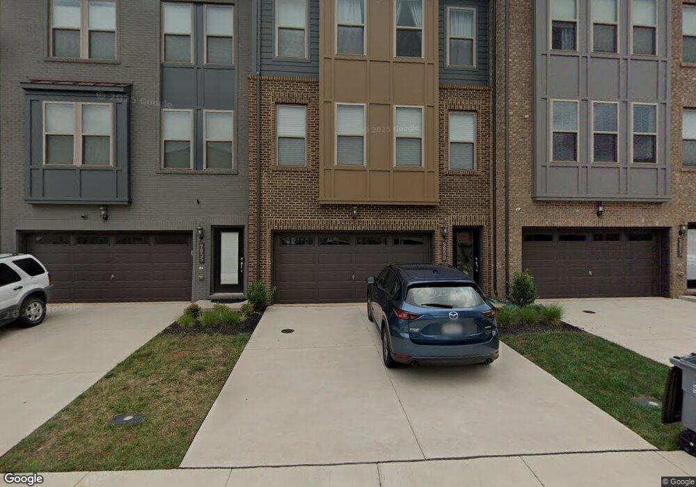
9859 Buchanan Loop Manassas, VA 20110
Old Town Manassas NeighborhoodEstimated Value: $593,798 - $623,000
3
Beds
3
Baths
2,513
Sq Ft
$243/Sq Ft
Est. Value
About This Home
This home is located at 9859 Buchanan Loop, Manassas, VA 20110 and is currently estimated at $610,200, approximately $242 per square foot. 9859 Buchanan Loop is a home located in Manassas City with nearby schools including Jennie Dean Elementary School, Mayfield Intermediate School, and Grace E. Metz Middle School.
Ownership History
Date
Name
Owned For
Owner Type
Purchase Details
Closed on
Jun 24, 2019
Sold by
Pwc Neighborhoods Ii Llc
Bought by
Parrott Jacques and Parrott Antoinette
Current Estimated Value
Home Financials for this Owner
Home Financials are based on the most recent Mortgage that was taken out on this home.
Original Mortgage
$428,080
Outstanding Balance
$374,819
Interest Rate
4.1%
Estimated Equity
$235,381
Purchase Details
Closed on
Feb 14, 2019
Sold by
Manassas Gateway Llc
Bought by
Pwc Neighborohoods Ii Llc
Create a Home Valuation Report for This Property
The Home Valuation Report is an in-depth analysis detailing your home's value as well as a comparison with similar homes in the area
Home Values in the Area
Average Home Value in this Area
Purchase History
| Date | Buyer | Sale Price | Title Company |
|---|---|---|---|
| Parrott Jacques | $441,320 | First Excel Title Llc | |
| Pwc Neighborohoods Ii Llc | $1,040,000 | First Excel Title Llc |
Source: Public Records
Mortgage History
| Date | Status | Borrower | Loan Amount |
|---|---|---|---|
| Open | Parrott Jacques | $428,080 |
Source: Public Records
Tax History
| Year | Tax Paid | Tax Assessment Tax Assessment Total Assessment is a certain percentage of the fair market value that is determined by local assessors to be the total taxable value of land and additions on the property. | Land | Improvement |
|---|---|---|---|---|
| 2025 | $7,198 | $571,300 | $132,000 | $439,300 |
| 2024 | $7,198 | $541,800 | $132,000 | $409,800 |
| 2023 | $6,655 | $528,200 | $127,000 | $401,200 |
| 2022 | $6,572 | $489,700 | $110,500 | $379,200 |
| 2021 | $6,442 | $450,800 | $98,500 | $352,300 |
| 2020 | $6,201 | $424,700 | $95,500 | $329,200 |
| 2019 | $1,376 | $93,000 | $93,000 | $0 |
| 2018 | $1,059 | $72,500 | $72,500 | $0 |
Source: Public Records
Map
Nearby Homes
- 10485 Ratcliffe Trail
- 10441 Ratcliffe Trail
- 10436 Ratcliffe Trail
- 10941 Samuel Trexler Dr
- 10150 Queens Way
- 10157 Queens Way
- 10161 Queens Way
- 10165 Queens Way
- 10114 Queens Way
- 10106 Queens Way
- 9539 Justin Ln
- 10245 Battlefield Dr
- 10501 Winged Elm Cir
- 10283 Cedar Ridge Dr
- 9634 Branchview Ln
- 9647 Branchview Ln
- 9440 Flowerden Ln
- 10391 Aragon Ct
- 10162 Corydalis Ct
- 10416 Monterosa Place
- 9855 Buchanan Loop
- 9851 Buchanan Loop
- 9863 Buchanan Loop
- 9867 Buchanan Loop
- 10533 Ratcliffe Trail
- 9871 Buchanan Loop
- 9879 Buchanan Loop
- 9875 Buchanan Loop
- 10529 Ratcliffe Trail
- 9904 Buchanan Loop
- 9866 Buchanan Loop
- 9862 Buchanan Loop
- 10555 Ratcliffe Trail
- 10551 Ratcliffe Trail
- 10563 Ratcliffe Trail
- 9882 Buchanan Loop
- 9878 Buchanan Loop
- 10525 Ratcliffe Trail
- 9912 Buchanan Loop
- 9908 Buchanan Loop
Your Personal Tour Guide
Ask me questions while you tour the home.