9863 Firethorn Ln Quinton, VA 23141
Estimated Value: $389,000 - $407,000
4
Beds
2
Baths
1,776
Sq Ft
$224/Sq Ft
Est. Value
About This Home
This home is located at 9863 Firethorn Ln, Quinton, VA 23141 and is currently estimated at $397,852, approximately $224 per square foot. 9863 Firethorn Ln is a home located in New Kent County with nearby schools including New Kent High School.
Ownership History
Date
Name
Owned For
Owner Type
Purchase Details
Closed on
Feb 13, 2008
Sold by
Enterprise Bldrs And Dev Llc
Bought by
Moss Judy S
Current Estimated Value
Home Financials for this Owner
Home Financials are based on the most recent Mortgage that was taken out on this home.
Original Mortgage
$185,600
Outstanding Balance
$117,560
Interest Rate
6.14%
Mortgage Type
New Conventional
Estimated Equity
$280,292
Purchase Details
Closed on
Mar 5, 2007
Sold by
Capitol Builders Inc
Bought by
Enterprise Builders And Develo
Create a Home Valuation Report for This Property
The Home Valuation Report is an in-depth analysis detailing your home's value as well as a comparison with similar homes in the area
Home Values in the Area
Average Home Value in this Area
Purchase History
| Date | Buyer | Sale Price | Title Company |
|---|---|---|---|
| Moss Judy S | $232,000 | -- | |
| Enterprise Builders And Develo | $50,000 | -- |
Source: Public Records
Mortgage History
| Date | Status | Borrower | Loan Amount |
|---|---|---|---|
| Open | Enterprise Builders And Develo | $185,600 |
Source: Public Records
Tax History
| Year | Tax Paid | Tax Assessment Tax Assessment Total Assessment is a certain percentage of the fair market value that is determined by local assessors to be the total taxable value of land and additions on the property. | Land | Improvement |
|---|---|---|---|---|
| 2025 | $2,106 | $351,000 | $79,400 | $271,600 |
| 2024 | $2,071 | $351,000 | $79,400 | $271,600 |
| 2023 | $1,859 | $277,400 | $74,400 | $203,000 |
| 2022 | $1,859 | $277,400 | $74,400 | $203,000 |
| 2021 | $1,864 | $236,000 | $54,300 | $181,700 |
| 2020 | $186 | $236,000 | $54,300 | $181,700 |
| 2019 | $1,721 | $209,900 | $45,100 | $164,800 |
| 2018 | $1,721 | $209,900 | $45,100 | $164,800 |
| 2017 | $1,653 | $199,200 | $34,700 | $164,500 |
| 2016 | $1,653 | $199,200 | $34,700 | $164,500 |
| 2015 | $1,454 | $173,100 | $31,900 | $141,200 |
| 2014 | -- | $173,100 | $31,900 | $141,200 |
Source: Public Records
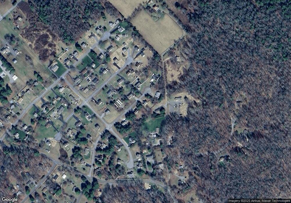
Map
Nearby Homes
- 9050 Higgins Rd
- 2911 Quaker Rd
- 2404 Prince Andrew Ct Unit 42
- 2427 Prince John Ct Unit 9
- 4411 Toccoa Terrace
- 4206 Redbank Rd
- 3550 Davis Glade Ct
- 2753 Kimball Ln
- 4714 Monaco Dr
- 4712 Monaco Dr
- 4800 Stockholm Dr
- 7455 Winding Jasmine Rd
- 602 Turka Dr
- 4708 Gaardahl Dr
- 9640 Cosby Mill Rd Unit E
- 7635 Patriots Landing Place
- 3535 Meadow Rd
- 703 Rasmussen Dr
- 3540 Enos Way
- 3500 Enos Way
- 9505 Firethorn Ln
- 8920 Ellyson Trace Unit C
- 9882 Firethorn Ln
- 9979 Firethorn Ln
- 9936 Firethorn Ln
- 8910 Ellyson Trace Unit D
- 9375 Firethorn Ln
- 9996 Firethorn Ln
- 8921 Ellyson Trace
- 9045 Basswood Dr
- 9055 Basswood Dr
- 1800 Littleleaf Ln
- 1698 Littleleaf Ln
- 9033 Basswood Dr
- 9061 Basswood Dr
- 8900 Ellyson Trace
- 0 Littleleaf Ln Unit OLD2906142
- 0 Littleleaf Ln Unit OLD2841861
- 0 Littleleaf Ln Unit OLD2830193
- 0 Littleleaf Ln Unit OLD2830191
Your Personal Tour Guide
Ask me questions while you tour the home.