987 Parallel Dr Lakeport, CA 95453
Estimated Value: $4,144,835
--
Bed
--
Bath
20,000
Sq Ft
$207/Sq Ft
Est. Value
About This Home
This home is located at 987 Parallel Dr, Lakeport, CA 95453 and is currently estimated at $4,144,835, approximately $207 per square foot. 987 Parallel Dr is a home located in Lake County with nearby schools including Lakeport Elementary School, Terrace Middle School, and Clear Lake High School.
Ownership History
Date
Name
Owned For
Owner Type
Purchase Details
Closed on
May 25, 2010
Sold by
King Alvin W and King Penelope
Bought by
Sampson Alan D and Sampson Kathy J
Current Estimated Value
Home Financials for this Owner
Home Financials are based on the most recent Mortgage that was taken out on this home.
Original Mortgage
$1,050,000
Outstanding Balance
$703,083
Interest Rate
5.03%
Mortgage Type
Commercial
Estimated Equity
$3,441,752
Purchase Details
Closed on
Dec 14, 2005
Sold by
Trip Network Inc
Bought by
King Alvin W and King Penelope
Home Financials for this Owner
Home Financials are based on the most recent Mortgage that was taken out on this home.
Original Mortgage
$800,000
Interest Rate
6.31%
Mortgage Type
Seller Take Back
Create a Home Valuation Report for This Property
The Home Valuation Report is an in-depth analysis detailing your home's value as well as a comparison with similar homes in the area
Home Values in the Area
Average Home Value in this Area
Purchase History
| Date | Buyer | Sale Price | Title Company |
|---|---|---|---|
| Sampson Alan D | $1,600,000 | Fidelity National Title Co | |
| King Alvin W | $2,000,000 | Fidelity National Title |
Source: Public Records
Mortgage History
| Date | Status | Borrower | Loan Amount |
|---|---|---|---|
| Open | Sampson Alan D | $1,050,000 | |
| Previous Owner | King Alvin W | $800,000 |
Source: Public Records
Tax History Compared to Growth
Tax History
| Year | Tax Paid | Tax Assessment Tax Assessment Total Assessment is a certain percentage of the fair market value that is determined by local assessors to be the total taxable value of land and additions on the property. | Land | Improvement |
|---|---|---|---|---|
| 2025 | $25,017 | $2,065,306 | $774,489 | $1,290,817 |
| 2024 | $24,417 | $2,024,810 | $759,303 | $1,265,507 |
| 2023 | $24,024 | $1,985,109 | $744,415 | $1,240,694 |
| 2022 | $23,632 | $1,946,186 | $729,819 | $1,216,367 |
| 2021 | $23,479 | $1,908,026 | $715,509 | $1,192,517 |
| 2020 | $22,725 | $1,888,463 | $708,173 | $1,180,290 |
| 2019 | $2,926 | $1,851,436 | $694,288 | $1,157,148 |
Source: Public Records
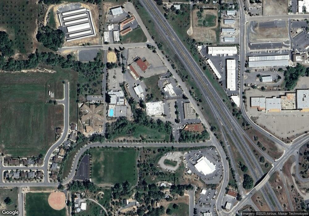
Map
Nearby Homes
- 1025 Martin St Unit 32
- 1025 Martin St Unit 2
- 1025 Martin St Unit 13
- 501 Island View Dr
- 1025 Armstrong St
- 205 Kimberly Ln
- 60 Shirley Ct
- 8155 California 29
- 8205 California 29
- 1524 Martin St
- 440 Campbell Ln
- 333 Grace Ln
- 2441 Parallel Dr
- 320 Armstrong St
- 2110 Diane Way
- 70 Lupoyoma Ave
- 55 E St
- 977 Sixth St
- 130 Armstrong St
- 201 S Main St
- 1279 Craig Ave
- 1293 Craig Ave
- 1295 Todd Rd Extension
- 1246 Wrigley St
- 1250 Wrigley St
- 975 Bevins St
- 1309 Todd Rd Extension
- 1249 Wrigley St
- 1343 Broten Ct
- 521 S Smith St
- 1262 Wrigley St
- 1296 Craig Ave
- 1266 Wrigley St
- 1270 Wrigley St
- 1339 Broten Ct
- 1349 Broten Ct
- 1329 Todd Rd Extension
- 1329 Todd Rd Extension None
- 520 S Smith St
- 1403 Camden Ave