9877 E 580 Locust Grove, OK 74352
Estimated Value: $125,000 - $186,000
2
Beds
1
Bath
720
Sq Ft
$230/Sq Ft
Est. Value
About This Home
This home is located at 9877 E 580, Locust Grove, OK 74352 and is currently estimated at $165,519, approximately $229 per square foot. 9877 E 580 is a home with nearby schools including Locust Grove Early Lrning Center, Locust Grove Upper Elementary School, and Locust Grove Middle School.
Ownership History
Date
Name
Owned For
Owner Type
Purchase Details
Closed on
Dec 29, 2021
Sold by
Bates Granvil David and Bates Carolyn B
Bought by
Reed Lesley Roland
Current Estimated Value
Home Financials for this Owner
Home Financials are based on the most recent Mortgage that was taken out on this home.
Original Mortgage
$97,000
Outstanding Balance
$89,143
Interest Rate
3.05%
Mortgage Type
New Conventional
Estimated Equity
$76,376
Purchase Details
Closed on
Aug 18, 2020
Sold by
Bates Granvil D and Bates Carolyn S
Bought by
Bates Granvil David and Bates Carlolyn Sue
Purchase Details
Closed on
May 3, 1999
Sold by
Weston Dennis Etal
Bought by
Bates Granvil
Create a Home Valuation Report for This Property
The Home Valuation Report is an in-depth analysis detailing your home's value as well as a comparison with similar homes in the area
Purchase History
| Date | Buyer | Sale Price | Title Company |
|---|---|---|---|
| Reed Lesley Roland | $100,000 | First American Title | |
| Bates Granvil David | -- | None Available | |
| Bates Granvil | $20,000 | -- |
Source: Public Records
Mortgage History
| Date | Status | Borrower | Loan Amount |
|---|---|---|---|
| Open | Reed Lesley Roland | $97,000 |
Source: Public Records
Tax History
| Year | Tax Paid | Tax Assessment Tax Assessment Total Assessment is a certain percentage of the fair market value that is determined by local assessors to be the total taxable value of land and additions on the property. | Land | Improvement |
|---|---|---|---|---|
| 2025 | $1,192 | $12,834 | $4,417 | $8,417 |
| 2024 | $1,137 | $12,223 | $4,207 | $8,016 |
| 2023 | $1,137 | $11,641 | $4,121 | $7,520 |
| 2022 | $1,000 | $11,087 | $3,920 | $7,167 |
| 2021 | $643 | $6,980 | $2,139 | $4,841 |
| 2020 | $622 | $6,647 | $1,983 | $4,664 |
| 2019 | $593 | $6,331 | $1,750 | $4,581 |
| 2018 | $597 | $6,255 | $1,729 | $4,526 |
| 2017 | $569 | $5,957 | $1,647 | $4,310 |
| 2016 | $529 | $5,673 | $1,568 | $4,105 |
| 2015 | $520 | $5,403 | $1,494 | $3,909 |
| 2014 | $495 | $5,145 | $1,422 | $3,723 |
Source: Public Records
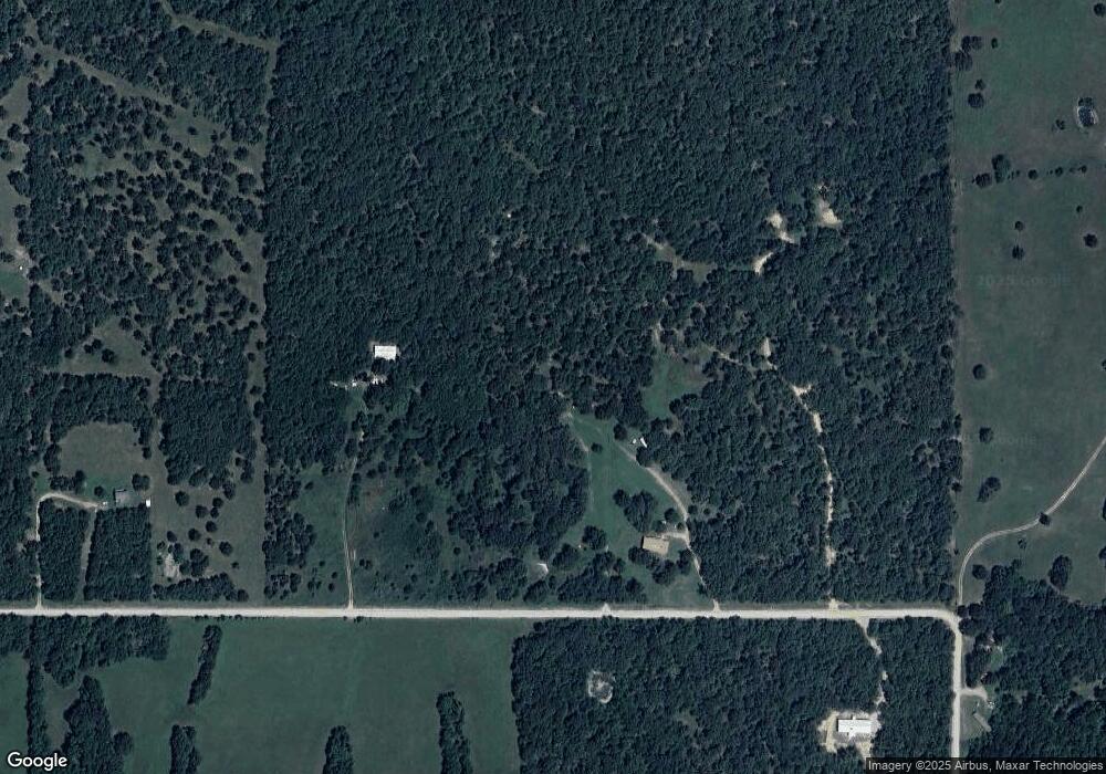
Map
Nearby Homes
- TBD SE 575
- TRACT 2 SE 575
- TRACT 1 SE 575
- 10761 E 590 Rd
- 9212 S 443 Rd
- 13037 E 590 Rd
- 11377 E 590
- 007275 E 570 Rd
- 7275 E 570
- 15055 E 412
- 7383 S 447 Rd
- 5545 E 412
- 12809 E Highway 412
- 10171 U S 412 Alternate
- 6959 E 561 Rd
- 6594 E 563 Rd
- 0 E 586 Rd Unit 2604436
- 13843 E 586 Rd
- 7864 S 449 Rd
- 0 Hwy 82 S Unit 2549526
- 9873 E 580
- 0 N 4450 Rd Unit 1290125
- 0 N 4450 Rd Unit 1282653
- 0 N 4450 Rd Unit 2105408
- TBD Road
- 9499 E 580
- 0 E 580 Rd Unit 1210557
- 0 E 580 Rd Unit 1290130
- 0 E 580 Rd Unit 22-661
- 0 E 580 Rd Unit 22-143
- 0 E 580 Rd Unit 1281461
- 0 E 580 Rd Unit 2300401
- 0 E 580 Rd Unit 1835446
- 0 E 580 Rd Unit 1910069
- 0 E 580 Rd Unit 1934569
- 0 E 580 Rd Unit 1936052
- 0 E 580 Rd Unit 2011224
- 0 E 580 Rd Unit 2035820
- 0 E 580 Rd Unit 2221138
- 9627 E 580
Your Personal Tour Guide
Ask me questions while you tour the home.