988 Spring Grove Rd Hollister, CA 95023
Estimated Value: $1,177,135 - $1,945,000
4
Beds
2
Baths
3,270
Sq Ft
$474/Sq Ft
Est. Value
About This Home
This home is located at 988 Spring Grove Rd, Hollister, CA 95023 and is currently estimated at $1,549,034, approximately $473 per square foot. 988 Spring Grove Rd is a home located in San Benito County with nearby schools including Spring Grove Elementary School and San Benito High School.
Ownership History
Date
Name
Owned For
Owner Type
Purchase Details
Closed on
Feb 1, 2024
Sold by
Young Properties Ii Lp
Bought by
Michael And Nancy Kearns Living Trust and Kearns
Current Estimated Value
Purchase Details
Closed on
Jun 29, 2006
Sold by
Young William H
Bought by
Young Properties Ii Lp
Purchase Details
Closed on
Jun 30, 2004
Sold by
Young William H
Bought by
Young Properties Lp
Create a Home Valuation Report for This Property
The Home Valuation Report is an in-depth analysis detailing your home's value as well as a comparison with similar homes in the area
Home Values in the Area
Average Home Value in this Area
Purchase History
| Date | Buyer | Sale Price | Title Company |
|---|---|---|---|
| Michael And Nancy Kearns Living Trust | -- | None Listed On Document | |
| Young Properties Ii Lp | -- | None Available | |
| Young William H | -- | None Available | |
| Young Properties Lp | -- | -- | |
| Young William H | -- | -- | |
| Young William H | -- | -- |
Source: Public Records
Tax History Compared to Growth
Tax History
| Year | Tax Paid | Tax Assessment Tax Assessment Total Assessment is a certain percentage of the fair market value that is determined by local assessors to be the total taxable value of land and additions on the property. | Land | Improvement |
|---|---|---|---|---|
| 2025 | $5,133 | $1,428,000 | $739,500 | $688,500 |
| 2023 | $5,133 | $399,311 | $151,706 | $247,605 |
| 2022 | $4,965 | $391,482 | $148,732 | $242,750 |
| 2021 | $4,885 | $383,807 | $145,816 | $237,991 |
| 2020 | $4,799 | $379,872 | $144,321 | $235,551 |
| 2019 | $4,727 | $372,425 | $141,492 | $230,933 |
| 2018 | $4,553 | $365,123 | $138,718 | $226,405 |
| 2017 | $4,481 | $357,965 | $135,999 | $221,966 |
| 2016 | $4,311 | $350,947 | $133,333 | $217,614 |
| 2015 | $4,251 | $345,677 | $131,331 | $214,346 |
| 2014 | $4,097 | $338,907 | $128,759 | $210,148 |
Source: Public Records
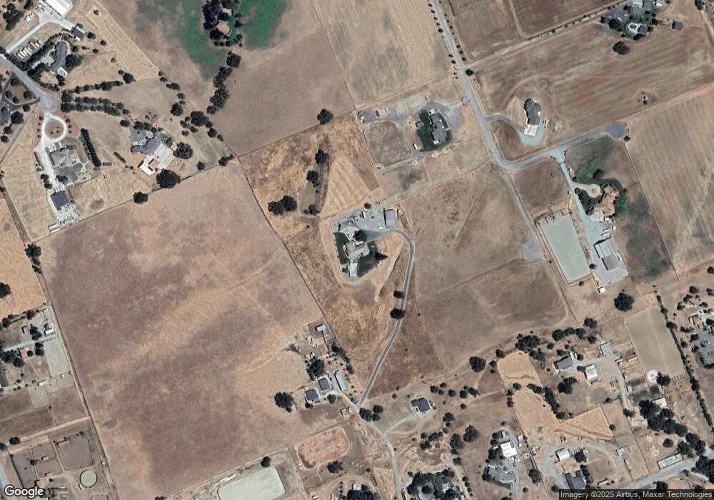
Map
Nearby Homes
- 0 Bluff Dr
- 111 Ausaymas Ct
- 560 Tevis Trail
- 804 Comstock Rd
- 1152 Little River Dr
- 410 Anne Marie Ct
- 301 Carpenter Dr
- 160 Tevis Trail
- 0 Highway 25 Unit ML81983146
- 2101 Bert Dr
- 0 Bert Dr
- 1965 Airway Dr
- 1961 Airway Dr
- 1951 Airway Dr
- 0 Edgewood Dr
- 2900 Fairview Rd Unit 1
- 773 San Felipe Rd
- 1353 Perry Ct
- 610 San Felipe Rd
- 307 Mansfield Rd
- 140 Ausaymas Ct
- 140 Asuymas Ct
- 1110 Spring Grove Rd
- 970 Spring Grove Rd
- 1185 Bluff Ct
- 1185 Bluff Dr
- 1050 Spring Grove Rd
- 940 Spring Grove Rd
- 131 Asuymas Ct
- 1080 Spring Grove Rd
- 1177 Comstock Rd
- 120 Asuymas Ct
- 800 Spring Grove Rd
- 690 Tevis Trail
- 710 Tevis Trail
- 660 Tevis Trail
- 121 Asuymas Ct
- 1250 Spring Grove Rd
- 951 Spring Grove Rd
- 1111 Spring Grove Rd