988 Weaver Rd Bronson, MI 49028
Estimated Value: $182,000 - $257,000
3
Beds
1
Bath
1,759
Sq Ft
$125/Sq Ft
Est. Value
About This Home
This home is located at 988 Weaver Rd, Bronson, MI 49028 and is currently estimated at $220,345, approximately $125 per square foot. 988 Weaver Rd is a home located in Branch County with nearby schools including Ryan Elementary School, Anderson Elementary School, and Bronson Junior/Senior High School.
Ownership History
Date
Name
Owned For
Owner Type
Purchase Details
Closed on
Nov 21, 2019
Sold by
Losinski Dawn Marie and Savage Dennis A
Bought by
Losinski Dawn Marie
Current Estimated Value
Purchase Details
Closed on
Mar 17, 2003
Sold by
Losinski Dawn Marie
Bought by
Losinski Dawn Marie and Savage Denn
Purchase Details
Closed on
Oct 13, 2000
Bought by
Losinski Dawn Marie
Create a Home Valuation Report for This Property
The Home Valuation Report is an in-depth analysis detailing your home's value as well as a comparison with similar homes in the area
Purchase History
| Date | Buyer | Sale Price | Title Company |
|---|---|---|---|
| Losinski Dawn Marie | -- | None Available | |
| Losinski Dawn Marie | -- | -- | |
| Losinski Dawn Marie | -- | -- |
Source: Public Records
Tax History
| Year | Tax Paid | Tax Assessment Tax Assessment Total Assessment is a certain percentage of the fair market value that is determined by local assessors to be the total taxable value of land and additions on the property. | Land | Improvement |
|---|---|---|---|---|
| 2025 | $1,672 | $110,431 | $0 | $0 |
| 2024 | $6 | $107,974 | $0 | $0 |
| 2023 | $600 | $88,471 | $0 | $0 |
| 2022 | $600 | $78,644 | $0 | $0 |
| 2021 | $1,396 | $72,446 | $0 | $0 |
| 2020 | $1,396 | $70,971 | $0 | $0 |
| 2019 | -- | $61,354 | $0 | $0 |
| 2018 | -- | $58,660 | $0 | $0 |
| 2017 | -- | $57,643 | $0 | $0 |
| 2016 | -- | $54,546 | $0 | $0 |
| 2015 | -- | $51,929 | $0 | $0 |
| 2014 | -- | $49,754 | $0 | $0 |
| 2013 | -- | $47,587 | $0 | $0 |
Source: Public Records
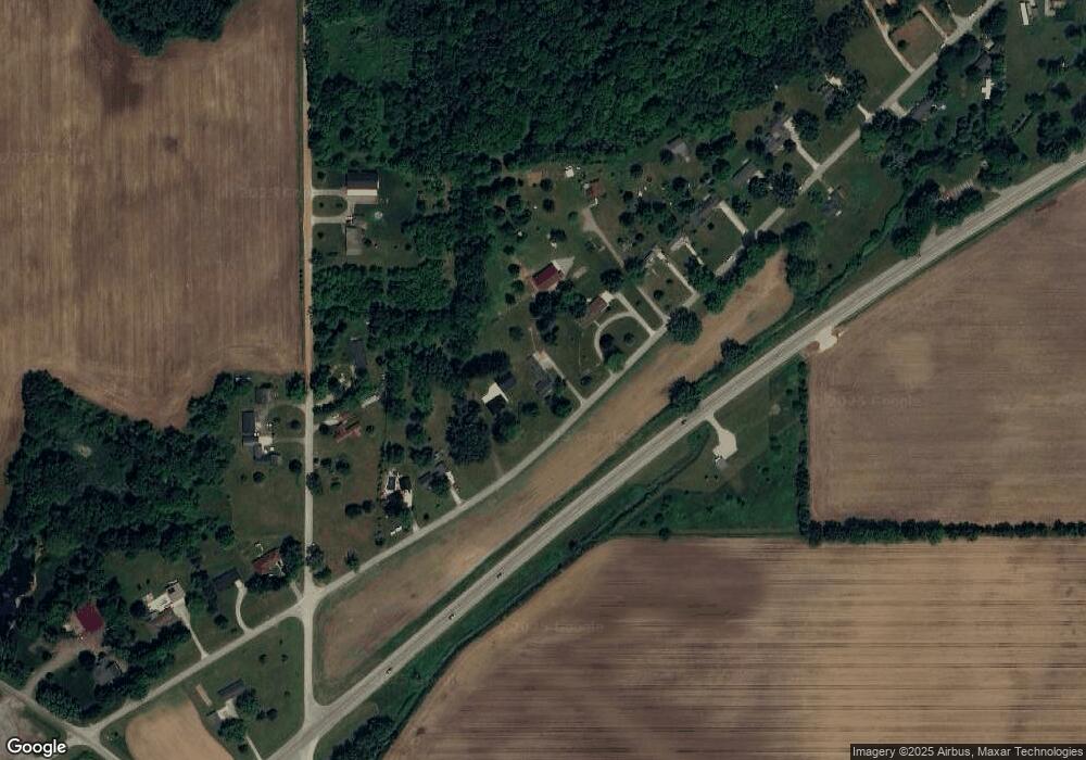
Map
Nearby Homes
- 224 S Ruggles St
- 410 Franklin St
- 220 N Douglas St
- 0 Bawden Rd
- 644 S Matteson St
- 1015 Brink Rd
- 150 Washington St
- 1051 Brink Rd
- 225 N Lincoln St
- 234 N Lincoln St
- 351 Roosevelt St
- 325 N Lincoln St
- 769 Kosmerick Rd
- 317 S Parham Rd
- 130 Osborn Rd
- 230 S 5th St
- 812 George Rd
- 604 W Front St
- 368 Cranson Rd
- 832 W Front St
Your Personal Tour Guide
Ask me questions while you tour the home.