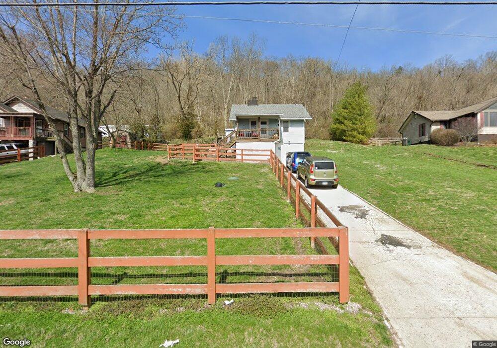
9880 Brower Rd North Bend, OH 45052
Estimated Value: $100,000 - $140,000
3
Beds
1
Bath
1,074
Sq Ft
$110/Sq Ft
Est. Value
About This Home
This home is located at 9880 Brower Rd, North Bend, OH 45052 and is currently estimated at $118,076, approximately $109 per square foot. 9880 Brower Rd is a home located in Hamilton County with nearby schools including Charles T. Young Elementary School, Taylor Middle School, and Taylor High School.
Ownership History
Date
Name
Owned For
Owner Type
Purchase Details
Closed on
Mar 15, 2001
Sold by
Ray Hunt Danny and Ray Sharon M
Bought by
Niemann Robert J
Current Estimated Value
Home Financials for this Owner
Home Financials are based on the most recent Mortgage that was taken out on this home.
Original Mortgage
$56,100
Outstanding Balance
$20,596
Interest Rate
7.13%
Mortgage Type
VA
Estimated Equity
$97,480
Create a Home Valuation Report for This Property
The Home Valuation Report is an in-depth analysis detailing your home's value as well as a comparison with similar homes in the area
Home Values in the Area
Average Home Value in this Area
Purchase History
| Date | Buyer | Sale Price | Title Company |
|---|---|---|---|
| Niemann Robert J | $55,000 | Superior Title Agency Inc |
Source: Public Records
Mortgage History
| Date | Status | Borrower | Loan Amount |
|---|---|---|---|
| Open | Niemann Robert J | $56,100 |
Source: Public Records
Tax History Compared to Growth
Tax History
| Year | Tax Paid | Tax Assessment Tax Assessment Total Assessment is a certain percentage of the fair market value that is determined by local assessors to be the total taxable value of land and additions on the property. | Land | Improvement |
|---|---|---|---|---|
| 2024 | $1,148 | $24,360 | $11,669 | $12,691 |
| 2023 | $1,150 | $24,360 | $11,669 | $12,691 |
| 2022 | $1,345 | $22,355 | $11,575 | $10,780 |
| 2021 | $1,311 | $22,355 | $11,575 | $10,780 |
| 2020 | $1,323 | $22,355 | $11,575 | $10,780 |
| 2019 | $1,203 | $18,785 | $9,727 | $9,058 |
| 2018 | $1,156 | $18,785 | $9,727 | $9,058 |
| 2017 | $1,086 | $18,785 | $9,727 | $9,058 |
| 2016 | $1,226 | $21,924 | $10,409 | $11,515 |
| 2015 | $1,239 | $21,924 | $10,409 | $11,515 |
| 2014 | $1,252 | $21,924 | $10,409 | $11,515 |
| 2013 | $1,147 | $20,490 | $9,727 | $10,763 |
Source: Public Records
Map
Nearby Homes
- 2700 Rittenhouse Rd
- 10451 Dugan Gap Rd
- 36 Timberline Ct
- 9807 Miamiview Rd
- 7284 W Harrison Ave
- 143 Mount Nebo Rd
- 118 Mount Nebo Rd
- The Jefferson Plan at North Pointe
- The Bristol Plan at North Pointe
- The Austin Plan at North Pointe
- The Rosewood Plan at North Pointe
- The Ella Marie Plan at North Pointe
- The Lancaster Plan at North Pointe
- The Morgan Plan at North Pointe
- The Madison Plan at North Pointe
- The Mariemont Plan at North Pointe
- The Kendall Plan at North Pointe
- The Avalon Plan at North Pointe
- The Westchester Plan at North Pointe
- The Camden Plan at North Pointe