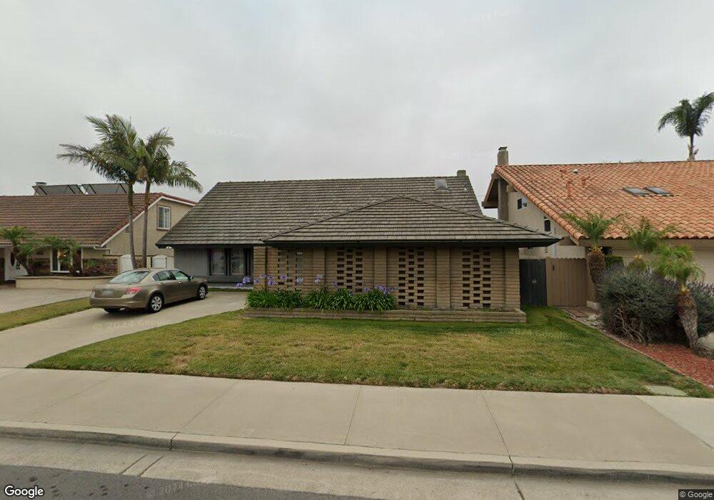
9882 Kite Dr Huntington Beach, CA 92646
Southeast NeighborhoodEstimated Value: $1,729,000 - $2,102,000
6
Beds
3
Baths
3,049
Sq Ft
$620/Sq Ft
Est. Value
About This Home
This home is located at 9882 Kite Dr, Huntington Beach, CA 92646 and is currently estimated at $1,889,641, approximately $619 per square foot. 9882 Kite Dr is a home located in Orange County with nearby schools including Ralph E. Hawes Elementary School, Isaac L. Sowers Middle School, and Edison High School.
Ownership History
Date
Name
Owned For
Owner Type
Purchase Details
Closed on
Dec 7, 2022
Sold by
Ragona Jo Anne E
Bought by
Jo Anne E Ragona Trust
Current Estimated Value
Create a Home Valuation Report for This Property
The Home Valuation Report is an in-depth analysis detailing your home's value as well as a comparison with similar homes in the area
Home Values in the Area
Average Home Value in this Area
Purchase History
| Date | Buyer | Sale Price | Title Company |
|---|---|---|---|
| Jo Anne E Ragona Trust | -- | -- | |
| Ragona Jo Anne E | -- | -- |
Source: Public Records
Tax History Compared to Growth
Tax History
| Year | Tax Paid | Tax Assessment Tax Assessment Total Assessment is a certain percentage of the fair market value that is determined by local assessors to be the total taxable value of land and additions on the property. | Land | Improvement |
|---|---|---|---|---|
| 2025 | $13,656 | $1,227,068 | $1,034,171 | $192,897 |
| 2024 | $13,656 | $1,203,008 | $1,013,893 | $189,115 |
| 2023 | $13,354 | $1,179,420 | $994,013 | $185,407 |
| 2022 | $13,005 | $1,156,295 | $974,523 | $181,772 |
| 2021 | $12,764 | $1,133,623 | $955,415 | $178,208 |
| 2020 | $1,695 | $128,708 | $35,366 | $93,342 |
| 2019 | $1,677 | $126,185 | $34,673 | $91,512 |
| 2018 | $1,651 | $123,711 | $33,993 | $89,718 |
| 2017 | $1,628 | $121,286 | $33,327 | $87,959 |
| 2016 | $1,563 | $118,908 | $32,673 | $86,235 |
| 2015 | $1,545 | $117,122 | $32,182 | $84,940 |
| 2014 | $1,512 | $114,828 | $31,551 | $83,277 |
Source: Public Records
Map
Nearby Homes
- 21022 Manessa Cir
- 21072 Galbar Cir
- 9802 Effingham Dr
- 10101 Theseus Dr
- 9581 Chevy Chase Dr
- 9812 La Cresta Cir
- 21361 Lemontree Ln
- 21382 Lemontree Ln
- 20862 Lancelot Ln
- 2175 Pacific Ave Unit C1
- 20392 Redwood Ln
- 20442 Craimer Ln
- 21221 Hillsdale Ln
- 1269 Westreef
- 9221 Belcaro Dr
- 1170 Gleneagles Terrace
- 21662 Brookhurst St Unit D
- 10172 Stonybrook Dr
- 9522 Yellowstone Dr
- 21722 Hilaria Cir