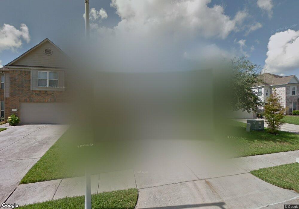
9890 Wing St Conroe, TX 77385
Estimated Value: $226,464 - $279,000
3
Beds
2
Baths
1,540
Sq Ft
$163/Sq Ft
Est. Value
About This Home
This home is located at 9890 Wing St, Conroe, TX 77385 and is currently estimated at $251,366, approximately $163 per square foot. 9890 Wing St is a home located in Montgomery County with nearby schools including Suchma Elementary School, Irons J High School, and Oak Ridge High School.
Ownership History
Date
Name
Owned For
Owner Type
Purchase Details
Closed on
Mar 1, 2012
Sold by
Mcgrath Beth and Brouwer Georgia
Bought by
Leland Stella M
Current Estimated Value
Home Financials for this Owner
Home Financials are based on the most recent Mortgage that was taken out on this home.
Original Mortgage
$63,000
Outstanding Balance
$43,088
Interest Rate
3.93%
Mortgage Type
New Conventional
Estimated Equity
$208,278
Purchase Details
Closed on
Oct 23, 2007
Sold by
Long Lake Ltd
Bought by
Leland Stella M
Purchase Details
Closed on
Mar 14, 2007
Sold by
Woodmere Development Co Ltd
Bought by
Leland Stella M
Create a Home Valuation Report for This Property
The Home Valuation Report is an in-depth analysis detailing your home's value as well as a comparison with similar homes in the area
Home Values in the Area
Average Home Value in this Area
Purchase History
| Date | Buyer | Sale Price | Title Company |
|---|---|---|---|
| Leland Stella M | -- | Ctt | |
| Leland Stella M | -- | -- | |
| Leland Stella M | -- | -- |
Source: Public Records
Mortgage History
| Date | Status | Borrower | Loan Amount |
|---|---|---|---|
| Open | Leland Stella M | $63,000 |
Source: Public Records
Tax History
| Year | Tax Paid | Tax Assessment Tax Assessment Total Assessment is a certain percentage of the fair market value that is determined by local assessors to be the total taxable value of land and additions on the property. | Land | Improvement |
|---|---|---|---|---|
| 2025 | $1,542 | $221,129 | $42,500 | $178,629 |
| 2024 | $1,409 | $219,615 | -- | -- |
| 2023 | $1,409 | $199,650 | $42,500 | $202,030 |
| 2022 | $3,723 | $181,500 | $42,500 | $0 |
| 2021 | $4,567 | $175,050 | $42,500 | $137,580 |
| 2020 | $4,389 | $159,140 | $25,020 | $137,640 |
| 2019 | $4,414 | $153,040 | $16,010 | $137,900 |
| 2018 | $2,605 | $139,130 | $16,010 | $123,120 |
| 2017 | $4,091 | $139,200 | $16,010 | $123,190 |
| 2016 | $3,980 | $135,430 | $16,010 | $123,790 |
| 2015 | $2,365 | $123,120 | $16,010 | $114,630 |
| 2014 | $2,365 | $111,930 | $16,010 | $98,990 |
Source: Public Records
Map
Nearby Homes
- 9915 Valance Way
- 16870 Blackberry Lily Ln
- 9934 Yearling Place
- 16945 Scenic Knoll
- 9906 Knob Hollow Way
- 16947 Hummingbird
- 16937 Larkspur
- 16820 Infield Ct
- 16731 Foursquare Dr
- 9809 Wren Ct
- 16803 W Whimbrel Cir
- 2110 Artic Loon Dr
- 2122 Artic Loon Dr
- 10003 S Whimbrel Cir
- 2115 Pacific Loon Ln
- 16774 Fallen Timbers Dr
- 10190 N Whimbrel Cir
- 9838 Bobolink Dr
- 16771 N Rail Dr
- 16763 N Gull Dr
- 9886 Wing St
- 9894 Wing St
- 9882 Wing St
- 9893 Youpon Ridge Way
- 16921 Wren Hill St
- 16938 Tableland Trail
- 16889 Accolade Way
- 9889 Youpon Ridge Way
- 9878 Wing St
- 9878 Wing St
- 16942 Tableland Trail
- 16946 Tableland Trail
- 9874 Wing St
- 16950 Tableland Trail
- 16925 Wren Hill St
- 16928 Tableland Trail
- 9885 Youpon Ridge Way
- 16885 Accolade Way
- 16890 Accolade Way
- 16954 Tableland Trail
Your Personal Tour Guide
Ask me questions while you tour the home.