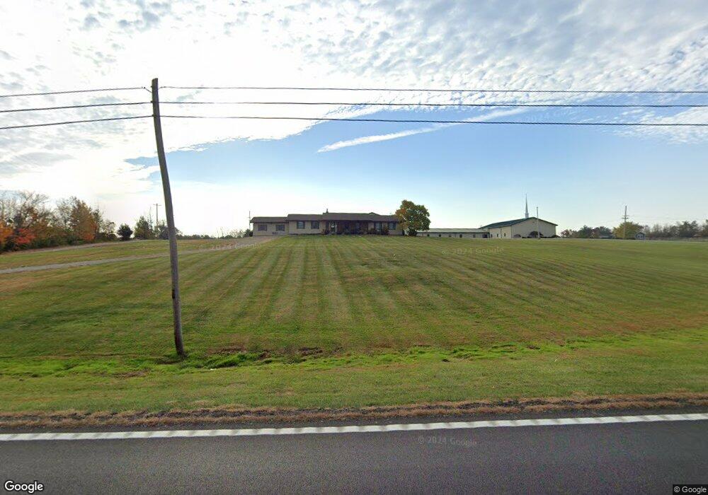
9898 State Route 41 West Union, OH 45693
Estimated Value: $220,000 - $298,000
3
Beds
2
Baths
2,704
Sq Ft
$94/Sq Ft
Est. Value
About This Home
This home is located at 9898 State Route 41, West Union, OH 45693 and is currently estimated at $255,172, approximately $94 per square foot. 9898 State Route 41 is a home located in Adams County with nearby schools including West Union Elementary School, West Union High School, and Adams County Christian School.
Ownership History
Date
Name
Owned For
Owner Type
Purchase Details
Closed on
Mar 11, 2004
Bought by
Bible Baptist Church
Current Estimated Value
Purchase Details
Closed on
Apr 6, 2001
Sold by
Hensley John H
Bought by
Bible Baptist Church
Purchase Details
Closed on
Nov 20, 1997
Sold by
Grooms Marla
Bought by
Hensley John H
Purchase Details
Closed on
Jun 20, 1997
Sold by
Grooms Jeremy
Bought by
Grooms Jeremy
Create a Home Valuation Report for This Property
The Home Valuation Report is an in-depth analysis detailing your home's value as well as a comparison with similar homes in the area
Home Values in the Area
Average Home Value in this Area
Purchase History
| Date | Buyer | Sale Price | Title Company |
|---|---|---|---|
| Bible Baptist Church | -- | -- | |
| Bible Baptist Church | $200,000 | -- | |
| Hensley John H | $107,000 | -- | |
| Grooms Jeremy | -- | -- |
Source: Public Records
Tax History Compared to Growth
Tax History
| Year | Tax Paid | Tax Assessment Tax Assessment Total Assessment is a certain percentage of the fair market value that is determined by local assessors to be the total taxable value of land and additions on the property. | Land | Improvement |
|---|---|---|---|---|
| 2024 | $1,107 | $64,510 | $9,450 | $55,060 |
| 2023 | $2,179 | $64,510 | $9,450 | $55,060 |
| 2022 | $2,213 | $57,190 | $6,930 | $50,260 |
| 2021 | $2,129 | $57,190 | $6,930 | $50,260 |
| 2020 | $2,177 | $57,190 | $6,930 | $50,260 |
| 2019 | $2,177 | $57,190 | $6,930 | $50,260 |
| 2018 | $1,824 | $48,830 | $6,930 | $41,900 |
| 2017 | $1,795 | $48,830 | $6,930 | $41,900 |
| 2016 | $1,791 | $48,830 | $6,930 | $41,900 |
| 2015 | $2,123 | $59,890 | $8,020 | $51,870 |
| 2014 | $2,124 | $59,890 | $8,020 | $51,870 |
Source: Public Records
Map
Nearby Homes
- 9598 State Route 41
- 40 Greenwood Ave
- 81 Evergreen St
- 271 Crawford Rd
- 333 Crawford Rd
- 1070 Eagle Creek Rd
- 0 Cic Blvd
- 4423 Pumpkin Ridge Rd
- 223 Polk St
- 144 ac Pumpkin Ridge Rd
- 0 State Route 41 1 Acre Lot
- 714 Panhandle Ave
- 286 & 290 S Market St
- 408 W South St
- 101 S Mound St
- 305 W Walnut St
- 216 S Market St
- 4700 Ohio 247
- 302 W Main St
- 12196 State Route 41