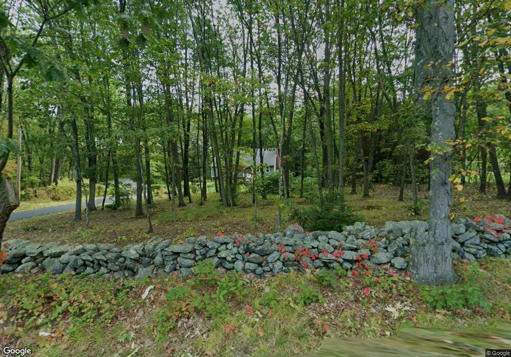
99 Albright Rd Sterling, MA 01564
Estimated Value: $628,508 - $768,000
4
Beds
3
Baths
1,954
Sq Ft
$366/Sq Ft
Est. Value
About This Home
This home is located at 99 Albright Rd, Sterling, MA 01564 and is currently estimated at $714,877, approximately $365 per square foot. 99 Albright Rd is a home located in Worcester County with nearby schools including Wachusett Regional High School and South Lancaster Academy.
Ownership History
Date
Name
Owned For
Owner Type
Purchase Details
Closed on
Aug 10, 2022
Sold by
Steele Michael R and Steele Charlene A
Bought by
Steele Ft
Current Estimated Value
Purchase Details
Closed on
May 29, 1992
Sold by
Gibson Elizabeth S and Moss Stanley E
Bought by
Steele Michael R and Steele Charlene
Home Financials for this Owner
Home Financials are based on the most recent Mortgage that was taken out on this home.
Original Mortgage
$160,000
Interest Rate
8.7%
Mortgage Type
Purchase Money Mortgage
Create a Home Valuation Report for This Property
The Home Valuation Report is an in-depth analysis detailing your home's value as well as a comparison with similar homes in the area
Home Values in the Area
Average Home Value in this Area
Purchase History
| Date | Buyer | Sale Price | Title Company |
|---|---|---|---|
| Steele Ft | -- | None Available | |
| Steele Michael R | $184,500 | -- |
Source: Public Records
Mortgage History
| Date | Status | Borrower | Loan Amount |
|---|---|---|---|
| Previous Owner | Steele Michael R | $91,000 | |
| Previous Owner | Steele Michael R | $152,800 | |
| Previous Owner | Steele Michael R | $160,000 |
Source: Public Records
Tax History Compared to Growth
Tax History
| Year | Tax Paid | Tax Assessment Tax Assessment Total Assessment is a certain percentage of the fair market value that is determined by local assessors to be the total taxable value of land and additions on the property. | Land | Improvement |
|---|---|---|---|---|
| 2025 | $7,494 | $581,800 | $133,600 | $448,200 |
| 2024 | $7,021 | $527,500 | $133,600 | $393,900 |
| 2023 | $7,223 | $505,100 | $133,400 | $371,700 |
| 2022 | $6,545 | $429,200 | $121,300 | $307,900 |
| 2021 | $6,676 | $404,100 | $121,300 | $282,800 |
| 2020 | $6,242 | $371,300 | $121,300 | $250,000 |
| 2019 | $6,024 | $348,800 | $121,300 | $227,500 |
| 2018 | $5,665 | $323,000 | $122,600 | $200,400 |
| 2017 | $5,479 | $303,900 | $113,800 | $190,100 |
| 2016 | $5,149 | $280,900 | $113,800 | $167,100 |
| 2015 | $5,076 | $293,600 | $115,800 | $177,800 |
| 2014 | $4,971 | $293,600 | $115,800 | $177,800 |
Source: Public Records
Map
Nearby Homes
- 121 &125 Flanagan Hill Rd
- 0 Brockelman Rd
- 28 Sandy Ridge Rd
- 765 Brockelman Rd
- 765 Brockelman Road Lot C
- 96 Clinton Rd
- 25 N Row Rd
- 2 Stuart Rd
- 2 Katie Ln
- 45 Meetinghouse Hill Rd
- 41 Meetinghouse Hill Rd
- 151 Berrington Rd
- 4 Redstone Hill Rd
- 97 N Row Rd
- 136 Narrow Ln
- 121 Sylvan Rd
- 675 Willard St
- 85 Prescott St
- 1237 Central St Unit 2
- 1237 Central St Unit 15
- 97 Albright Rd
- 95 Flanagan Hill Rd
- 101 Albright Rd
- 97 Flanagan Hill Rd
- 95 Albright Rd
- 99 Flanagan Hill Rd
- 99 Flanagan Hill Rd Unit 1
- 3 Samuels Ln
- 4 Samuels Ln
- 93 Albright Rd
- 101 Flanagan Hill Rd
- 98 Flanagan Hill Rd
- 91 Albright Rd
- 70 Flanagan Hill Rd
- 92 Albright Rd
- 103 Flanagan Hill Rd
- 89 Albright Rd
- 2 Samuels Ln
- 88 Albright Rd
- 18 Country Club Rd